Search results
Search found 264 Ramsar Sites covering 59,593,106 ha
- (-) Remove Picture available?: Yes filter Picture available?: Yes
- (-) Remove Threats: Water regulation filter Threats: Water regulation
- (-) Remove Wetland type: Inland wetlands filter Wetland type: Inland wetlands
- (-) Remove Wetland type: Human-made wetlands filter Wetland type: Human-made wetlands
- (-) Remove Wetland type: Ts: Seasonal/ intermittent freshwater marshes/ pools on inorganic soils filter Wetland type: Ts: Seasonal/ intermittent freshwater marshes/ pools on inorganic soils
- (-) Remove Wetland type: 3: Irrigated land filter Wetland type: 3: Irrigated land
- (-) Remove Threats: Biological resource use filter Threats: Biological resource use
Map
Materials presented on this website, particularly maps and territorial information, are as-is and as-available based on available data and do not imply the expression of any opinion whatsoever on the part of the Secretariat of the Ramsar Convention concerning the legal status of any country, territory, city or area, or of its authorities, or concerning the delimitation of its frontiers or boundaries.
List
-

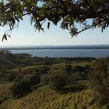

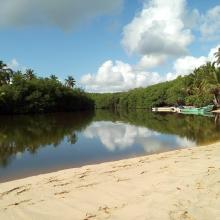
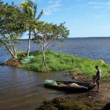
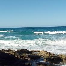
Refugio de Vida Silvestre Laguna Redonda y Limón (Los Humedales del Refugio de Vida Silvestre Laguna Redonda y Limón, Miches y Ria Maimón)
-
Country:Dominican Republic
-
Designation date:13-10-2022
-
Site number:2498
-
Published since:1 year(s)
5,754 ha -
-
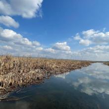
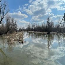
Hygam Wetland Conservation Reserve
-
Country:India
-
Designation date:08-06-2022
-
Site number:2496
-
Published since:1 year(s)
802 ha -
-
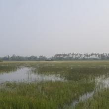

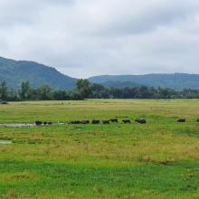
Nanda Lake
-
Country:India
-
Designation date:08-06-2022
-
Site number:2471
-
Published since:1 year(s)
42 ha -
-
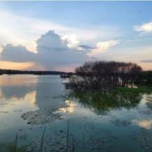
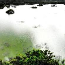
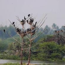
Vellode Bird Sanctuary
-
Country:India
-
Designation date:08-04-2022
-
Site number:2475
-
Published since:1 year(s)
77 ha -
-
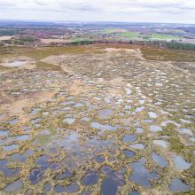


Le Pinail
-
Country:France
-
Designation date:22-10-2021
-
Site number:2461
-
Published since:2 year(s)
923 ha -
-
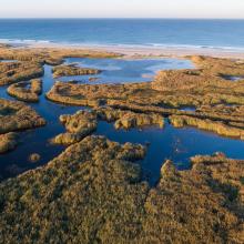
Baie d'Audierne
-
Country:France
-
Designation date:04-09-2021
-
Site number:2460
-
Published since:2 year(s)
2,396 ha -
-
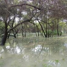
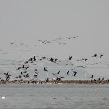

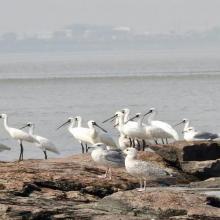
Janghang Wetland
-
Country:Republic of Korea
-
Designation date:21-05-2021
-
Site number:2448
-
Published since:2 year(s)
596 ha -
-
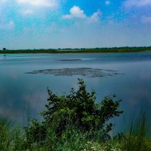
Haiderpur Wetland
-
Country:India
-
Designation date:13-04-2021
-
Site number:2463
-
Published since:2 year(s)
6,908 ha -
-
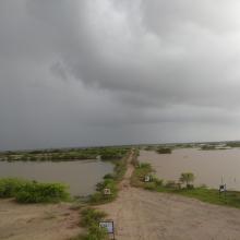
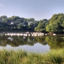

Khijadia Wildlife Sanctuary
-
Country:India
-
Designation date:13-04-2021
-
Site number:2464
-
Published since:2 year(s)
512 ha -
-


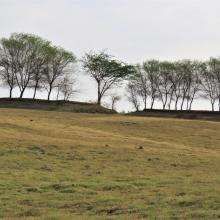
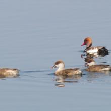
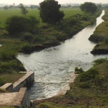
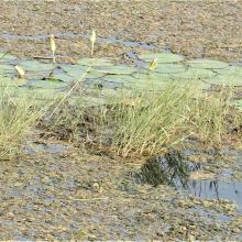


Wadhvana Wetland
-
Country:India
-
Designation date:05-04-2021
-
Site number:2454
-
Published since:2 year(s)
630 ha -


