Search results

Map

Choose map: | | Download Centroids / Boundaries / Map (pdf)
Materials presented on this website, particularly maps and territorial information, are as-is and as-available based on available data and do not imply the expression of any opinion whatsoever on the part of the Secretariat of the Ramsar Convention concerning the legal status of any country, territory, city or area, or of its authorities, or concerning the delimitation of its frontiers or boundaries.

List

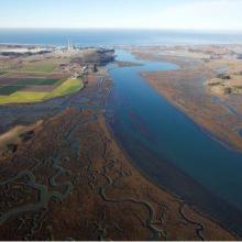
  1. Overhead Photo
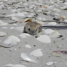
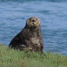
    Otter
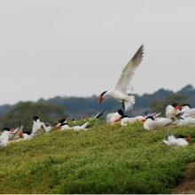
    Turns
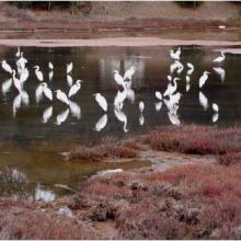
    Great Egrit
    Shore Birds
    Oyster Restoration Reef
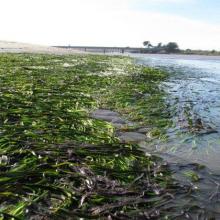
    Eel Grass Bed

    Elkhorn Slough

    • Country: 
      United States of America
    • Designation date: 
      25-06-2018
    • Site number: 
      2345
    • Published since: 
      5 year(s)
    724 ha
  2. Ramsar

    Door Peninsula Coastal Wetlands

    • Country: 
      United States of America
    • Designation date: 
      10-06-2014
    • Site number: 
      2218
    • Published since: 
      9 year(s)
    4,631 ha
  3. Ballena de aleta
    Diferentes especies de patos
    Estero del Rincón
    Estero Guadalupe
    Estero La Mona
    Estero Las Ánimas
    Estero Punta Arena
    Estero San Rafael
    Gallito marino (Sterna maxima)
    Isla Gemilito
    Isla La Ventana
    Lobo marino californiano (Zalophus californianus)
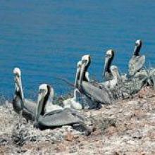
    Pelicano café (Pelecanus occidentalis)
    Playa El Venado
    Playa La Única
    Playa San Francisquito
    Punta La Gringa
    Punta María
    Punta Remedios
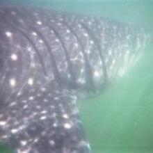
    Tiburón ballena (Rhincodon typus)
    Vista aérea del Estero del Cardón
    Vista aérea del Estero El Quemado
    Vista aérea del Estero Guadalupe
    Vista aérea del Estero Las Ánimas

    Corredor Costero La Asamblea-San Francisquito

    • Country: 
      Mexico
    • Designation date: 
      27-11-2005
    • Site number: 
      1595
    • Published since: 
      18 year(s)
    44,304 ha
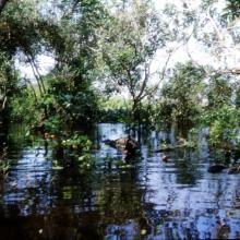
  4. Selva Baja Inundable
    Vista aérea de islas de Selva Baja inundable en temporada de secas, indispensables para los ciclos reproductivos de diferentes especies de fauna silvestre
    Arroyo hediondo es la única conexión por donde ingresa la marea y ingresan los manatís al complejo de pantanos
    Arroyo hediondo es la única conexión por donde ingresa la marea y ingresan los manatís al complejo de pantanos
    Visión parcial de una parvada de más de 11,000 pichichis (Dendrocygna autumnalis) observada en enero de 2005 descansando en los humedales de la Popotera durante su migración.
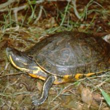
    La Tortuga Pinta (Trachemys venusta) es la especie que permanece mayor tiempo asoleándose sobre los pantanos y puede observarse fácilmente.
    La Tortuga Blanca (Dermatemys mawi) es la especie de tortuga dulceacuícola en mayor peligro de extinción en México, y estos humedales representan uno de sus últimos refugios en el estado de Veracruz.

    Humedales de la Laguna La Popotera

    • Country: 
      Mexico
    • Designation date: 
      05-06-2005
    • Site number: 
      1462
    • Published since: 
      18 year(s)
    1,975 ha
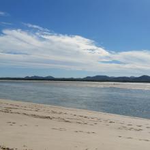
  5. Bombah Broadwater
    Swamp Webs, Myall Lakes NP
    Myall Lakes National Park
    View south from Dark Point, Myall Lakes National Park
    View of Broughton Island, Myall Lakes National Park

    Myall Lakes

    • Country: 
      Australia
    • Designation date: 
      14-06-1999
    • Site number: 
      994
    • Published since: 
      1 year(s)
    44,612 ha
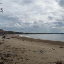
  6. Corio Bay
    Shoalwater

    Shoalwater and Corio Bays Area

    • Country: 
      Australia
    • Designation date: 
      01-03-1996
    • Site number: 
      792
    • Published since: 
      5 year(s)
    202,023 ha
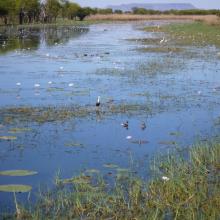
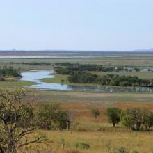
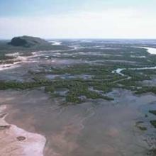
  7. Parry Lagoons
    Ord River Floodplain
    False Mouths of the Ord

    Ord River Floodplain

    • Country: 
      Australia
    • Designation date: 
      07-06-1990
    • Site number: 
      477
    • Published since: 
      6 year(s)
    140,766 ha
  8. Shot of Malpeque Bay from Malpeque Bay Salt Marsh Provincial Natural Area within the RAMSAR site

    Malpeque Bay

    • Country: 
      Canada
    • Designation date: 
      28-04-1988
    • Site number: 
      399
    • Published since: 
      4 year(s)
    24,440 ha
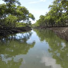
  9. Towra Point Ramsar site - mangrove lined channel
    Towra Point Ramsar site
    Elephants trunk at Towra  - showing erosion at the site
    Little Tern

    Towra Point

    • Country: 
      Australia
    • Designation date: 
      21-02-1984
    • Site number: 
      286
    • Published since: 
      1 year(s)
    632 ha
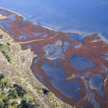
  10. Moulting Lagoon Ramsar site aerial view
    Moulting Lagoon Ramsar site black swans
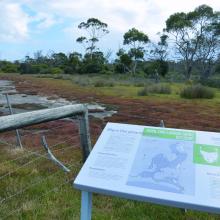
    Moulting Lagoon Ramsar site Ramsar interpretive sign
    Moulting Lagoon Ramsar site saltmarsh

    Moulting Lagoon

    • Country: 
      Australia
    • Designation date: 
      16-11-1982
    • Site number: 
      251
    • Published since: 
      1 year(s)
    4,507 ha

Pages

Stats


Exports

Export Sites information

For a summary list of all the Ramsar Sites in pdf format, click here.

Generate reports of selected Sites

You can generate a report based on the filters you have applied, in either pdf or xls format. The report will sort the results by the Site name, unless you have sorted them by another variable.

For the pdfs, you can choose whether to include the introductory text on each Site, or just show the key data in a shorter report.

To receive a report, please provide your email address and enter the text in the verification picture into the textbox.

As soon as the list has been generated an e-mail will be sent to you with the link to access the file.