Search results

Map

Choose map: | | Download Centroids / Boundaries / Map (pdf)
Materials presented on this website, particularly maps and territorial information, are as-is and as-available based on available data and do not imply the expression of any opinion whatsoever on the part of the Secretariat of the Ramsar Convention concerning the legal status of any country, territory, city or area, or of its authorities, or concerning the delimitation of its frontiers or boundaries.

List

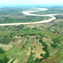
  1. Village d'Ankazomborona et mangroves dans la Baie d'Ambaro
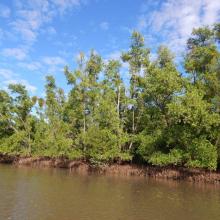
    Mangroves le long du chenal
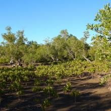
    Zone de restauration
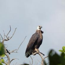
    Haliaeetus vociferoides
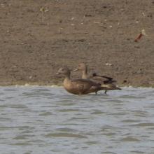
    Anas bernieri
    Ardea humbloti
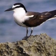
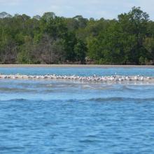
    Peuplement de Sterna bengalensis
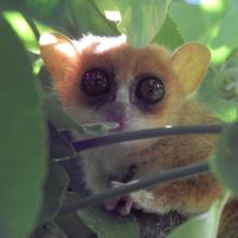
    Microcebus sambiranensis
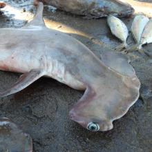
    Shpyrna mokarran
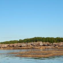
    Village de pêcheurs
    Femme pêcheur
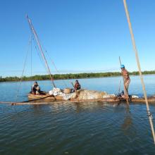
    Pêcheurs

    Mangroves de la Baie d'Ambaro

    • Country: 
      Madagascar
    • Designation date: 
      20-08-2020
    • Site number: 
      2438
    • Published since: 
      3 year(s)
    54,000 ha
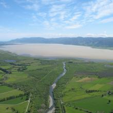
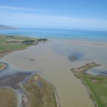
  2. Wairarapa Moana, New Zealand
    Wairarapa Moana Wetland, New Zealand
    Lake Onoke, New Zealand

    Wairarapa Moana Wetland

    • Country: 
      New Zealand
    • Designation date: 
      20-08-2020
    • Site number: 
      2432
    • Published since: 
      3 year(s)
    10,547 ha
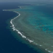
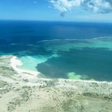
  3. Aerial - the Great Sea Reef from Nadogo, Northern Division.
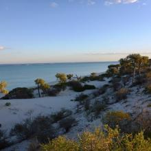
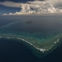
    Aerial - the Great Sea Reef surrounding Kia Island, Northern Division.
    Night time shot of a traditional Fijian bure or homes made with thatched roofs and natural material walls.
    Ligau Village fishermen out at sea fishing.
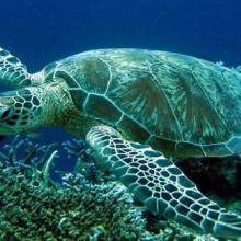
    Katawaqa Island where turtles nest and are protected.
    Mita from Ligau Levu Village expertly handles a freshly caught live aggressive mudcrab from the mangroves.
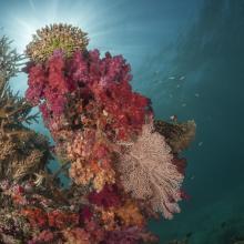
    Soft coral garden, a charming dive site of the Great Sea Reef's marine protected area.
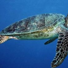
    Turtle monitors (Dau Ni Vonu)  were once turtle hunters who are now using their skills to advocate for the protection of this iconic species
    Snorkeler swims the coral reefs of the Great Sea Reefs.

    Qoliqoli Cokovata

    • Country: 
      Fiji
    • Designation date: 
      16-01-2018
    • Site number: 
      2331
    • Published since: 
      6 year(s)
    134,900 ha
  4. Quelques uns des iles Barren
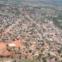
    La ville de Maintirano
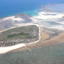
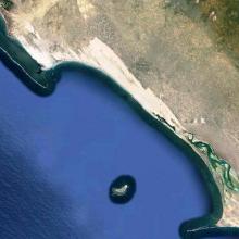
    Iles Barren
    Ile de Maroantaly
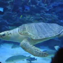
    Caretta caretta
    Chelonia mydas
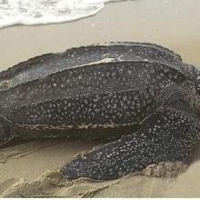
    Dermochelys coriacea
    Eretmochelys imbricata bissa
    Lepidochelys olivacea
    Haliaeetus vociferoides
    Sterna anaethetus
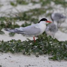
    Sterna dougallii

    Iles Barren

    • Country: 
      Madagascar
    • Designation date: 
      22-05-2017
    • Site number: 
      2303
    • Published since: 
      6 year(s)
    463,200 ha
  5. Mangroves de Tsiribihina
    Mangroves de Tsiribihina
    Zone intertidale ouverte et lieu de ponte de flamants roses
    Le fleuve Tsiribihina
    Les plaines alluviales au bord du fleuve Tsiribihina
    Mangrove mixte à Avicennia marina et Rhizophora mucronata
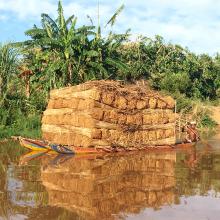
    Exploitation de Typha angustifolia par les communautés locales
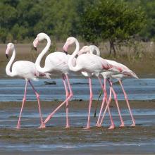
    Peuplement de flamants roses à Ankiamena
    Zones de ponte de flamants roses à Ankiamena
    Anas hottentota
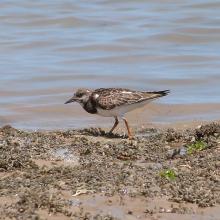
    Arenaria interpres
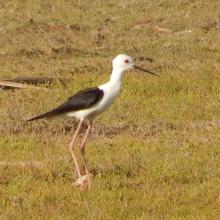
    Himantopus himantopus
    Phoenicopterus ruber
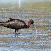
    Plegadis falcinellus

    Mangroves de Tsiribihina

    • Country: 
      Madagascar
    • Designation date: 
      22-05-2017
    • Site number: 
      2302
    • Published since: 
      6 year(s)
    47,218 ha
  6. Tanne rencontré avant les mangroves
    Mangroves de Sahamalaza
    Baie de Sahamalaza
    Baie de Sahamalaza

    Zones Humides de Sahamalaza

    • Country: 
      Madagascar
    • Designation date: 
      02-02-2017
    • Site number: 
      2288
    • Published since: 
      7 year(s)
    24,049 ha
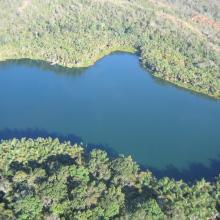
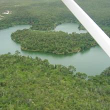
  7. Forêt sèche en bordure du lac Ravelobe
    Haliaeetus vociferoides
    Lac Ankomakoma
    Lac Antsilomba
    Lac Matsaboribiby
    Lac Ravelobe
    Lac Tsimaloto
    Haliaeetus vociferoides

    Zones Humides Ankarafantsika (CLSA)

    • Country: 
      Madagascar
    • Designation date: 
      02-02-2017
    • Site number: 
      2289
    • Published since: 
      7 year(s)
    33,145 ha
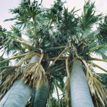
  8. Baie de Beheloka
    parcelle 7 et 8
    plage zone de ponte
    plage zone de ponte
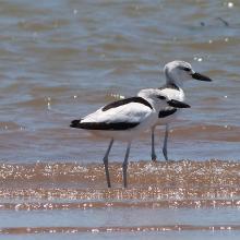
    Dromas adreola
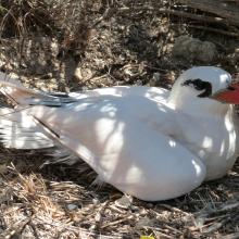
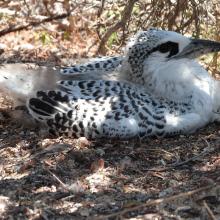
    Phaethon rubricauda
    Phaethon rubricauda
    Sterna bengalensis

    Barrière de Corail Nosy Ve Androka

    • Country: 
      Madagascar
    • Designation date: 
      02-02-2017
    • Site number: 
      2285
    • Published since: 
      7 year(s)
    91,445 ha
  9. Ramsar logo

    Namdrik Atoll

    • Country: 
      Marshall Islands
    • Designation date: 
      02-02-2012
    • Site number: 
      2072
    • Published since: 
      12 year(s)
    1,119 ha
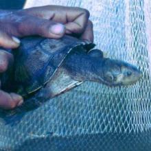
  10. Erymnochelys madagascariensis au lac Kinkony
    Borassus madagascariensis, une plante endémique Malagasy a Marandravy, Lac Kinkony

    Lac Kinkony

    • Country: 
      Madagascar
    • Designation date: 
      15-09-2011
    • Site number: 
      2048
    • Published since: 
      3 year(s)
    12,800 ha

Pages

Stats


Exports

Export Sites information

For a summary list of all the Ramsar Sites in pdf format, click here.

Generate reports of selected Sites

You can generate a report based on the filters you have applied, in either pdf or xls format. The report will sort the results by the Site name, unless you have sorted them by another variable.

For the pdfs, you can choose whether to include the introductory text on each Site, or just show the key data in a shorter report.

To receive a report, please provide your email address and enter the text in the verification picture into the textbox.

As soon as the list has been generated an e-mail will be sent to you with the link to access the file.