Search results
Search found 116 Ramsar Sites covering 54,428,912 ha
- (-) Remove Region/country: Oceania filter Region/country: Oceania
- (-) Remove Ramsar criteria: 3 filter Ramsar criteria: 3
- (-) Remove Region/country: Africa filter Region/country: Africa
- (-) Remove Wetland type: Inland wetlands filter Wetland type: Inland wetlands
- (-) Remove Picture available?: Yes filter Picture available?: Yes
- (-) Remove Wetland type: Tp: Permanent freshwater marshes/ pools filter Wetland type: Tp: Permanent freshwater marshes/ pools
- (-) Remove Wetland type: Ss: Seasonal/ intermittent saline/ brackish/ alkaline marshes/ pools filter Wetland type: Ss: Seasonal/ intermittent saline/ brackish/ alkaline marshes/ pools
Map
Materials presented on this website, particularly maps and territorial information, are as-is and as-available based on available data and do not imply the expression of any opinion whatsoever on the part of the Secretariat of the Ramsar Convention concerning the legal status of any country, territory, city or area, or of its authorities, or concerning the delimitation of its frontiers or boundaries.
List
-
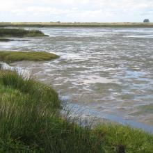
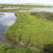


Berg Estuary Ramsar Site
-
Country:South Africa
-
Designation date:01-02-2022
-
Site number:2466
-
Published since:2 year(s)
1,163 ha -
-
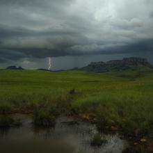
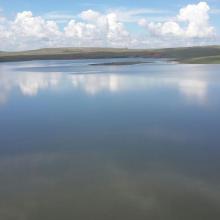
Ingula Nature Reserve
-
Country:South Africa
-
Designation date:01-03-2021
-
Site number:2446
-
Published since:3 year(s)
8,084 ha -
-
Mangroves de la Baie d'Ambaro
-
Country:Madagascar
-
Designation date:20-08-2020
-
Site number:2438
-
Published since:3 year(s)
54,000 ha -
-
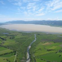
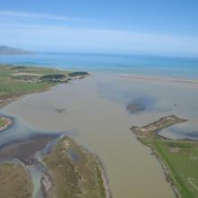
Wairarapa Moana Wetland
-
Country:New Zealand
-
Designation date:20-08-2020
-
Site number:2432
-
Published since:3 year(s)
10,547 ha -
-
Lagune et barrage de Smir
-
Country:Morocco
-
Designation date:22-05-2019
-
Site number:2380
-
Published since:4 year(s)
837 ha -
-
Oued Assaquia Al Hamra à La'youne
-
Country:Morocco
-
Designation date:16-04-2019
-
Site number:2382
-
Published since:4 year(s)
9,500 ha -
-
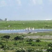


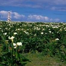
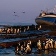
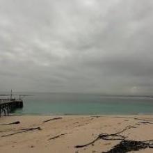
Dassen Island Nature Reserve
-
Country:South Africa
-
Designation date:29-03-2019
-
Site number:2383
-
Published since:4 year(s)
737 ha -
-
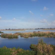

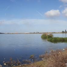
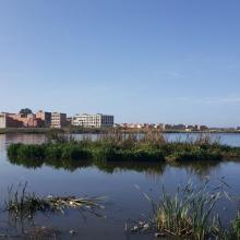

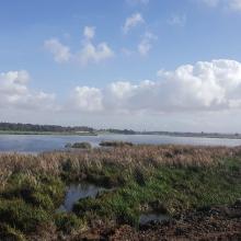
Merja de Fouwarate
-
Country:Morocco
-
Designation date:12-01-2018
-
Site number:2324
-
Published since:6 year(s)
502 ha -
-


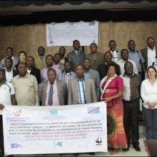
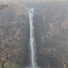
Bassin de la Lufira
-
Country:Democratic Republic of the Congo
-
Designation date:31-10-2017
-
Site number:2318
-
Published since:6 year(s)
4,470,993 ha -
-




Bas-Kouilou-Yombo
-
Country:Congo
-
Designation date:25-09-2017
-
Site number:2325
-
Published since:6 year(s)
55,124 ha -

