Search results

Map

Choose map: | | Download Centroids / Boundaries / Map (pdf)
Materials presented on this website, particularly maps and territorial information, are as-is and as-available based on available data and do not imply the expression of any opinion whatsoever on the part of the Secretariat of the Ramsar Convention concerning the legal status of any country, territory, city or area, or of its authorities, or concerning the delimitation of its frontiers or boundaries.

List

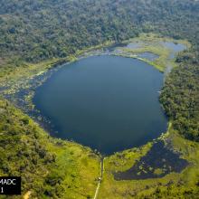
  1. Laguna Salada, en los Conucos de Montecristi, presencia d especies de anatidas y playeros.
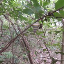
    Presencia de la especie de Liguus virgineus, en la parte terrestre de la Laguna Saladilla.
    Vista del Morro, esta forma es lo que da nombre al P.N el Morro.
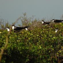
    Individuos de Ornychoprion fuscatus en Cayo Tuna, Montecristi.
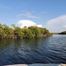
    Manglares en los Caños de Montecristi
    Especies de Pelecanus occidentalis

    Los Humedales de Montecristi y la Línea Noroeste

    • Country: 
      Dominican Republic
    • Designation date: 
      13-10-2022
    • Site number: 
      2497
    • Published since: 
      1 year(s)
    84,322 ha
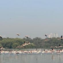
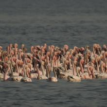
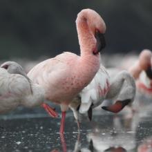
  2. Flamingoes in Thane creek
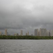
    Mangroves and City
    congregation of Lesser flamingoes
    Mangroves of Thane creek
    Closeup view

    Thane Creek

    • Country: 
      India
    • Designation date: 
      13-04-2022
    • Site number: 
      2490
    • Published since: 
      1 year(s)
    6,521 ha
  3. panoramic view of Pallikaranai Marsh
    Ariel View of Pallikaranai Marsh
    Pallikaranai Marsh
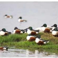
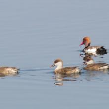
    Northern Shoveler

    Pallikaranai Marsh Reserve Forest

    • Country: 
      India
    • Designation date: 
      08-04-2022
    • Site number: 
      2481
    • Published since: 
      1 year(s)
    1,248 ha
  4. Ranganathittu Habitat
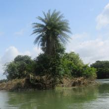
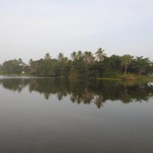
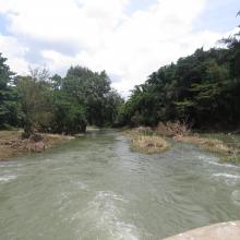
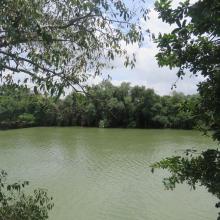
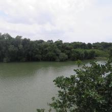
    Ranganathittu Habitat
    Ranganathittu Habitat
    Ranganathittu Habitat
    Ranganathittu Habitat
    Ranganathittu Habitat
    Ranganathittu Habitat
    Ranganathittu Habitat
    Devaraja Island
    Gendehosahalli Island
    Gendehosahalli Island
    Gendehosahalli Island
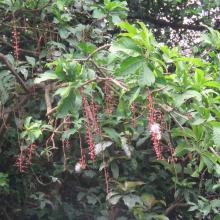
    Barringtonia acutangula, a rare plant at Ranganthittu
    Mugger (Marsh) Crocodiles Crocodylus palustris at Ranganathittu
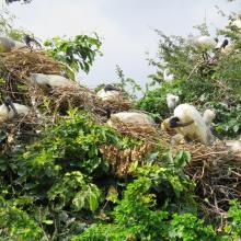
    Black-headed Ibis Threskiornis melanocephalus breeding at Ranganathittu
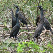
    Indian Cormorant Phalacrocorax fuscicollis at Ranganathittu
    Cattle Egret Bubulcus ibis nesting at Ranganathittu

    Ranganathittu Bird Sanctuary

    • Country: 
      India
    • Designation date: 
      15-02-2022
    • Site number: 
      2473
    • Published since: 
      1 year(s)
    518 ha
  5. Heronry birds, Yashwant sagar
    Lotus farming, Yashwant Sagar
    Expansion of Yashwant Sagar

    Yashwant Sagar

    • Country: 
      India
    • Designation date: 
      07-01-2022
    • Site number: 
      2495
    • Published since: 
      1 year(s)
    823 ha
  6. Asian openbill in Northern site of wetland
    Large open water area
    Crocodile basking on the wetland site

    Sakhya Sagar

    • Country: 
      India
    • Designation date: 
      07-01-2022
    • Site number: 
      2483
    • Published since: 
      1 year(s)
    248 ha
  7. picturesque view of Pala wetland
    Pala wetland
    Pala wetland
    Pala wetland reserve
    Pala wetland reserve

    Pala Wetland

    • Country: 
      India
    • Designation date: 
      31-08-2021
    • Site number: 
      2484
    • Published since: 
      1 year(s)
    1,850 ha
  8. Emergent Hydrophytes
    Fishing activity
    Greylag_Goose
    Inlet
    Interpretation center_for_nature education
    Islet
    Migrant Duck_Red-crested Pochard
    Open water habitat
    Outlet canal
    Rooted Hydrophyte_Nymphaea
    Submerged Hydrophyte_Ottelia
    Watch tower_for_birding

    Wadhvana Wetland

    • Country: 
      India
    • Designation date: 
      05-04-2021
    • Site number: 
      2454
    • Published since: 
      2 year(s)
    630 ha
  9. Landscape of Thol
    landscape of Thol
    landscape of Thol

    Thol Lake Wildlife Sanctuary

    • Country: 
      India
    • Designation date: 
      05-04-2021
    • Site number: 
      2458
    • Published since: 
      2 year(s)
    699 ha
  10. Aerial View of the Tso Kar basin.
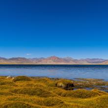
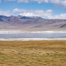
    Panoramic view of the freshwater lake of Startsapuk Tso, situated in the Tso Kar basin.
    Close up of Startsapuk Tso.
    White salt efflorescence on the  bank of Tso Kar.
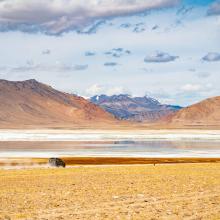
    A car passes along the road next to Tso Kar, leading to the village of Thukje.
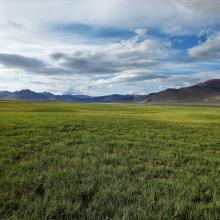
    Pasturelands in the Tso Kar basin, during the short summer season.

    Tso Kar Wetland Complex

    • Country: 
      India
    • Designation date: 
      17-11-2020
    • Site number: 
      2443
    • Published since: 
      3 year(s)
    9,577 ha

Pages

Stats


Exports

Export Sites information

For a summary list of all the Ramsar Sites in pdf format, click here.

Generate reports of selected Sites

You can generate a report based on the filters you have applied, in either pdf or xls format. The report will sort the results by the Site name, unless you have sorted them by another variable.

For the pdfs, you can choose whether to include the introductory text on each Site, or just show the key data in a shorter report.

To receive a report, please provide your email address and enter the text in the verification picture into the textbox.

As soon as the list has been generated an e-mail will be sent to you with the link to access the file.