Search results

Map

Choose map: | | Download Centroids / Boundaries / Map (pdf)
Materials presented on this website, particularly maps and territorial information, are as-is and as-available based on available data and do not imply the expression of any opinion whatsoever on the part of the Secretariat of the Ramsar Convention concerning the legal status of any country, territory, city or area, or of its authorities, or concerning the delimitation of its frontiers or boundaries.

List

  1. Laguna Salada, en los Conucos de Montecristi, presencia d especies de anatidas y playeros.
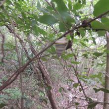
    Presencia de la especie de Liguus virgineus, en la parte terrestre de la Laguna Saladilla.
    Vista del Morro, esta forma es lo que da nombre al P.N el Morro.
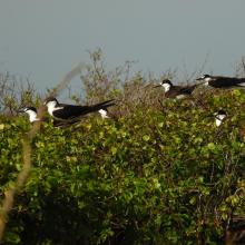
    Individuos de Ornychoprion fuscatus en Cayo Tuna, Montecristi.
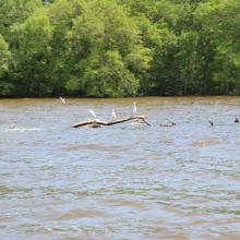
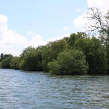
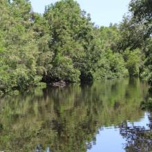
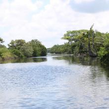
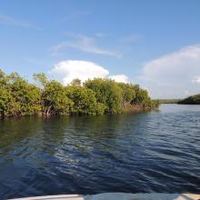
    Manglares en los Caños de Montecristi
    Especies de Pelecanus occidentalis

    Los Humedales de Montecristi y la Línea Noroeste

    • Country: 
      Dominican Republic
    • Designation date: 
      13-10-2022
    • Site number: 
      2497
    • Published since: 
      1 year(s)
    84,322 ha
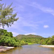
  2. Desembocadura de rió en Playa El Soldado
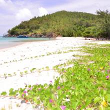
    Playa El Soldado
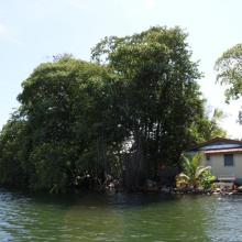
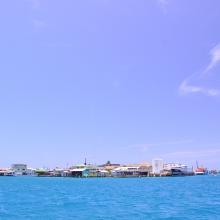
    Cayo Bonacca
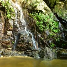
    Island House Waterfall
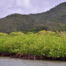
    Vista del manglar y montaña de pino desde el canal
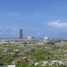
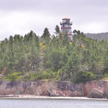
    El Faro sobre la cima de un cerro de pinos

    Sistema de Humedales de la Isla de Guanaja

    • Country: 
      Honduras
    • Designation date: 
      25-10-2021
    • Site number: 
      2456
    • Published since: 
      2 year(s)
    13,148 ha
  3. Paisaje del Estuario de Virrila
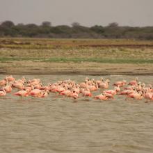
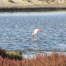
    Flamencos en el estuario de Virrilá.
    Flamencos del Estuario de Virrilá. Piura.
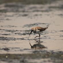
    Playerito Calidris mauri en el Estuario de Virrilá.

    Estuario de Virrilá

    • Country: 
      Peru
    • Designation date: 
      21-06-2021
    • Site number: 
      2455
    • Published since: 
      2 year(s)
    5,644 ha
  4. Ohrid lake and Studencisko blato
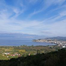
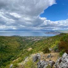
    Ohrid lake
    Ohrid lake

    Lake Ohrid

    • Country: 
      North Macedonia
    • Designation date: 
      15-02-2021
    • Site number: 
      2449
    • Published since: 
      2 year(s)
    25,205 ha
  5. Sitio Ramsar Limarí: Desembocadura Rio Limarí, desde Salala hasta su desembocadura, Región de Coquimbo, Chile. Vista de la amplitud del humedal, sus usos tradicionales y el contraste con su entorno semidesertico

    Humedal del río Limarí, desde Salala hasta su desembocadura

    • Country: 
      Chile
    • Designation date: 
      21-07-2020
    • Site number: 
      2424
    • Published since: 
      3 year(s)
    527 ha
  6. Colonia de Porites lobata
    Arothron
    Atardecer Los Cobanos
    Porites lobata
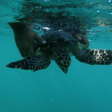
    Juvenil Carey, en rehabilitación
    Ballenas
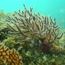
    Octocorales
    Tortugas en apareamiento
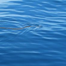
    Hydrophis platurus
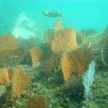
    Corales Abanico
    Strombus galeatus
    Langosta roja
    Astropyga pulvinata
    Playa Los Cobanos, Arrecife Rocoso

    Complejo Los Cobanos

    • Country: 
      El Salvador
    • Designation date: 
      02-02-2019
    • Site number: 
      2419
    • Published since: 
      4 year(s)
    21,312 ha
  7. Canal Chamber
    Espejo de Agua de la Laguna de Alvarado
    Laguna de alvarado
    Canal Chamber, Laguna de Alvarado
    Laguna de Alvarado
    Laguna de Alvarado
    Laguna de Alvarado
    Laguna de Alvarado vista aérea

    Sistema de Humedal Laguna de Alvarado

    • Country: 
      Honduras
    • Designation date: 
      02-02-2019
    • Site number: 
      2418
    • Published since: 
      4 year(s)
    13,846 ha
  8. Humedal Salinas Chica
    Humedal Salinas Chica
    Humedal Pachingo
    Humedal Salinas Chica
    Humedales de Tongoy
    Humedal Salinas Grande
    Humedal Salinas Chica
    Humedal Salinas Chica

    Humedales Costeros de la Bahía Tongoy

    • Country: 
      Chile
    • Designation date: 
      21-11-2018
    • Site number: 
      2361
    • Published since: 
      5 year(s)
    259 ha
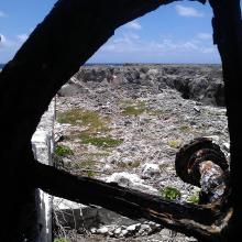
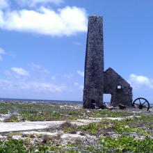
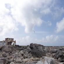
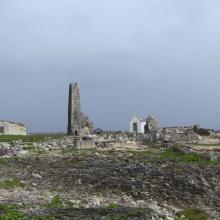
  9. View across Sombrero Island showing Old industrial workings associated with past phosphate mining, - note the date the photo was taken is unknown, not as given
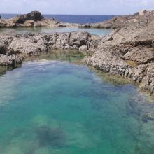
    Pools in craters caused by previous phosphate extraction, Sombrero Island - note the date the photo was taken is unknown, not as given
    Brown Boobys Sula leucogaster on Sombrero Island - note the date the photo was taken is unknown, not as given
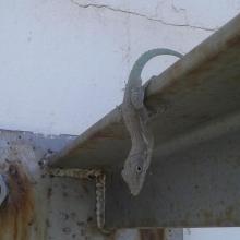
    Probable Anguilla Anole Anolis gingivinus, Sombrero Island.  However DNA samples from Sombrero in the late 1990s showed Anoles on Sombrero to be quite different to those on Anguilla and St Martin: further samples might indicate endemism.
Note the date the photo was taken is unknown, not as given
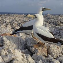
    Masked Booby Sula dactylatra on Sombrero Island - note the date the photo was taken is unknown, not as given
    Pair of Masked Boobys Sula dactylatra chick on Sombrero Island - note the date the photo was taken is unknown, not as given
    Endemic Sombrero Island Ground Lizard Ameiva corvina, Sombrero Island - note the date the photo was taken is unknown, not as given
    Endemic Sombrero Island Ground Lizard Ameiva corvina, Sombrero Island - note the date the photo was taken is unknown, not as given
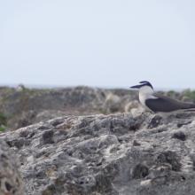
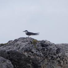
    Bridled Tern Sterna anaethetus,  Sombrero Island - note the date the photo was taken is unknown, not as given
    Masked Booby Sula dactylatra chick on Sombrero Island - note the date the photo was taken is unknown, not as given
    View across Sombrero Island showing old industrial workings associated with past phosphate mining, - note the date the photo was taken is unknown, not as given
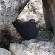
    Brown Noddy Anous stolidus on Sombrero Island - note the date the photo was taken is unknown, not as given
    Bridled Tern Sterna anaethetus,  Sombrero Island - note the date the photo was taken is unknown, not as given
    View across Sombrero Island showing vegetation on old industrial workings associated with past phosphate mining, - note the date the photo was taken is unknown, not as given
    View across Sombrero Island showing vegetation on old industrial workings associated with past phosphate mining, - note the date the photo was taken is unknown, not as given
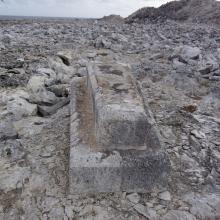
    Old industrial equipment associated with past phosphate mining, note the date the photo was taken is unknown, not as given
    View across Sombrero Island showing vegetation on old industrial workings associated with past phosphate mining, - note the date the photo was taken is unknown, not as given
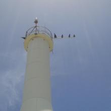
    Seabirds on telecommunications mast, Sombrero Island - note the date the photo was taken is unknown, not as given
    Sombrero Island - note the date the photo was taken is unknown, not as given
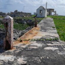
    Old industrial workings associated with past phosphate mining, Sombrero Island - note the date the photo was taken is unknown, not as given
    Brown Booby Sula leucogaster on Sombrero Island - note the date the photo was taken is unknown, not as given
    View across old phosphate mining areas, Sombrero Island - note the date the photo was taken is unknown, not as given
    Nest site of Brown Noddy Anous stolidus in shelter of rocks, Sombrero Island - note the date the photo was taken is unknown, not as given

    Sombrero Island Nature Reserve Marine Park

    • Country: 
      United Kingdom of Great Britain and Northern Ireland (Overseas territories)
    • Designation date: 
      22-05-2018
    • Site number: 
      2354
    • Published since: 
      5 year(s)
    1,051 ha
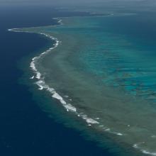
  10. Aerial - the Great Sea Reef from Nadogo, Northern Division.
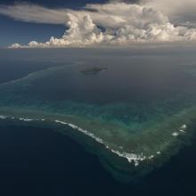
    Aerial - the Great Sea Reef surrounding Kia Island, Northern Division.
    Night time shot of a traditional Fijian bure or homes made with thatched roofs and natural material walls.
    Ligau Village fishermen out at sea fishing.
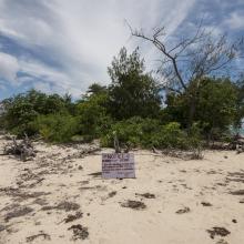
    Katawaqa Island where turtles nest and are protected.
    Mita from Ligau Levu Village expertly handles a freshly caught live aggressive mudcrab from the mangroves.
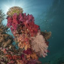
    Soft coral garden, a charming dive site of the Great Sea Reef's marine protected area.
    Turtle monitors (Dau Ni Vonu)  were once turtle hunters who are now using their skills to advocate for the protection of this iconic species
    Snorkeler swims the coral reefs of the Great Sea Reefs.

    Qoliqoli Cokovata

    • Country: 
      Fiji
    • Designation date: 
      16-01-2018
    • Site number: 
      2331
    • Published since: 
      6 year(s)
    134,900 ha

Pages

Stats


Exports

Export Sites information

For a summary list of all the Ramsar Sites in pdf format, click here.

Generate reports of selected Sites

You can generate a report based on the filters you have applied, in either pdf or xls format. The report will sort the results by the Site name, unless you have sorted them by another variable.

For the pdfs, you can choose whether to include the introductory text on each Site, or just show the key data in a shorter report.

To receive a report, please provide your email address and enter the text in the verification picture into the textbox.

As soon as the list has been generated an e-mail will be sent to you with the link to access the file.