Search results

Map

Choose map: | | Download Centroids / Boundaries / Map (pdf)
Materials presented on this website, particularly maps and territorial information, are as-is and as-available based on available data and do not imply the expression of any opinion whatsoever on the part of the Secretariat of the Ramsar Convention concerning the legal status of any country, territory, city or area, or of its authorities, or concerning the delimitation of its frontiers or boundaries.

List

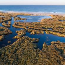
  1. Roselière de Trunvel
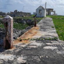
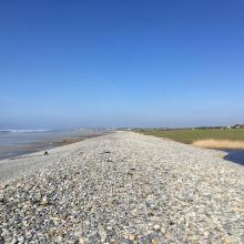
    Cordon de galets à Plovan "Ero vili"
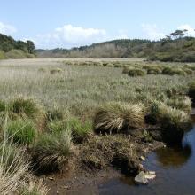
    Queue d'étang de Trunvel
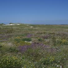
    Dune grise

    Baie d'Audierne

    • Country: 
      France
    • Designation date: 
      04-09-2021
    • Site number: 
      2460
    • Published since: 
      2 year(s)
    2,396 ha
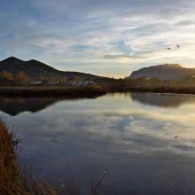
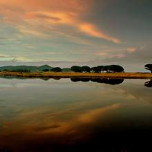
  2. Stagno Longu -
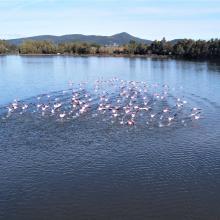
Posada - Volo di
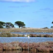
fenicotteri
    Riflessi sul Rio
Posada
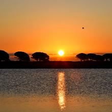
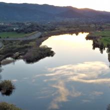
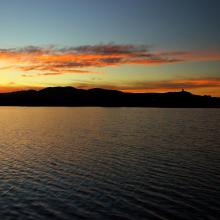
    Tramonto su
Posada dallo
stagno Longu
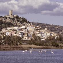
    Skyline di Posada
dal Rio Posada
    Riflessi sul Rio
Posada
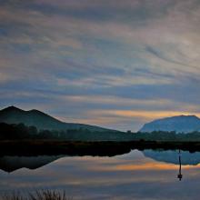
    Riflesso del
Montalbo sul Rio
Posada da San
Giovanni
    Pescatore alla
foce di Orvile
    Alba sul Rio
Posada - Stagno
Tundu
I
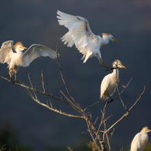
    Stagni di Posada – Volo di aironi guarda buoi (Bubulcus ibis)
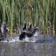
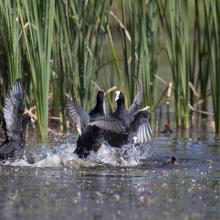
    Stagni di Posada – Combattimento di folaghe (Fulica atra)
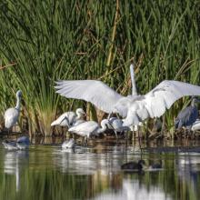
    Stagni di Posada - Aironi
    Stagni di Posada – Posatoio di Aironi guardabuoi (Bubulcus ibis)
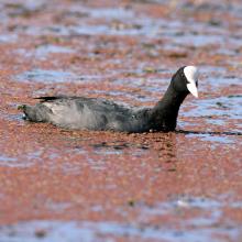
    Stagni di Posada – Folaga (Fulica atra)
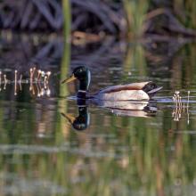
    Stagni di Posada – Germano reale
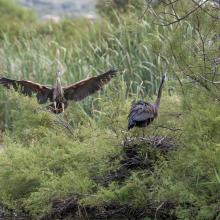
    Stagni di Posada – Nidificazione di Airone rosso (Arsea purpurea)
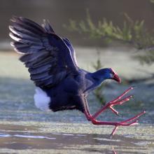
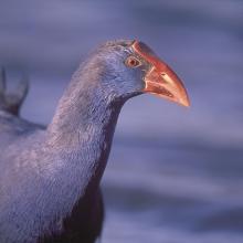
    Stagni di Posada – Pollo sulatno (Porphyrio porphyrio)
    Stagni di Posada – Pollo sultano (Porphyrio porphyrio)
    -Stagni di Posada
    Fenicotteri foce – stagno Posada
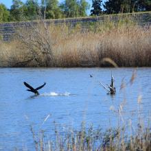
    Cormorano si alza in volo (Torpè)
    La peschiera Posada foce
    Vista aerea Ramsar a Torpè (direzione Ovest)
    Stagno – foce
    Dal guado di Torpè sguardo a Ovest
    Canneto e avifauna a Torpè

    Posada River Mouth

    • Country: 
      Italy
    • Designation date: 
      25-02-2021
    • Site number: 
      2452
    • Published since: 
      2 year(s)
    736 ha
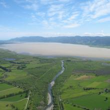
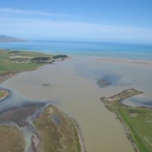
  3. Wairarapa Moana, New Zealand
    Wairarapa Moana Wetland, New Zealand
    Lake Onoke, New Zealand

    Wairarapa Moana Wetland

    • Country: 
      New Zealand
    • Designation date: 
      20-08-2020
    • Site number: 
      2432
    • Published since: 
      3 year(s)
    10,547 ha
  4. Vue d’ensemble du site
    Vue du canal Matoutia
    Vue du canal Gaby

    Etang de Saint-Paul

    • Country: 
      France (outre-mer)
    • Designation date: 
      15-07-2019
    • Site number: 
      2398
    • Published since: 
      4 year(s)
    485 ha
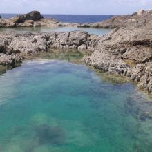
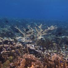
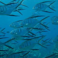
  5. Marine life surrounding Klein Curacao
    Marine life surrounding Klein Curacao
    Marine life surrounding Klein Curacao
    Marine life surrounding Klein Curacao
    Marine life surrounding Klein Curacao
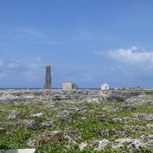
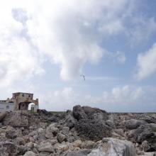
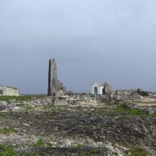
    Light house on Klein Curacao
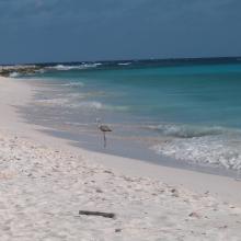
    Flamingo on Klein Curacao

    Klein Curaçao

    • Country: 
      Netherlands (Kingdom of the) (Curaçao)
    • Designation date: 
      31-07-2018
    • Site number: 
      2355
    • Published since: 
      5 year(s)
    248 ha
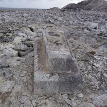
  6. View across Sombrero Island showing Old industrial workings associated with past phosphate mining, - note the date the photo was taken is unknown, not as given
    Pools in craters caused by previous phosphate extraction, Sombrero Island - note the date the photo was taken is unknown, not as given
    Brown Boobys Sula leucogaster on Sombrero Island - note the date the photo was taken is unknown, not as given
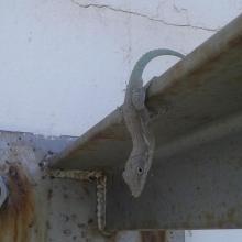
    Probable Anguilla Anole Anolis gingivinus, Sombrero Island.  However DNA samples from Sombrero in the late 1990s showed Anoles on Sombrero to be quite different to those on Anguilla and St Martin: further samples might indicate endemism.
Note the date the photo was taken is unknown, not as given
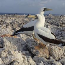
    Masked Booby Sula dactylatra on Sombrero Island - note the date the photo was taken is unknown, not as given
    Pair of Masked Boobys Sula dactylatra chick on Sombrero Island - note the date the photo was taken is unknown, not as given
    Endemic Sombrero Island Ground Lizard Ameiva corvina, Sombrero Island - note the date the photo was taken is unknown, not as given
    Endemic Sombrero Island Ground Lizard Ameiva corvina, Sombrero Island - note the date the photo was taken is unknown, not as given
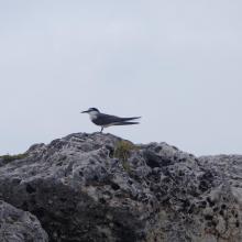
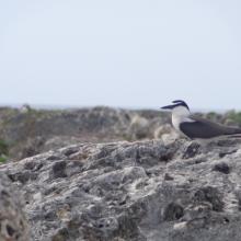
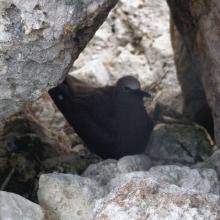
    Bridled Tern Sterna anaethetus,  Sombrero Island - note the date the photo was taken is unknown, not as given
    Masked Booby Sula dactylatra chick on Sombrero Island - note the date the photo was taken is unknown, not as given
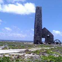
    View across Sombrero Island showing old industrial workings associated with past phosphate mining, - note the date the photo was taken is unknown, not as given
    Brown Noddy Anous stolidus on Sombrero Island - note the date the photo was taken is unknown, not as given
    Bridled Tern Sterna anaethetus,  Sombrero Island - note the date the photo was taken is unknown, not as given
    View across Sombrero Island showing vegetation on old industrial workings associated with past phosphate mining, - note the date the photo was taken is unknown, not as given
    View across Sombrero Island showing vegetation on old industrial workings associated with past phosphate mining, - note the date the photo was taken is unknown, not as given
    Old industrial equipment associated with past phosphate mining, note the date the photo was taken is unknown, not as given
    View across Sombrero Island showing vegetation on old industrial workings associated with past phosphate mining, - note the date the photo was taken is unknown, not as given
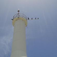
    Seabirds on telecommunications mast, Sombrero Island - note the date the photo was taken is unknown, not as given
    Sombrero Island - note the date the photo was taken is unknown, not as given
    Old industrial workings associated with past phosphate mining, Sombrero Island - note the date the photo was taken is unknown, not as given
    Brown Booby Sula leucogaster on Sombrero Island - note the date the photo was taken is unknown, not as given
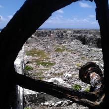
    View across old phosphate mining areas, Sombrero Island - note the date the photo was taken is unknown, not as given
    Nest site of Brown Noddy Anous stolidus in shelter of rocks, Sombrero Island - note the date the photo was taken is unknown, not as given

    Sombrero Island Nature Reserve Marine Park

    • Country: 
      United Kingdom of Great Britain and Northern Ireland (Overseas territories)
    • Designation date: 
      22-05-2018
    • Site number: 
      2354
    • Published since: 
      5 year(s)
    1,051 ha
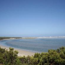
  7. Glenelg River Estuary as viewed from the Beach Road lookout, the opening to the ocean can be seen at far right.
    Coastal dune scrub on the barrier dunes adjacent to Long Swamp and shorebird habitat along the ocean beach.
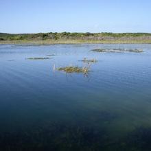
    Lake Mombeong one of the freshwater lakes of Discovery Bay

    Glenelg Estuary and Discovery Bay Ramsar Site

    • Country: 
      Australia
    • Designation date: 
      28-02-2018
    • Site number: 
      2344
    • Published since: 
      5 year(s)
    22,289 ha
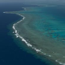
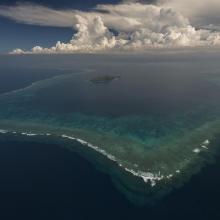
  8. Aerial - the Great Sea Reef from Nadogo, Northern Division.
    Aerial - the Great Sea Reef surrounding Kia Island, Northern Division.
    Night time shot of a traditional Fijian bure or homes made with thatched roofs and natural material walls.
    Ligau Village fishermen out at sea fishing.
    Katawaqa Island where turtles nest and are protected.
    Mita from Ligau Levu Village expertly handles a freshly caught live aggressive mudcrab from the mangroves.
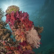
    Soft coral garden, a charming dive site of the Great Sea Reef's marine protected area.
    Turtle monitors (Dau Ni Vonu)  were once turtle hunters who are now using their skills to advocate for the protection of this iconic species
    Snorkeler swims the coral reefs of the Great Sea Reefs.

    Qoliqoli Cokovata

    • Country: 
      Fiji
    • Designation date: 
      16-01-2018
    • Site number: 
      2331
    • Published since: 
      6 year(s)
    134,900 ha
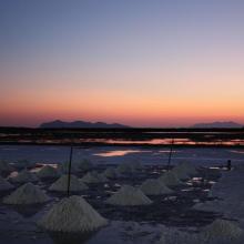
  9. Sunrise at the Salt ponds of Trapani and Paceco (Salina Salinella)
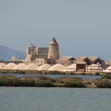
    Sunset (Salina Chiusa),on the left, the old tower of Nubia and the Egadi island on the background
    Marsh and salt ponds  area at the Salt ponds (near Salina Salinella)
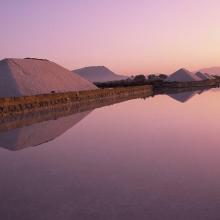
    Pile of Salt harvested and left on the leeves of the salt ponds (Salina Calcara)
    A flock of Flamingos (Phoenicopterus ruber), an old mill on the background and Favignana Island
    A flock of Flamingos (Phoenicopterus ruber)
    Cynomorium coccineum on Stagnone di Marsala Islands (Isola Grande)
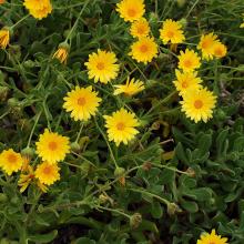
    Calendula incana subsp.  maritima on Stagnone di Marsala Islands (Isola Grande)
    Myriolimon ferulaceum on Stagnone di Marsala Islands (Isola Grande)
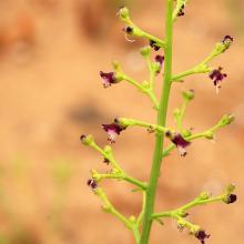
    Scrophularia frutescens on Stagnone di Marsala Islands (Isola Grande)
    Limonium hyblaeum on Stagnone di Marsala Islands (Isola Grande)

    Trapani and Paceco salt ponds

    • Country: 
      Italy
    • Designation date: 
      19-10-2017
    • Site number: 
      2329
    • Published since: 
      6 year(s)
    971 ha
  10. Lido et étang de Salses-Leucate
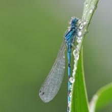
    Agrion de Mercure
    Résurgence de Font Estramar
    Pêche petits métiers
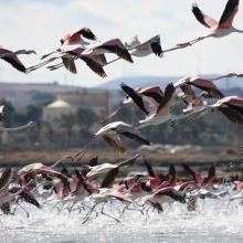
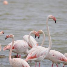
    Flamants roses
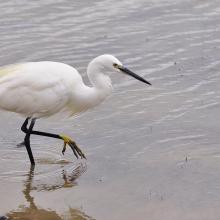
    Aigrette

    Etang de Salses-Leucate

    • Country: 
      France
    • Designation date: 
      30-06-2017
    • Site number: 
      2307
    • Published since: 
      6 year(s)
    7,637 ha

Pages

Stats


Exports

Export Sites information

For a summary list of all the Ramsar Sites in pdf format, click here.

Generate reports of selected Sites

You can generate a report based on the filters you have applied, in either pdf or xls format. The report will sort the results by the Site name, unless you have sorted them by another variable.

For the pdfs, you can choose whether to include the introductory text on each Site, or just show the key data in a shorter report.

To receive a report, please provide your email address and enter the text in the verification picture into the textbox.

As soon as the list has been generated an e-mail will be sent to you with the link to access the file.