Search results

Map

Choose map: | | Download Centroids / Boundaries / Map (pdf)
Materials presented on this website, particularly maps and territorial information, are as-is and as-available based on available data and do not imply the expression of any opinion whatsoever on the part of the Secretariat of the Ramsar Convention concerning the legal status of any country, territory, city or area, or of its authorities, or concerning the delimitation of its frontiers or boundaries.

List

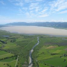
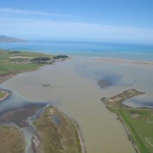
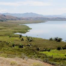
  1. Wairarapa Moana, New Zealand
    Wairarapa Moana Wetland, New Zealand
    Lake Onoke, New Zealand

    Wairarapa Moana Wetland

    • Country: 
      New Zealand
    • Designation date: 
      20-08-2020
    • Site number: 
      2432
    • Published since: 
      3 year(s)
    10,547 ha
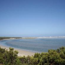
  2. Glenelg River Estuary as viewed from the Beach Road lookout, the opening to the ocean can be seen at far right.
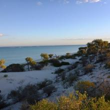
    Coastal dune scrub on the barrier dunes adjacent to Long Swamp and shorebird habitat along the ocean beach.
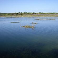
    Lake Mombeong one of the freshwater lakes of Discovery Bay

    Glenelg Estuary and Discovery Bay Ramsar Site

    • Country: 
      Australia
    • Designation date: 
      28-02-2018
    • Site number: 
      2344
    • Published since: 
      5 year(s)
    22,289 ha
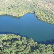
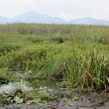
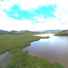
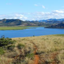
  3. Le lac Sofia
    Habitat à Cyperus dans le lac Sofia
    Habitat à Némuphar dans le lac Sofia
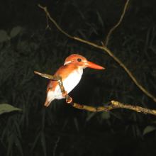
    Turnix nigricollis
    Le lac Sofia
    Le lac Sofia
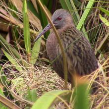
    Rallus madagascariensis
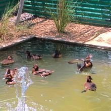
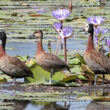
    Dendrocygna viduata

    Lac Sofia

    • Country: 
      Madagascar
    • Designation date: 
      22-05-2017
    • Site number: 
      2301
    • Published since: 
      6 year(s)
    1,650 ha
  4. Tanne rencontré avant les mangroves
    Mangroves de Sahamalaza
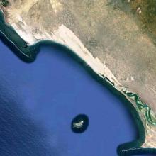
    Baie de Sahamalaza
    Baie de Sahamalaza

    Zones Humides de Sahamalaza

    • Country: 
      Madagascar
    • Designation date: 
      02-02-2017
    • Site number: 
      2288
    • Published since: 
      7 year(s)
    24,049 ha
  5. Forêt sèche en bordure du lac Ravelobe
    Haliaeetus vociferoides
    Lac Ankomakoma
    Lac Antsilomba
    Lac Matsaboribiby
    Lac Ravelobe
    Lac Tsimaloto
    Haliaeetus vociferoides

    Zones Humides Ankarafantsika (CLSA)

    • Country: 
      Madagascar
    • Designation date: 
      02-02-2017
    • Site number: 
      2289
    • Published since: 
      7 year(s)
    33,145 ha
  6. Lac Matsaborimena
    Marécage de Marotaolana
    Lac Andriakanala
    Lac Andriakanala
    Forêt galerie de Bemanevika
    Paysage forestier de Bemanevika
    Formation galerie sur marécage
    Lac Maramarantsalegy
    Aythya inotata
    Elévage en captivité de Aythya inotata
    Gallinula chloropus
    Cyex madagascariensis
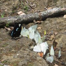
    Papillons de Bemanevkia
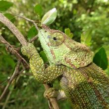
    Calumma hafahafa

    Complexe des Zones Humides de Bemanevika

    • Country: 
      Madagascar
    • Designation date: 
      02-02-2017
    • Site number: 
      2287
    • Published since: 
      7 year(s)
    10,000 ha
  7. Baie de Beheloka
    parcelle 7 et 8
    plage zone de ponte
    plage zone de ponte
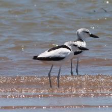
    Dromas adreola
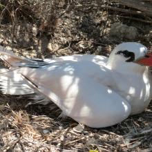
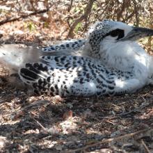
    Phaethon rubricauda
    Phaethon rubricauda
    Sterna bengalensis

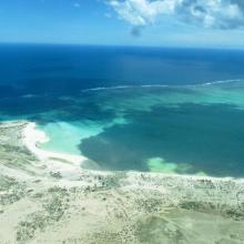
    Barrière de Corail Nosy Ve Androka

    • Country: 
      Madagascar
    • Designation date: 
      02-02-2017
    • Site number: 
      2285
    • Published since: 
      7 year(s)
    91,445 ha
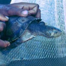
  8. Erymnochelys madagascariensis au lac Kinkony
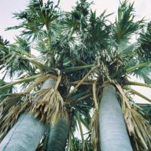
    Borassus madagascariensis, une plante endémique Malagasy a Marandravy, Lac Kinkony

    Lac Kinkony

    • Country: 
      Madagascar
    • Designation date: 
      15-09-2011
    • Site number: 
      2048
    • Published since: 
      3 year(s)
    12,800 ha
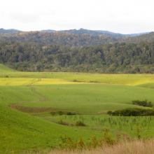
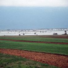
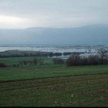
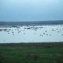
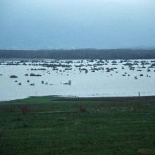
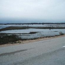
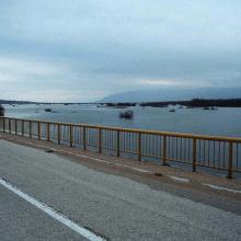
  9. The pastures and meadows flooded on April 17th, 2004, allow an estimate of water level of up to 1,5 m, and form a natural periodic karst lake (flooded area) of 230 km2

Figure 1
Route: Lusnic – Celebic – Donji Kazanci
    Figure 2
Route: Lusnic – Celebic – Donji Kazanci
    Figure 3
Route: Lusnic – Celebic – Donji Kazanci
    Figure 4
Route: Lusnic – Celebic – Donji Kazanci
    Figure 5
Route: Lusnic – Celebic – Donji Kazanci
    Figure 6
Route: Lusnic – Celebic – Donji Kazanci
    Figure 7
Route: Lusnic – Celebic – Donji Kazanci
    Figure 8
Route: Lusnic – Celebic – Donji Kazanci
    Figure 9
Route: Lusnic – Celebic – Donji Kazanci
    Figure 10
Route: Lusnic – Celebic – Donji Kazanci

    Livanjsko Polje

    • Country: 
      Bosnia and Herzegovina
    • Designation date: 
      11-04-2008
    • Site number: 
      1786
    • Published since: 
      16 year(s)
    45,868 ha
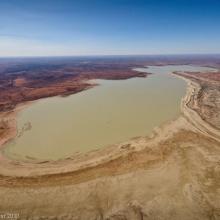
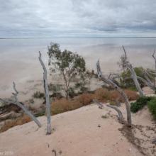
  10. Paroo Mound Spring
    Paroo Mound Spring
    Aerial view of Peery Lake from north to south down western side
    King Charlie Waterhole, Nocoleche Nature Reserve
    Aerial view of Peery Lake
    Peery Lake shoreline

    Paroo River Wetlands

    • Country: 
      Australia
    • Designation date: 
      13-09-2007
    • Site number: 
      1716
    • Published since: 
      1 year(s)
    138,304 ha

Pages

Stats


Exports

Export Sites information

For a summary list of all the Ramsar Sites in pdf format, click here.

Generate reports of selected Sites

You can generate a report based on the filters you have applied, in either pdf or xls format. The report will sort the results by the Site name, unless you have sorted them by another variable.

For the pdfs, you can choose whether to include the introductory text on each Site, or just show the key data in a shorter report.

To receive a report, please provide your email address and enter the text in the verification picture into the textbox.

As soon as the list has been generated an e-mail will be sent to you with the link to access the file.