Search results

Map

Choose map: | | Download Centroids / Boundaries / Map (pdf)
Materials presented on this website, particularly maps and territorial information, are as-is and as-available based on available data and do not imply the expression of any opinion whatsoever on the part of the Secretariat of the Ramsar Convention concerning the legal status of any country, territory, city or area, or of its authorities, or concerning the delimitation of its frontiers or boundaries.

List

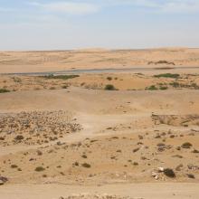
  1. Oued As-Saqia Al Hamra persant le barrage de dunes sableuses
    Oued As-Saqia Al Hamra à l'amont immédiat du barrage de dunes sableuses
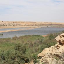
    Oued As-Saqia Al Hamra à l'amont du barrage dunaire _flamants et sarcelles marbrées
    Oued As-Saqia Al Hamra en contact de la ville de La'youne (vue vers l'amont)
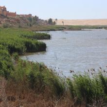
    Oued As-Saqia Al Hamra en contact de la ville de La'youne et végétation émergente (vue vers l'amont)

    Oued Assaquia Al Hamra à La'youne

    • Country: 
      Morocco
    • Designation date: 
      16-04-2019
    • Site number: 
      2382
    • Published since: 
      4 year(s)
    9,500 ha
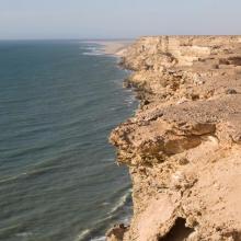
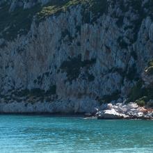
  2. Littoral Aftissate-Boujdour: falaise surplombant directement les eaux océaniques
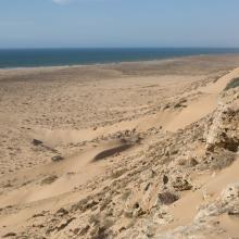
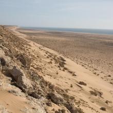
    Littoral Aftissate-Boujdour: diversité des habitats et valeur paysagère (vue vers le Nord)
    Littoral Aftissate-Boujdour: diversité des habitats et valeur paysagère (vue vers le Nord)
    Valeur culturelle du littoral d'Aftissate: tumulus sur le plateau littoral
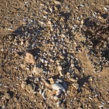
    Valeur culturelle du littoral d'Aftissate: amas coquillier préhistorique sur le plateau littoral

    Côte Aftissate-Boujdour

    • Country: 
      Morocco
    • Designation date: 
      16-04-2019
    • Site number: 
      2377
    • Published since: 
      4 year(s)
    11,700 ha
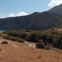
  3. Plage et Falaise de Marsa
    Ripisylve de Oued Marsa
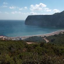
    Falaise de Marsa
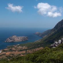
    Îlot Leïla et Cap Leona
    Plage et Village de Marsa
    Plage et Village de Marsa

    Littoral de Jbel Moussa

    • Country: 
      Morocco
    • Designation date: 
      16-04-2019
    • Site number: 
      2381
    • Published since: 
      4 year(s)
    500 ha
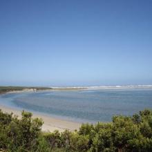
  4. Glenelg River Estuary as viewed from the Beach Road lookout, the opening to the ocean can be seen at far right.
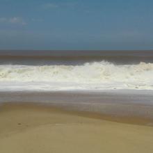
    Coastal dune scrub on the barrier dunes adjacent to Long Swamp and shorebird habitat along the ocean beach.
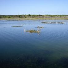
    Lake Mombeong one of the freshwater lakes of Discovery Bay

    Glenelg Estuary and Discovery Bay Ramsar Site

    • Country: 
      Australia
    • Designation date: 
      28-02-2018
    • Site number: 
      2344
    • Published since: 
      5 year(s)
    22,289 ha
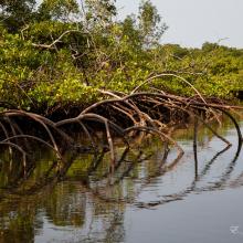
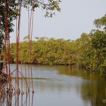
  5. Forêt à mangrove
    Banc de sable marin
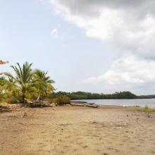
    Rivage  de sable fin
    Lagune de Yombo
    Forêt à raphiales
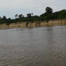
    Fleuve Kouilou
    Forêt à mangrove

    Bas-Kouilou-Yombo

    • Country: 
      Congo
    • Designation date: 
      25-09-2017
    • Site number: 
      2325
    • Published since: 
      6 year(s)
    55,124 ha
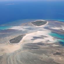
  6. Quelques uns des iles Barren
    La ville de Maintirano
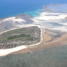
    Iles Barren
    Ile de Maroantaly
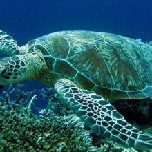
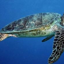
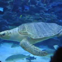
    Caretta caretta
    Chelonia mydas
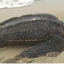
    Dermochelys coriacea
    Eretmochelys imbricata bissa
    Lepidochelys olivacea
    Haliaeetus vociferoides
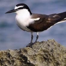
    Sterna anaethetus
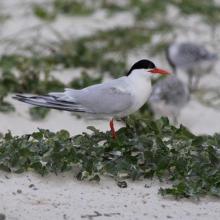
    Sterna dougallii

    Iles Barren

    • Country: 
      Madagascar
    • Designation date: 
      22-05-2017
    • Site number: 
      2303
    • Published since: 
      6 year(s)
    463,200 ha
  7. Conkouati-Douli

    • Country: 
      Congo
    • Designation date: 
      13-12-2007
    • Site number: 
      1741
    • Published since: 
      16 year(s)
    504,950 ha
  8. Lagunes
    Mangroves
    Mangroves
    Océan
    Oiseaux d'eaux

    Parc National Pongara

    • Country: 
      Gabon
    • Designation date: 
      02-02-2007
    • Site number: 
      1653
    • Published since: 
      7 year(s)
    96,302 ha
  9. Parc National d'El Kala
    Parc National d'El Kala
    Parc National d'El Kala
    Parc National d'El Kala
    Parc National d'El Kala
    Parc National d'El Kala

    Réserve Intégrale du Lac El Mellah

    • Country: 
      Algeria
    • Designation date: 
      12-12-2004
    • Site number: 
      1424
    • Published since: 
      6 year(s)
    2,257 ha
  10. x
    x

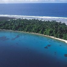
    Jaluit Atoll Conservation Area

    • Country: 
      Marshall Islands
    • Designation date: 
      13-07-2004
    • Site number: 
      1389
    • Published since: 
      19 year(s)
    69,000 ha

Pages

Stats


Exports

Export Sites information

For a summary list of all the Ramsar Sites in pdf format, click here.

Generate reports of selected Sites

You can generate a report based on the filters you have applied, in either pdf or xls format. The report will sort the results by the Site name, unless you have sorted them by another variable.

For the pdfs, you can choose whether to include the introductory text on each Site, or just show the key data in a shorter report.

To receive a report, please provide your email address and enter the text in the verification picture into the textbox.

As soon as the list has been generated an e-mail will be sent to you with the link to access the file.