Search results

Map

Choose map: | | Download Centroids / Boundaries / Map (pdf)
Materials presented on this website, particularly maps and territorial information, are as-is and as-available based on available data and do not imply the expression of any opinion whatsoever on the part of the Secretariat of the Ramsar Convention concerning the legal status of any country, territory, city or area, or of its authorities, or concerning the delimitation of its frontiers or boundaries.

List

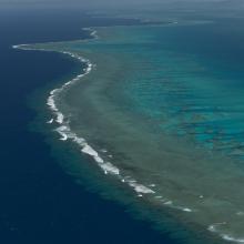
  1. Aerial - the Great Sea Reef from Nadogo, Northern Division.
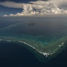
    Aerial - the Great Sea Reef surrounding Kia Island, Northern Division.
    Night time shot of a traditional Fijian bure or homes made with thatched roofs and natural material walls.
    Ligau Village fishermen out at sea fishing.
    Katawaqa Island where turtles nest and are protected.
    Mita from Ligau Levu Village expertly handles a freshly caught live aggressive mudcrab from the mangroves.
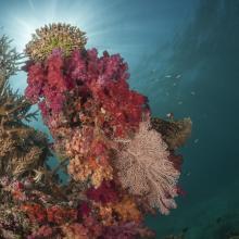
    Soft coral garden, a charming dive site of the Great Sea Reef's marine protected area.
    Turtle monitors (Dau Ni Vonu)  were once turtle hunters who are now using their skills to advocate for the protection of this iconic species
    Snorkeler swims the coral reefs of the Great Sea Reefs.

    Qoliqoli Cokovata

    • Country: 
      Fiji
    • Designation date: 
      16-01-2018
    • Site number: 
      2331
    • Published since: 
      6 year(s)
    134,900 ha
  2. Lame di Fuori Natural Reserve – Massaciuccoli Ramsar Site
    Wintering ducks – Massaciuccoli Ramsar Site
    Massaciuccoli lake and marshland – Massaciuccoli Ramsar Site
    Flooded forest – Massaciuccoli Ramsar Site

    Massaciuccoli lake and marsh

    • Country: 
      Italy
    • Designation date: 
      22-06-2017
    • Site number: 
      2311
    • Published since: 
      6 year(s)
    11,135 ha
  3. Ramsar logo

    Reserva Natural Complejo Endorreico de Puerto Real

    • Country: 
      Spain
    • Designation date: 
      17-09-2009
    • Site number: 
      1915
    • Published since: 
      14 year(s)
    863 ha
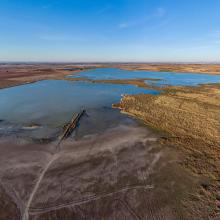
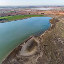
  4. Panorámica de la laguna de El Hito
    Panorámica de la laguna de El Hito en invierno
    Panorámica de la laguna de El Hito en verano
    Empusa pennata en la laguna de El Hito
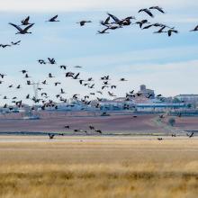
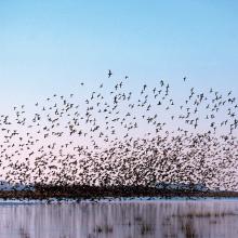
    Bando de grullas sobrevolando la laguna de El Hito
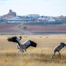
    Grullas con la localidad de El Hito al fondo
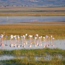
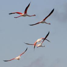
    Grupo de flamencos comunes en laguna de El Hito

    Laguna de El Hito

    • Country: 
      Spain
    • Designation date: 
      20-12-2002
    • Site number: 
      1259
    • Published since: 
      1 year(s)
    573 ha
  5. Ramsar logo

    Fivebough and Tuckerbil Swamps

    • Country: 
      Australia
    • Designation date: 
      21-10-2002
    • Site number: 
      1224
    • Published since: 
      21 year(s)
    689 ha
  6. Marjal de Pego-Oliva. Vista general del desde el norte
    Marjal de Pego-Oliva. Vista general del desde el sur
    Marjal de Pego-Oliva. Detalle de una surgencia de agua subterránea
    Marjal de Pego-Oliva. Laboreo del arrozal

    Marjal de Pego-Oliva

    • Country: 
      Spain
    • Designation date: 
      04-10-1994
    • Site number: 
      708
    • Published since: 
      3 year(s)
    1,255 ha
  7. Panorámica Norte-Sur de la laguna de Manjavacas
    Punta sur de la laguna de Manjavacas
    Juncal salino y comunidad de castañuela en la laguna de Manjavacas
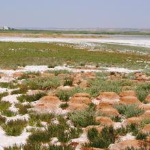
    Pastizal halófilo en la orla perimetral de la laguna de Manjavacas
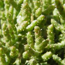
    Salicornia ramosissima en flor en la laguna de Manjavacas
    Colonia reproductora de flamenco común en la laguna de Manjavacas en el año 2011
    Nidos de flamenco común en la laguna de Manjavacas en el año 2011
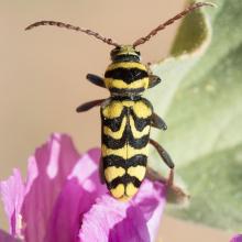
    Escarabajo avispa (Plagionotus andreui) en su planta nutricia Lavatera triloba en la laguna de Manjavacas

    Laguna de Manjavacas

    • Country: 
      Spain
    • Designation date: 
      10-09-1993
    • Site number: 
      594
    • Published since: 
      1 year(s)
    236 ha
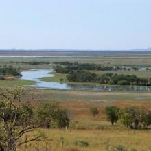
  8. Parry Lagoons
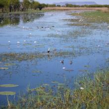
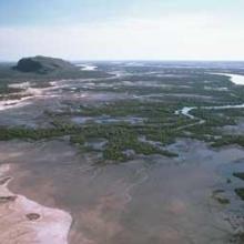
    Ord River Floodplain
    False Mouths of the Ord

    Ord River Floodplain

    • Country: 
      Australia
    • Designation date: 
      07-06-1990
    • Site number: 
      477
    • Published since: 
      6 year(s)
    140,766 ha
  9. Salinas de Santa Pola. Vista aérea
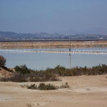
    Salinas de Santa Pola. Cristalizador (laguna rosa)
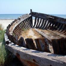
    Salinas de Santa Pola. Barca en la playa
    Salinas de Santa Pola. Itinerario de las dunas del Pinet
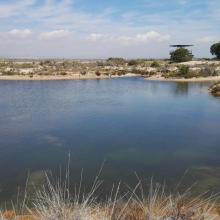
    Salinas de Santa Pola. Laguna en la zona dunar del Pinet
    Salinas de Santa Pola. Flamencos en vuelo
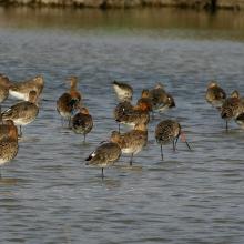
    Salinas de Santa Pola Agujas colipintas en paso.
    Salinas de Santa Pola Detalle de Limonium cesium

    Salinas de Santa Pola

    • Country: 
      Spain
    • Designation date: 
      05-12-1989
    • Site number: 
      457
    • Published since: 
      3 year(s)
    2,491 ha
  10. Lagunas de La Mata y Torrevieja. Flamencos en la laguna de La Mata
    Lagunas de La Mata y Torrevieja. Panorámica de la laguna de La Mata
    Lagunas de La Mata y Torrevieja. Colonia de Audouinii en la laguna de Torrevieja
    Lagunas de La Mata y Torrevieja. Canal para el trasvase de salmueras “Casa de Máquinas”

    Lagunas de La Mata y Torrevieja

    • Country: 
      Spain
    • Designation date: 
      05-12-1989
    • Site number: 
      456
    • Published since: 
      3 year(s)
    3,717 ha

Stats


Exports

Export Sites information

For a summary list of all the Ramsar Sites in pdf format, click here.

Generate reports of selected Sites

You can generate a report based on the filters you have applied, in either pdf or xls format. The report will sort the results by the Site name, unless you have sorted them by another variable.

For the pdfs, you can choose whether to include the introductory text on each Site, or just show the key data in a shorter report.

To receive a report, please provide your email address and enter the text in the verification picture into the textbox.

As soon as the list has been generated an e-mail will be sent to you with the link to access the file.