Search results

Map

Choose map: | | Download Centroids / Boundaries / Map (pdf)
Materials presented on this website, particularly maps and territorial information, are as-is and as-available based on available data and do not imply the expression of any opinion whatsoever on the part of the Secretariat of the Ramsar Convention concerning the legal status of any country, territory, city or area, or of its authorities, or concerning the delimitation of its frontiers or boundaries.

List

  1. Ave Eudocimus albus presente en la ciénega de San Juan al norte del sitio Ramsar
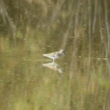
    Ave Calidris minutilla en laguna intermitente Casa Colorada
    Ave Calidris minutilla en laguna intermitente Casa Colorada
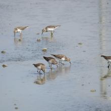
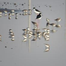
    Ave Calidris himantopus en laguna intermitente Casa Colorada
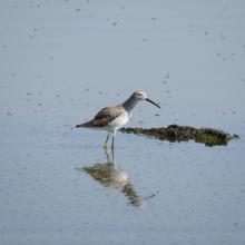
    Ave Limodromus griseus y Calidris minutilla
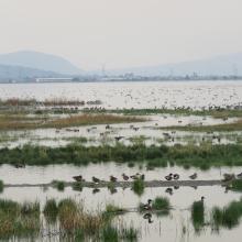
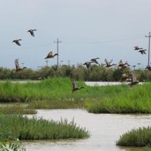
    Aves en el Lago Artificial Nabor Carrillo
    Ave 
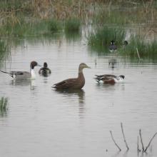
 y Anas acuta en el Lago Artificial Nabor Carrillo
    Ciénega Intermitente
    Aves Anas diazi en Ciénega Intermitente
    Ave Cynathus auriceps en Ciénega Intermitente Texcoco Norte
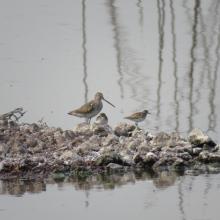
    Ave Himantopus mexicanus y Calidris minutilla en Ciénega Casa Colorada

    Lago de Texcoco

    • Country: 
      Mexico
    • Designation date: 
      05-06-2022
    • Site number: 
      2469
    • Published since: 
      1 year(s)
    10,077 ha
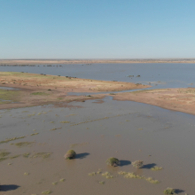
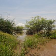
  2. Shirkela Maya
    As Selea Maya

    Khor Abu Habil Inner Delta

    • Country: 
      Sudan
    • Designation date: 
      10-04-2022
    • Site number: 
      2485
    • Published since: 
      1 year(s)
    946,409 ha
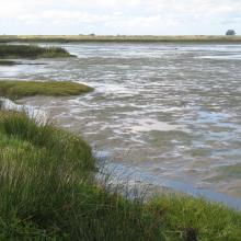
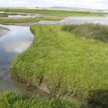
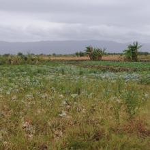
  3. Lower Berg River Estuary
    Salt marshes - Berg River Estuary
    Lower reaches Berg River Estuary
    Upstream of salt works

    Berg Estuary Ramsar Site

    • Country: 
      South Africa
    • Designation date: 
      01-02-2022
    • Site number: 
      2466
    • Published since: 
      2 year(s)
    1,163 ha
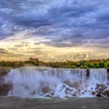
  4. Kayaking on the Lower Niagara River
    Niagara river corridor
    Gorgeous morning over America falls

    Niagara River Corridor

    • Country: 
      United States of America
    • Designation date: 
      03-10-2019
    • Site number: 
      2402
    • Published since: 
      4 year(s)
    5,248 ha
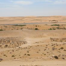
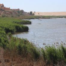
  5. Oued As-Saqia Al Hamra persant le barrage de dunes sableuses
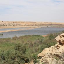
    Oued As-Saqia Al Hamra à l'amont immédiat du barrage de dunes sableuses
    Oued As-Saqia Al Hamra à l'amont du barrage dunaire _flamants et sarcelles marbrées
    Oued As-Saqia Al Hamra en contact de la ville de La'youne (vue vers l'amont)
    Oued As-Saqia Al Hamra en contact de la ville de La'youne et végétation émergente (vue vers l'amont)

    Oued Assaquia Al Hamra à La'youne

    • Country: 
      Morocco
    • Designation date: 
      16-04-2019
    • Site number: 
      2382
    • Published since: 
      4 year(s)
    9,500 ha
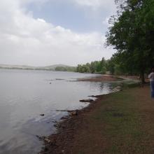
  6. Dayet Awwa en eau (submersion subtotale)
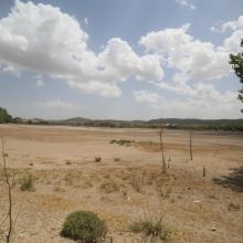
    Dayet Awwa à sec (secteur amont/ouest)
    Dayet Hachlaf en eau (submersion moyenne)
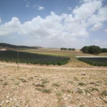
    Dayet Hachlaf à sec (avec cultures sous-serre)
    Dayet Hachlaf à sec_Vue panoramique
    Dayet Ifrah asséché
    Dayet Ifrah en eau (submesrion quasitotale)

    Lacs d'Imouzzer du Kandar

    • Country: 
      Morocco
    • Designation date: 
      16-04-2019
    • Site number: 
      2374
    • Published since: 
      4 year(s)
    512 ha
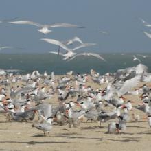
  7. REPRODUCTION DES STERNES CASPIENNES
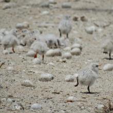
    POUSSINS DE STERNES ROYALES
    FEMMES EN ACTIVITES DE RAMASSAGES DES ARCHES DANS LES VASES DE LA ROK
    REPRODUCTION DES STERNES CASPIENNES DANS LA ROK

    Kalissaye

    • Country: 
      Senegal
    • Designation date: 
      01-09-2017
    • Site number: 
      2326
    • Published since: 
      6 year(s)
    30,014 ha
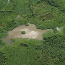
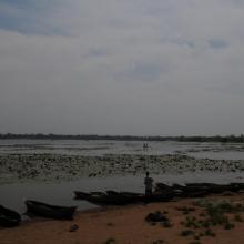
  8. Skyview of Lake
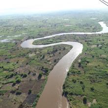
    Skyview of River
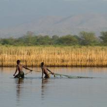
    Fishers backwater in northern marsh
    Main channel in northern marsh
    Edge vegetation
    Agriculture land western marsh
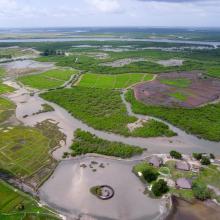
    Open water area and fish landing site

    Elephant Marsh

    • Country: 
      Malawi
    • Designation date: 
      01-07-2017
    • Site number: 
      2308
    • Published since: 
      6 year(s)
    61,556 ha
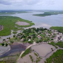
  9. vue aerienne de PNTC
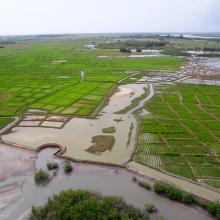
    vue aerienne de PNTC
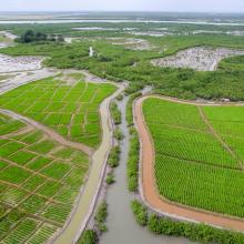
    vue aerienne de PNTC
    vue aerienne de PNTC
    vue aerienne de PNTC
    vue aerienne de PNTC
    vue aerienne de PNTC

    Parc Naturel des Mangroves du Fleuve Cacheu (PNTC)

    • Country: 
      Guinea-Bissau
    • Designation date: 
      22-05-2015
    • Site number: 
      2229
    • Published since: 
      8 year(s)
    88,615 ha
  10. Ramsar logo

    Humedales de la Laguna La Cruz

    • Country: 
      Mexico
    • Designation date: 
      02-02-2013
    • Site number: 
      2154
    • Published since: 
      11 year(s)
    6,665 ha

Pages

Stats


Exports

Export Sites information

For a summary list of all the Ramsar Sites in pdf format, click here.

Generate reports of selected Sites

You can generate a report based on the filters you have applied, in either pdf or xls format. The report will sort the results by the Site name, unless you have sorted them by another variable.

For the pdfs, you can choose whether to include the introductory text on each Site, or just show the key data in a shorter report.

To receive a report, please provide your email address and enter the text in the verification picture into the textbox.

As soon as the list has been generated an e-mail will be sent to you with the link to access the file.