Search results

Map

Choose map: | | Download Centroids / Boundaries / Map (pdf)
Materials presented on this website, particularly maps and territorial information, are as-is and as-available based on available data and do not imply the expression of any opinion whatsoever on the part of the Secretariat of the Ramsar Convention concerning the legal status of any country, territory, city or area, or of its authorities, or concerning the delimitation of its frontiers or boundaries.

List

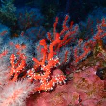
  1. Habitat coralligène à Corail rouge Corallium rubrum
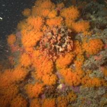
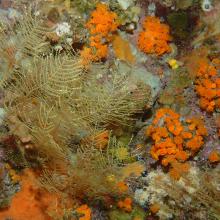
    Paysage coralligène avec Corail orange Astroides calcycularis et hydrozoaires
    Paramuricea clavata
    Paysage coralligène dans la partie marine de Jbel Moussa
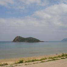
    Îlot Leila
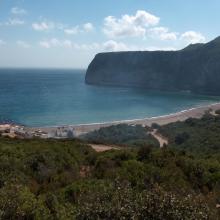
    Cap Cirres
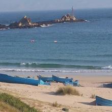
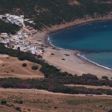
    Plage Marsa
    Plage Marsa
    Plage Dahlia & Cap Cirres.
    Plage Dahlia
    Îlot Leila
    Plage Marsa
    Corail orange Astroides calycularis
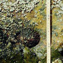
    Patella ferruginea
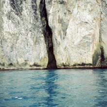
    Grotte marine
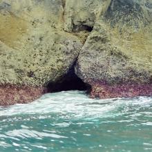
    Grotte marine
    Grotte marine
    Vue panoramique de l'Ilôt de Cala Iris
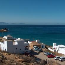
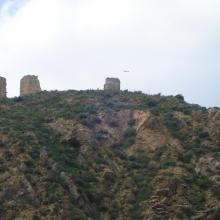
    Tours Torres
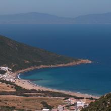
    Paysage du littoral marin à l'extrémité orientale du Parc

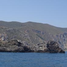
    Côte des Bokkoyas

    • Country: 
      Morocco
    • Designation date: 
      16-04-2019
    • Site number: 
      2379
    • Published since: 
      4 year(s)
    5,530 ha
  2. Canal Chamber
    Espejo de Agua de la Laguna de Alvarado
    Laguna de alvarado
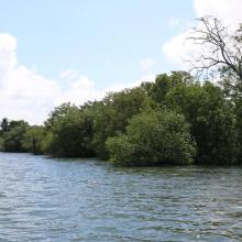
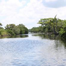
    Canal Chamber, Laguna de Alvarado
    Laguna de Alvarado
    Laguna de Alvarado
    Laguna de Alvarado
    Laguna de Alvarado vista aérea

    Sistema de Humedal Laguna de Alvarado

    • Country: 
      Honduras
    • Designation date: 
      02-02-2019
    • Site number: 
      2418
    • Published since: 
      4 year(s)
    13,846 ha
  3. Aerial view of the Parado Lagoon, Guaratuba Environmental Protection Area, Paraná state, Brazil. Photo: Roberto Bóçon.

    Guaratuba

    • Country: 
      Brazil
    • Designation date: 
      21-09-2017
    • Site number: 
      2317
    • Published since: 
      6 year(s)
    38,329 ha
  4. Instituto Chico Mendes de Conservação da Biodiversidade

    Environmental Protection Area of Cananéia-Iguape-Peruíbe

    • Country: 
      Brazil
    • Designation date: 
      04-09-2017
    • Site number: 
      2310
    • Published since: 
      6 year(s)
    202,307 ha
  5. Lido et étang de Salses-Leucate
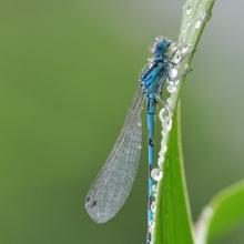
    Agrion de Mercure
    Résurgence de Font Estramar
    Pêche petits métiers
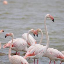
    Flamants roses
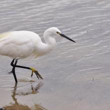
    Aigrette

    Etang de Salses-Leucate

    • Country: 
      France
    • Designation date: 
      30-06-2017
    • Site number: 
      2307
    • Published since: 
      6 year(s)
    7,637 ha
  6. Ramsar logo

    Con Dao National Park

    • Country: 
      Viet Nam
    • Designation date: 
      18-06-2013
    • Site number: 
      2203
    • Published since: 
      10 year(s)
    19,991 ha
  7. Lundeura (the steep scree where the puffins nest)
    Lovund

    Lovund/Lundeura

    • Country: 
      Norway
    • Designation date: 
      27-05-2013
    • Site number: 
      2161
    • Published since: 
      6 year(s)
    153 ha
  8. Ramsar logo

    Rawa Aopa Watumohai National Park

    • Country: 
      Indonesia
    • Designation date: 
      06-03-2011
    • Site number: 
      1944
    • Published since: 
      13 year(s)
    105,194 ha
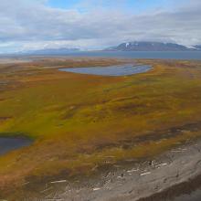
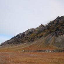
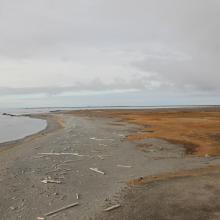
  9. Sørkappøya
    Sørkappøya
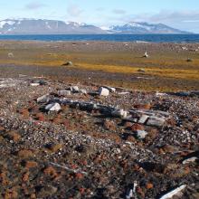
    Mosvatnet, Sørkappøya. Remains from a Russian trappers station
    Sørkappøya
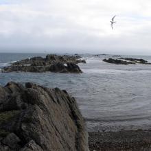
    The lagoon at Sørkappøya with the purple sandpiper
    Sørkappøya
    Sørkappøya
    Sørkappøya

    Sørkapp

    • Country: 
      Norway
    • Designation date: 
      12-11-2010
    • Site number: 
      1965
    • Published since: 
      5 year(s)
    55,203 ha
  10. The bird cliff at Vårsolbukta
    Vårsolbukta
    Gravsjøen
    Kapp Martin
    Nordenskioldkysten in February
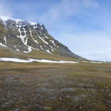
    Grønsteinodden at Nordenskioldkysten
    Migrating Northern fulmars at Revleodden in February
    Kapp Bjørset in February
    Marvågen with Protektorfjellet in the background

    Nordenskiöldkysten

    • Country: 
      Norway
    • Designation date: 
      12-11-2010
    • Site number: 
      1968
    • Published since: 
      5 year(s)
    42,992 ha

Pages

Stats


Exports

Export Sites information

For a summary list of all the Ramsar Sites in pdf format, click here.

Generate reports of selected Sites

You can generate a report based on the filters you have applied, in either pdf or xls format. The report will sort the results by the Site name, unless you have sorted them by another variable.

For the pdfs, you can choose whether to include the introductory text on each Site, or just show the key data in a shorter report.

To receive a report, please provide your email address and enter the text in the verification picture into the textbox.

As soon as the list has been generated an e-mail will be sent to you with the link to access the file.