Search results

Map

Choose map: | | Download Centroids / Boundaries / Map (pdf)
Materials presented on this website, particularly maps and territorial information, are as-is and as-available based on available data and do not imply the expression of any opinion whatsoever on the part of the Secretariat of the Ramsar Convention concerning the legal status of any country, territory, city or area, or of its authorities, or concerning the delimitation of its frontiers or boundaries.

List

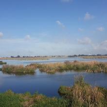
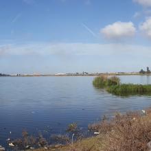
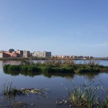
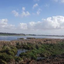
  1. Sitio Ramsar Limarí: Desembocadura Rio Limarí, desde Salala hasta su desembocadura, Región de Coquimbo, Chile. Vista de la amplitud del humedal, sus usos tradicionales y el contraste con su entorno semidesertico

    Humedal del río Limarí, desde Salala hasta su desembocadura

    • Country: 
      Chile
    • Designation date: 
      21-07-2020
    • Site number: 
      2424
    • Published since: 
      3 year(s)
    527 ha
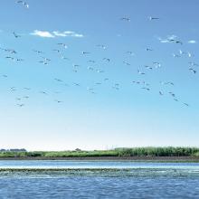
  2. Gulls
    Inland deltas
    Swamps

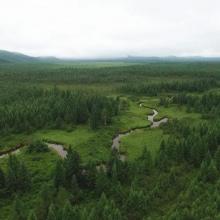
    Heilongjiang Hadong Yanjiang Wetlands

    • Country: 
      China
    • Designation date: 
      03-02-2020
    • Site number: 
      2428
    • Published since: 
      3 year(s)
    9,974 ha
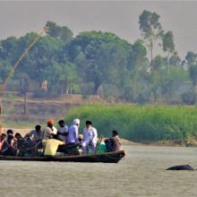
  3. Indus River Dolphin following country boat at Karmowala village.
    Indus River Dolphin at Mundapind village.
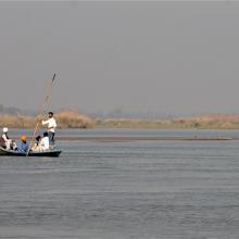
    Riparian community crossing river Beas near village Kapoora.
    Flock of Bar-headed Geese in River Beas
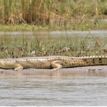
    Gharial basking on a mid channel island near River Beas.

    Beas Conservation Reserve

    • Country: 
      India
    • Designation date: 
      26-09-2019
    • Site number: 
      2408
    • Published since: 
      4 year(s)
    6,429 ha
  4. Lower Songkram River
    Fish of Songkhram River
    Lower Songkram River
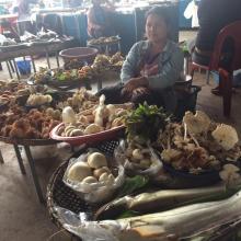
    Fish from Songkhram river at the local marketplace.
    Fish from Songkhram river at the local marketplace.
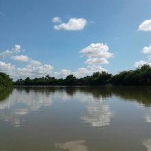
    Lower Songkram river.
    Lower Songkram river.
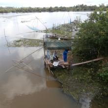
    Life of locals at the river.
    Life of locals at the river.
    Life of locals at the river.
    flooded forest of Songkram river.
    Lower Songkram river.

    Lower Songkhram River

    • Country: 
      Thailand
    • Designation date: 
      15-05-2019
    • Site number: 
      2420
    • Published since: 
      4 year(s)
    5,505 ha
  5. A C
    A C
    A C
    A C
    A C
    A C

    Assifs Réghaya-Aït Mizane

    • Country: 
      Morocco
    • Designation date: 
      16-04-2019
    • Site number: 
      2371
    • Published since: 
      4 year(s)
    830 ha
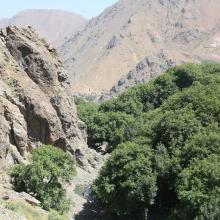
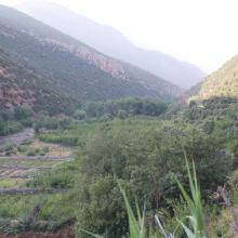
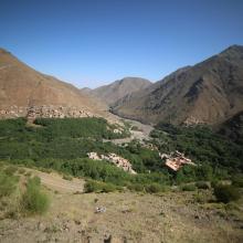
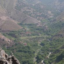
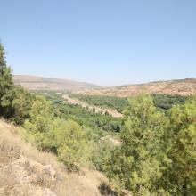
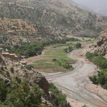
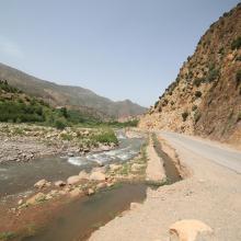
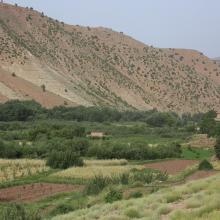
  6. Oued Lakhdar : cultures irriguées en plein lit majeur de la rivière
    Assif Aït Bou Guemmaz : exemple de résurgence froide aménagée (canalisée)
    Assif Aït Bou Guemmaz à Tabant, loin en aval de ses sources
    Assif Aït Bou Guemmaz : Bâti rural et Arboriculture traditionnels
    Lac temporaire d'Izourar : pelouse de montagne, à l'amont de l'Assif des Aït Bou Guemmaz

    Haut Oued Lakhdar

    • Country: 
      Morocco
    • Designation date: 
      16-04-2019
    • Site number: 
      2372
    • Published since: 
      4 year(s)
    2,200 ha
  7. Fabio Chicuta
    Fabio Chicuta
    Fabio Chicuta
    Fabio Chicuta
    Fabio Chicuta

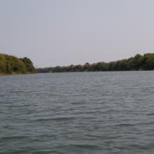
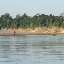
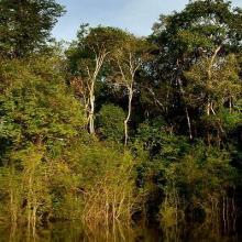
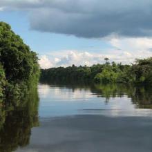
    Rio Juruá

    • Country: 
      Brazil
    • Designation date: 
      29-09-2018
    • Site number: 
      2362
    • Published since: 
      2 year(s)
    2,136,489 ha
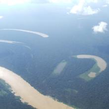
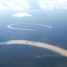
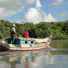
  8. ICMBio
    ICMBio
    ICMBio
    Helder Lana
    ICMBio

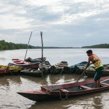
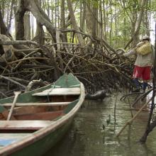
    Amazon Estuary and its Mangroves

    • Country: 
      Brazil
    • Designation date: 
      19-03-2018
    • Site number: 
      2337
    • Published since: 
      5 year(s)
    3,850,253 ha
  9. Merja Fouwarate
    Merja Fouwarate
    Merja Fouwarate
    Merja Fouwarate
    Merja Fouwarate
    Merja Fouwarate

    Merja de Fouwarate

    • Country: 
      Morocco
    • Designation date: 
      12-01-2018
    • Site number: 
      2324
    • Published since: 
      6 year(s)
    502 ha
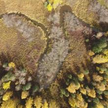
  10. Autumn landscape of Hani Wetland
    Catchment area of Hani Wetland
    Summer landscape of Hani Wetland

    Jilin Hani Wetlands

    • Country: 
      China
    • Designation date: 
      08-01-2018
    • Site number: 
      2350
    • Published since: 
      5 year(s)
    3,572 ha

Pages

Stats


Exports

Export Sites information

For a summary list of all the Ramsar Sites in pdf format, click here.

Generate reports of selected Sites

You can generate a report based on the filters you have applied, in either pdf or xls format. The report will sort the results by the Site name, unless you have sorted them by another variable.

For the pdfs, you can choose whether to include the introductory text on each Site, or just show the key data in a shorter report.

To receive a report, please provide your email address and enter the text in the verification picture into the textbox.

As soon as the list has been generated an e-mail will be sent to you with the link to access the file.