Search results

Map

Choose map: | | Download Centroids / Boundaries / Map (pdf)
Materials presented on this website, particularly maps and territorial information, are as-is and as-available based on available data and do not imply the expression of any opinion whatsoever on the part of the Secretariat of the Ramsar Convention concerning the legal status of any country, territory, city or area, or of its authorities, or concerning the delimitation of its frontiers or boundaries.

List

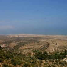
  1. Dunes vives au nord de Tamri
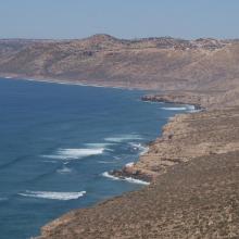
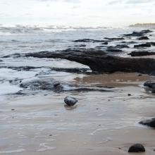
    Falaises littorales au Nord d’Imsouane
    Zone littorale de Tildi
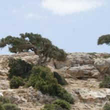
    Arganiers en drapeaux dans le col de Taboga
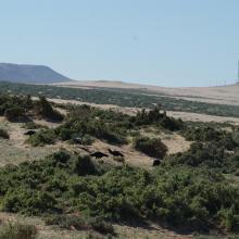
    Aire de gagnage de l'Ibis chauve : steppe littorale près de Tamri
    Aire de gagnage de l'Ibis chauve : steppe littorale près de Tamri
    Grottes de Cap Ghir
    Arganeraie et végétation macaronésienne à Euphorbes
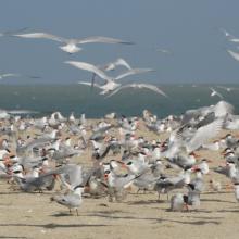
    Stationnement hivernal de milliers de Laridés sur la 'plage' de Tamri

    Cap Ghir-Imsouane

    • Country: 
      Morocco
    • Designation date: 
      16-04-2019
    • Site number: 
      2373
    • Published since: 
      4 year(s)
    6,800 ha
  2. REPRODUCTION DES STERNES CASPIENNES
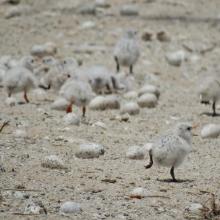
    POUSSINS DE STERNES ROYALES
    FEMMES EN ACTIVITES DE RAMASSAGES DES ARCHES DANS LES VASES DE LA ROK
    REPRODUCTION DES STERNES CASPIENNES DANS LA ROK

    Kalissaye

    • Country: 
      Senegal
    • Designation date: 
      01-09-2017
    • Site number: 
      2326
    • Published since: 
      6 year(s)
    30,014 ha
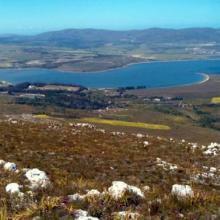
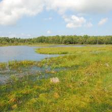
  3. Panoramic of Bot/Kleinmond Estuarine System
    Bot/Kleinmond Estuarine System
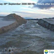
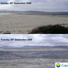
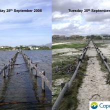
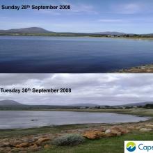
     images of breaching of the Bot River Estuary including pre and post breaching.
    Images of breaching of the Bot River Estuary including pre and post breaching.
    Images of breaching of the Bot River Estuary including pre and post breaching.
    Images of breaching of the Bot River Estuary including pre and post breaching.
    Images of breaching of the Bot River Estuary including pre and post breaching.
    Images of breaching of the Bot River Estuary including pre and post breaching.

    Bot - Kleinmond Estuarine System

    • Country: 
      South Africa
    • Designation date: 
      31-01-2017
    • Site number: 
      2291
    • Published since: 
      7 year(s)
    1,350 ha
  4. Ramsar logo

    San Francisco Bay/Estuary (SFBE)

    • Country: 
      United States of America
    • Designation date: 
      02-02-2013
    • Site number: 
      2097
    • Published since: 
      11 year(s)
    158,711 ha
  5. Ramsar logo

    Rufiji-Mafia-Kilwa Marine Ramsar Site

    • Country: 
      United Republic of Tanzania
    • Designation date: 
      29-10-2004
    • Site number: 
      1443
    • Published since: 
      19 year(s)
    596,908 ha
  6. American Flamingos (Phoenicopterus ruber) congregating in shallow areas of the lagoon in Ría Celestún, one of their main resting and feeding habitats in the Yucatan Peninsula. Boats approach the flamingos to a certain extent in order not to scare them away.
    A colony of Magnificent frigatebirds Fregata magnificens on the red mangrove forests (Rhizophora mangle).
    Inside the Red Mangrove Forests. The lagoon itself acquires the red colors given by the mangrove tannins.
    An island of high rise forests (Peten) amidst the mangrove, due to the presence of a freshwater spring typically called "ojo de agua".
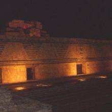
    The light show in the ruins of Uxmal, where Mayan legends were narrated praying for rain.

    Reserva de la Biosfera Ría Celestún

    • Country: 
      Mexico
    • Designation date: 
      02-02-2004
    • Site number: 
      1333
    • Published since: 
      20 year(s)
    81,482 ha
  7. Ramsar logo

    Great Sandy Strait

    • Country: 
      Australia
    • Designation date: 
      14-06-1999
    • Site number: 
      992
    • Published since: 
      24 year(s)
    93,160 ha
  8. Ramsar logo

    Humedales del Delta del Río Colorado

    • Country: 
      Mexico
    • Designation date: 
      20-03-1996
    • Site number: 
      814
    • Published since: 
      23 year(s)
    250,000 ha
  9. Corio Bay
    Shoalwater

    Shoalwater and Corio Bays Area

    • Country: 
      Australia
    • Designation date: 
      01-03-1996
    • Site number: 
      792
    • Published since: 
      5 year(s)
    202,023 ha
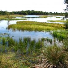
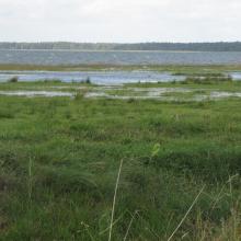
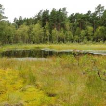
  10. Peatbog buried by dune
    Bulrush in Gardno Lake
    Alder forest
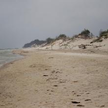
    Sea coastal waters
    Peatbog
    Gardno Lake
    Gardno Lake
    Sea coastal waters
    Peatbog buried by dune
    Peatbog
    Peatbog
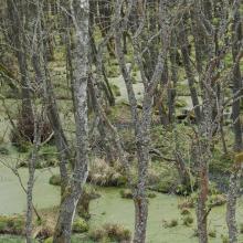
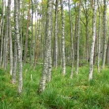
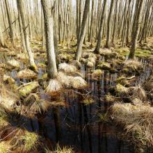
    Wet forest
    bog woodland
    Vaccinio uliginosi-Betuletum pubescentis
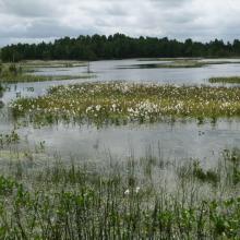
    Peatland regenerating after peat extraction
    Peatland regenerating after peat extraction
    Salt marshes
    Sea coastal waters
    Peatbog Krakulice
    Peatbog Krakulice
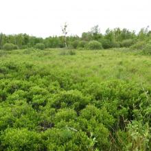
    Shrubs with bog-myrtle
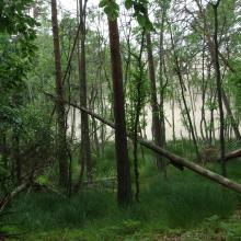
    Alder forest buried by dune

    Słowiński National Park

    • Country: 
      Poland
    • Designation date: 
      24-10-1995
    • Site number: 
      757
    • Published since: 
      5 year(s)
    32,744 ha

Pages

Stats


Exports

Export Sites information

For a summary list of all the Ramsar Sites in pdf format, click here.

Generate reports of selected Sites

You can generate a report based on the filters you have applied, in either pdf or xls format. The report will sort the results by the Site name, unless you have sorted them by another variable.

For the pdfs, you can choose whether to include the introductory text on each Site, or just show the key data in a shorter report.

To receive a report, please provide your email address and enter the text in the verification picture into the textbox.

As soon as the list has been generated an e-mail will be sent to you with the link to access the file.