Search results

Map

Choose map: | | Download Centroids / Boundaries / Map (pdf)
Materials presented on this website, particularly maps and territorial information, are as-is and as-available based on available data and do not imply the expression of any opinion whatsoever on the part of the Secretariat of the Ramsar Convention concerning the legal status of any country, territory, city or area, or of its authorities, or concerning the delimitation of its frontiers or boundaries.

List

  1. Laguna Salada, en los Conucos de Montecristi, presencia d especies de anatidas y playeros.
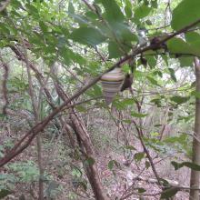
    Presencia de la especie de Liguus virgineus, en la parte terrestre de la Laguna Saladilla.
    Vista del Morro, esta forma es lo que da nombre al P.N el Morro.
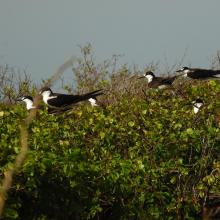
    Individuos de Ornychoprion fuscatus en Cayo Tuna, Montecristi.
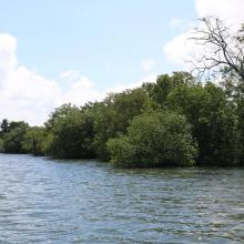
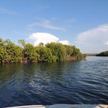
    Manglares en los Caños de Montecristi
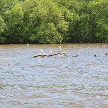
    Especies de Pelecanus occidentalis

    Los Humedales de Montecristi y la Línea Noroeste

    • Country: 
      Dominican Republic
    • Designation date: 
      13-10-2022
    • Site number: 
      2497
    • Published since: 
      1 year(s)
    84,322 ha
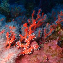
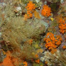
  2. Habitat coralligène à Corail rouge Corallium rubrum
    Paysage coralligène avec Corail orange Astroides calcycularis et hydrozoaires
    Paramuricea clavata
    Paysage coralligène dans la partie marine de Jbel Moussa
    Îlot Leila
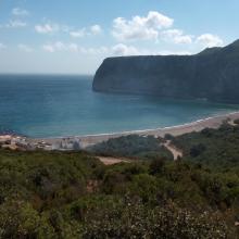
    Cap Cirres
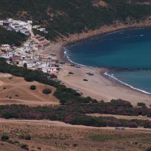
    Plage Marsa
    Plage Marsa
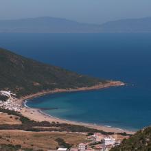
    Plage Dahlia & Cap Cirres.
    Plage Dahlia
    Îlot Leila
    Plage Marsa
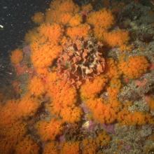
    Corail orange Astroides calycularis
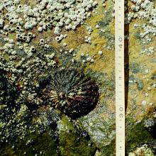
    Patella ferruginea
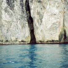
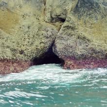
    Grotte marine
    Grotte marine
    Grotte marine
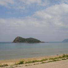
    Vue panoramique de l'Ilôt de Cala Iris
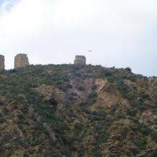
    Tours Torres
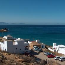
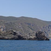
    Paysage du littoral marin à l'extrémité orientale du Parc

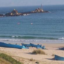
    Côte des Bokkoyas

    • Country: 
      Morocco
    • Designation date: 
      16-04-2019
    • Site number: 
      2379
    • Published since: 
      4 year(s)
    5,530 ha
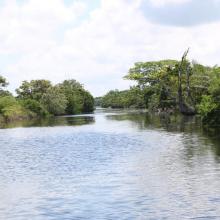
  3. Canal Chamber
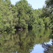
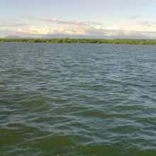
    Espejo de Agua de la Laguna de Alvarado
    Laguna de alvarado
    Canal Chamber, Laguna de Alvarado
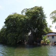
    Laguna de Alvarado
    Laguna de Alvarado
    Laguna de Alvarado
    Laguna de Alvarado vista aérea

    Sistema de Humedal Laguna de Alvarado

    • Country: 
      Honduras
    • Designation date: 
      02-02-2019
    • Site number: 
      2418
    • Published since: 
      4 year(s)
    13,846 ha
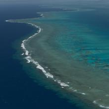
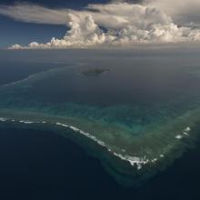
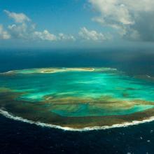
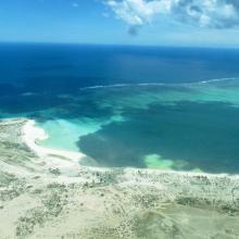
  4. Aerial - the Great Sea Reef from Nadogo, Northern Division.
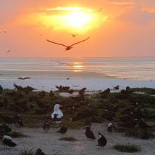
    Aerial - the Great Sea Reef surrounding Kia Island, Northern Division.
    Night time shot of a traditional Fijian bure or homes made with thatched roofs and natural material walls.
    Ligau Village fishermen out at sea fishing.
    Katawaqa Island where turtles nest and are protected.
    Mita from Ligau Levu Village expertly handles a freshly caught live aggressive mudcrab from the mangroves.
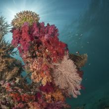
    Soft coral garden, a charming dive site of the Great Sea Reef's marine protected area.
    Turtle monitors (Dau Ni Vonu)  were once turtle hunters who are now using their skills to advocate for the protection of this iconic species
    Snorkeler swims the coral reefs of the Great Sea Reefs.

    Qoliqoli Cokovata

    • Country: 
      Fiji
    • Designation date: 
      16-01-2018
    • Site number: 
      2331
    • Published since: 
      6 year(s)
    134,900 ha
  5. Tanne rencontré avant les mangroves
    Mangroves de Sahamalaza
    Baie de Sahamalaza
    Baie de Sahamalaza

    Zones Humides de Sahamalaza

    • Country: 
      Madagascar
    • Designation date: 
      02-02-2017
    • Site number: 
      2288
    • Published since: 
      7 year(s)
    24,049 ha
  6. Baie de Beheloka
    parcelle 7 et 8
    plage zone de ponte
    plage zone de ponte
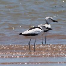
    Dromas adreola
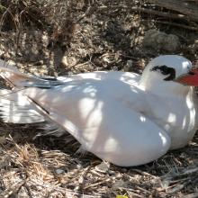
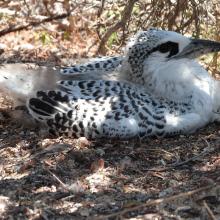
    Phaethon rubricauda
    Phaethon rubricauda
    Sterna bengalensis

    Barrière de Corail Nosy Ve Androka

    • Country: 
      Madagascar
    • Designation date: 
      02-02-2017
    • Site number: 
      2285
    • Published since: 
      7 year(s)
    91,445 ha
  7. Atol das Rocas Biological Reserve
    Atol das Rocas Biological Reserve
    Atol das Rocas Biological Reserve
    Atol das Rocas Biological Reserve

    Atol das Rocas Biological Reserve

    • Country: 
      Brazil
    • Designation date: 
      11-12-2015
    • Site number: 
      2259
    • Published since: 
      8 year(s)
    35,186 ha
  8. Ramsar logo

    Ko Kra Archipelago

    • Country: 
      Thailand
    • Designation date: 
      12-08-2013
    • Site number: 
      2152
    • Published since: 
      10 year(s)
    374 ha
  9. Ramsar logo

    Ko Ra-Ko Phra Thong Archipelago

    • Country: 
      Thailand
    • Designation date: 
      12-08-2013
    • Site number: 
      2153
    • Published since: 
      10 year(s)
    19,648 ha
  10. Ramsar logo

    Con Dao National Park

    • Country: 
      Viet Nam
    • Designation date: 
      18-06-2013
    • Site number: 
      2203
    • Published since: 
      10 year(s)
    19,991 ha

Pages

Stats


Exports

Export Sites information

For a summary list of all the Ramsar Sites in pdf format, click here.

Generate reports of selected Sites

You can generate a report based on the filters you have applied, in either pdf or xls format. The report will sort the results by the Site name, unless you have sorted them by another variable.

For the pdfs, you can choose whether to include the introductory text on each Site, or just show the key data in a shorter report.

To receive a report, please provide your email address and enter the text in the verification picture into the textbox.

As soon as the list has been generated an e-mail will be sent to you with the link to access the file.