Search results

Map

Choose map: | | Download Centroids / Boundaries / Map (pdf)
Materials presented on this website, particularly maps and territorial information, are as-is and as-available based on available data and do not imply the expression of any opinion whatsoever on the part of the Secretariat of the Ramsar Convention concerning the legal status of any country, territory, city or area, or of its authorities, or concerning the delimitation of its frontiers or boundaries.

List

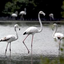
  1. He was the winner of best photo for site area, during competition held by Municipality
    Waleed was responsible for the Ramsar Site in 2012

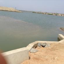
    Al-Zora Protected Area

    • Country: 
      United Arab Emirates
    • Designation date: 
      27-09-2016
    • Site number: 
      2309
    • Published since: 
      6 year(s)
    195 ha
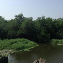
  2. Forêt à mangrove
    Banc de sable marin
    Rivage  de sable fin
    Lagune de Yombo
    Forêt à raphiales
    Fleuve Kouilou
    Forêt à mangrove

    Bas-Kouilou-Yombo

    • Country: 
      Congo
    • Designation date: 
      25-09-2017
    • Site number: 
      2325
    • Published since: 
      6 year(s)
    55,124 ha
  3. View of Bujagh-Caspian sea
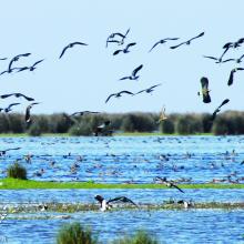
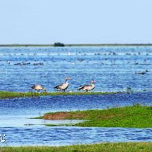
    Flock of Vanellus gregarius (Sociable Lapwing)
    Anser anser in Bujagh wetland

    Bujagh National Park

    • Country: 
      Iran (Islamic Republic of)
    • Designation date: 
      23-06-1975
    • Site number: 
      46
    • Published since: 
      1 year(s)
    3,433 ha
  4. Dunes vives au nord de Tamri
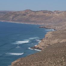
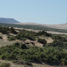
    Falaises littorales au Nord d’Imsouane
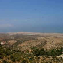
    Zone littorale de Tildi
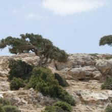
    Arganiers en drapeaux dans le col de Taboga
    Aire de gagnage de l'Ibis chauve : steppe littorale près de Tamri
    Aire de gagnage de l'Ibis chauve : steppe littorale près de Tamri
    Grottes de Cap Ghir
    Arganeraie et végétation macaronésienne à Euphorbes
    Stationnement hivernal de milliers de Laridés sur la 'plage' de Tamri

    Cap Ghir-Imsouane

    • Country: 
      Morocco
    • Designation date: 
      16-04-2019
    • Site number: 
      2373
    • Published since: 
      4 year(s)
    6,800 ha
  5. complexe de zones humides de guerbes sanhadja
    complexe de zones humides de guerbes sanhadja
    complexe de zones humides de guerbes sanhadja

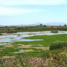
    Complexe de zones humides de la plaine de Guerbes-Sanhadja

    • Country: 
      Algeria
    • Designation date: 
      02-02-2001
    • Site number: 
      1056
    • Published since: 
      4 year(s)
    42,100 ha
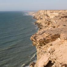
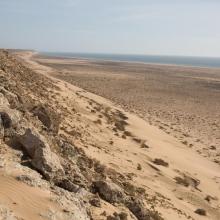
  6. Littoral Aftissate-Boujdour: falaise surplombant directement les eaux océaniques
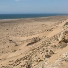
    Littoral Aftissate-Boujdour: diversité des habitats et valeur paysagère (vue vers le Nord)
    Littoral Aftissate-Boujdour: diversité des habitats et valeur paysagère (vue vers le Nord)
    Valeur culturelle du littoral d'Aftissate: tumulus sur le plateau littoral
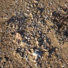
    Valeur culturelle du littoral d'Aftissate: amas coquillier préhistorique sur le plateau littoral

    Côte Aftissate-Boujdour

    • Country: 
      Morocco
    • Designation date: 
      16-04-2019
    • Site number: 
      2377
    • Published since: 
      4 year(s)
    11,700 ha
  7. Densu delta picture
    Densu delta picture
    Densu delta picture
    Densu delta picture

    Densu Delta Ramsar Site

    • Country: 
      Ghana
    • Designation date: 
      14-08-1992
    • Site number: 
      564
    • Published since: 
      8 year(s)
    5,893 ha
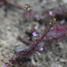
  8. Indian Marshweed (Limnophila indica)

    Du-ung Wetland Ramsar Site

    • Country: 
      Republic of Korea
    • Designation date: 
      20-12-2007
    • Site number: 
      1724
    • Published since: 
      6 year(s)
    7 ha
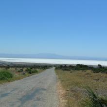
  9. Vue d'ensemble de la grande sebkha d'oran

    Grande Sebkha d'Oran

    • Country: 
      Algeria
    • Designation date: 
      02-02-2001
    • Site number: 
      1055
    • Published since: 
      4 year(s)
    56,870 ha
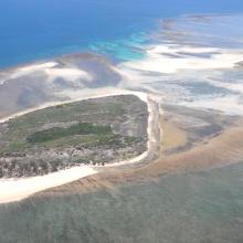
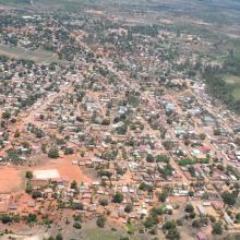
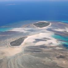
  10. Quelques uns des iles Barren
    La ville de Maintirano
    Iles Barren
    Ile de Maroantaly
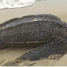
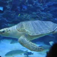
    Caretta caretta
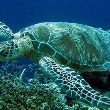
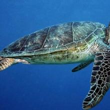
    Chelonia mydas
    Dermochelys coriacea
    Eretmochelys imbricata bissa
    Lepidochelys olivacea
    Haliaeetus vociferoides
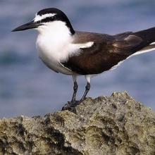
    Sterna anaethetus
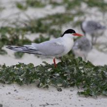
    Sterna dougallii

    Iles Barren

    • Country: 
      Madagascar
    • Designation date: 
      22-05-2017
    • Site number: 
      2303
    • Published since: 
      6 year(s)
    463,200 ha

Pages

Stats


Exports

Export Sites information

For a summary list of all the Ramsar Sites in pdf format, click here.

Generate reports of selected Sites

You can generate a report based on the filters you have applied, in either pdf or xls format. The report will sort the results by the Site name, unless you have sorted them by another variable.

For the pdfs, you can choose whether to include the introductory text on each Site, or just show the key data in a shorter report.

To receive a report, please provide your email address and enter the text in the verification picture into the textbox.

As soon as the list has been generated an e-mail will be sent to you with the link to access the file.