Search results

Map

Choose map: | | Download Centroids / Boundaries / Map (pdf)
Materials presented on this website, particularly maps and territorial information, are as-is and as-available based on available data and do not imply the expression of any opinion whatsoever on the part of the Secretariat of the Ramsar Convention concerning the legal status of any country, territory, city or area, or of its authorities, or concerning the delimitation of its frontiers or boundaries.

List

  1. A C
    A C
    A C
    A C
    A C
    A C

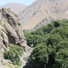
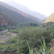
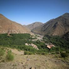
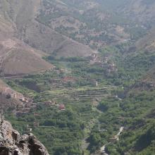
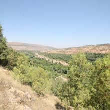
    Assifs Réghaya-Aït Mizane

    • Country: 
      Morocco
    • Designation date: 
      16-04-2019
    • Site number: 
      2371
    • Published since: 
      4 year(s)
    830 ha
  2. Dunes vives au nord de Tamri
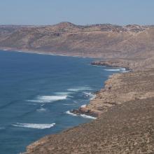
    Falaises littorales au Nord d’Imsouane
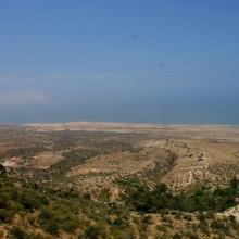
    Zone littorale de Tildi
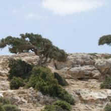
    Arganiers en drapeaux dans le col de Taboga
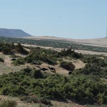
    Aire de gagnage de l'Ibis chauve : steppe littorale près de Tamri
    Aire de gagnage de l'Ibis chauve : steppe littorale près de Tamri
    Grottes de Cap Ghir
    Arganeraie et végétation macaronésienne à Euphorbes
    Stationnement hivernal de milliers de Laridés sur la 'plage' de Tamri

    Cap Ghir-Imsouane

    • Country: 
      Morocco
    • Designation date: 
      16-04-2019
    • Site number: 
      2373
    • Published since: 
      4 year(s)
    6,800 ha
  3. Vue d’ensemble du site
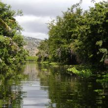
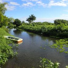
    Vue du canal Matoutia
    Vue du canal Gaby

    Etang de Saint-Paul

    • Country: 
      France (outre-mer)
    • Designation date: 
      15-07-2019
    • Site number: 
      2398
    • Published since: 
      4 year(s)
    485 ha
  4. Male Arabitragus jayakari
    Seasonaly flodded wadi
    Terrace with old settelment
    Typical wadi
    Hatta Dam

    Hatta Mountain Reserve

    • Country: 
      United Arab Emirates
    • Designation date: 
      09-01-2019
    • Site number: 
      2368
    • Published since: 
      5 year(s)
    2,100 ha
  5. Murafa River
    Dniester River
    Dniester River
    Rosa canina L.
    Ardea cinerea near Murafa River
    Murafa River

    Liadova-Murafa

    • Country: 
      Ukraine
    • Designation date: 
      04-04-2019
    • Site number: 
      2387
    • Published since: 
      4 year(s)
    5,394 ha
  6. Lower Songkram River
    Fish of Songkhram River
    Lower Songkram River
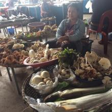
    Fish from Songkhram river at the local marketplace.
    Fish from Songkhram river at the local marketplace.
    Lower Songkram river.
    Lower Songkram river.
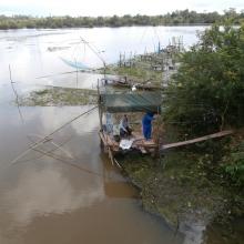
    Life of locals at the river.
    Life of locals at the river.
    Life of locals at the river.
    flooded forest of Songkram river.
    Lower Songkram river.

    Lower Songkhram River

    • Country: 
      Thailand
    • Designation date: 
      15-05-2019
    • Site number: 
      2420
    • Published since: 
      3 year(s)
    5,505 ha
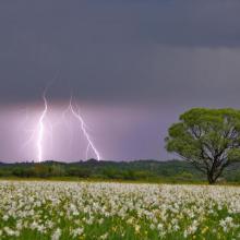
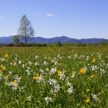
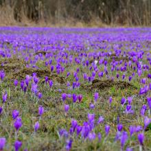
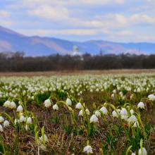
  7. Narcissi Valley
    Narcissi Valley
    Narcissi Valley
    Narcissi Valley
    Narcissi Valley
    Narcissi Valley

    Narcissi Valley

    • Country: 
      Ukraine
    • Designation date: 
      20-03-2019
    • Site number: 
      2390
    • Published since: 
      4 year(s)
    256 ha
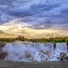
  8. Kayaking on the Lower Niagara River
    Niagara river corridor
    Gorgeous morning over America falls

    Niagara River Corridor

    • Country: 
      United States of America
    • Designation date: 
      03-10-2019
    • Site number: 
      2402
    • Published since: 
      4 year(s)
    5,248 ha
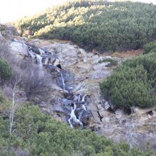
  9. Prut river flow start
    Shrubed peat-bog
    Spurce virgin wet/dry forests
    Stream running through peat bog
    View on Tsybulnyk forested/shurbed peat bog
    A post-glacial kettle under Mount Turkul with the alpine lake Nesamovyte
    A rivulet in the boggy cirque between the mounts of Hoverla and Breskul
    A sedge-moss bog “Tsybulnyk” under Mount Breskul

    Prut River Headwaters

    • Country: 
      Ukraine
    • Designation date: 
      20-03-2019
    • Site number: 
      2395
    • Published since: 
      4 year(s)
    4,935 ha
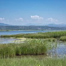
  10. Overview with Tamarix scrubs and meadows on dam.
    Overview with dry salt pan (Salicornia and Limonium formations).
    Overview with wet salt pan (Salicornia and Salsola formations).
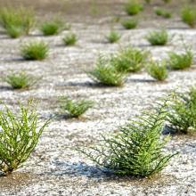
    Saltwort stands on dry basin floor at Ulcinj Solana
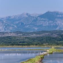
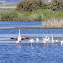
    Close up of Flamingos wintering at Ulcinj Solana
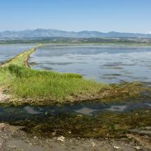
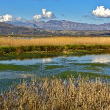
    Flooded basins at Ulcinj Solana
    Overview flooded basins Ulcinj Solana
    Overview flooded basins Ulcinj Solana
    Reeds at Ulcinj Solana
    Flamingos at the Ulcinj Solana

    Ulcinj Salina

    • Country: 
      Montenegro
    • Designation date: 
      01-07-2019
    • Site number: 
      2399
    • Published since: 
      4 year(s)
    1,477 ha

Stats


Exports

Export Sites information

For a summary list of all the Ramsar Sites in pdf format, click here.

Generate reports of selected Sites

You can generate a report based on the filters you have applied, in either pdf or xls format. The report will sort the results by the Site name, unless you have sorted them by another variable.

For the pdfs, you can choose whether to include the introductory text on each Site, or just show the key data in a shorter report.

To receive a report, please provide your email address and enter the text in the verification picture into the textbox.

As soon as the list has been generated an e-mail will be sent to you with the link to access the file.