Search results

Map

Choose map: | | Download Centroids / Boundaries / Map (pdf)
Materials presented on this website, particularly maps and territorial information, are as-is and as-available based on available data and do not imply the expression of any opinion whatsoever on the part of the Secretariat of the Ramsar Convention concerning the legal status of any country, territory, city or area, or of its authorities, or concerning the delimitation of its frontiers or boundaries.

List

  1. A C
    A C
    A C
    A C
    A C
    A C

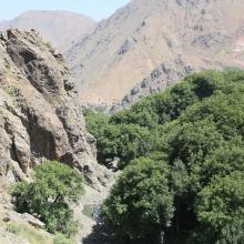
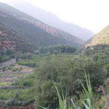
    Assifs Réghaya-Aït Mizane

    • Country: 
      Morocco
    • Designation date: 
      16-04-2019
    • Site number: 
      2371
    • Published since: 
      4 year(s)
    830 ha
  2. Forêt à mangrove
    Banc de sable marin
    Rivage  de sable fin
    Lagune de Yombo
    Forêt à raphiales
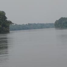
    Fleuve Kouilou
    Forêt à mangrove

    Bas-Kouilou-Yombo

    • Country: 
      Congo
    • Designation date: 
      25-09-2017
    • Site number: 
      2325
    • Published since: 
      6 year(s)
    55,124 ha
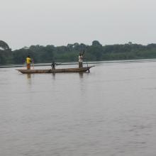
  3. La rivière Lufira
    Le lac Tshangalele qui est dans le bassin de la lufira
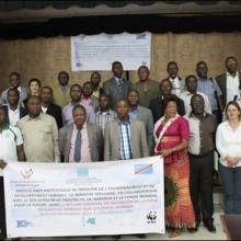
    La photo de l'atelier avec les autorités provinciales
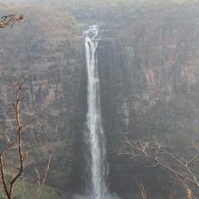
    Chutte de Lofoi

    Bassin de la Lufira

    • Country: 
      Democratic Republic of the Congo
    • Designation date: 
      31-10-2017
    • Site number: 
      2318
    • Published since: 
      6 year(s)
    4,470,993 ha
  4. Dunes vives au nord de Tamri
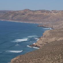
    Falaises littorales au Nord d’Imsouane
    Zone littorale de Tildi
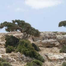
    Arganiers en drapeaux dans le col de Taboga
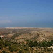
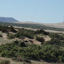
    Aire de gagnage de l'Ibis chauve : steppe littorale près de Tamri
    Aire de gagnage de l'Ibis chauve : steppe littorale près de Tamri
    Grottes de Cap Ghir
    Arganeraie et végétation macaronésienne à Euphorbes
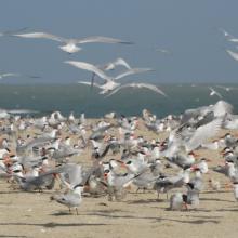
    Stationnement hivernal de milliers de Laridés sur la 'plage' de Tamri

    Cap Ghir-Imsouane

    • Country: 
      Morocco
    • Designation date: 
      16-04-2019
    • Site number: 
      2373
    • Published since: 
      4 year(s)
    6,800 ha
  5. Photo 9 : Gros plan sur la richesse culturelle des communautés riveraines du site
    Photo 5 : Périmètre maraîcher aux abords de la mare aux crocodiles sacrés
    Photo 6 : îlots de végétation arborée dans le site Ramsar
    Photo 7 : Confection de briques pour la construction des habitations aux abords de la principale mare
    Photo 8 : Puits pastoral pérenne du fait de la recharge de la nappe phréatique par la zone humide dans le village de Nogodoum
    Photo 1 : Troupeau de boeufs venant s'abreuver dans une des mare satellite  du site
    Photo 2 : Monture des communautés riveraines du site et source attraction des touristes étrangers
    Photo 3 : îlot de végétation clairsemée dans le site Ramsar
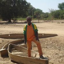
    Photo 4 : Le gestionnaire du site présentant les moyens de locomotion des habitants du village de Nogodoum situé au coeur du site pendant l'hivernage
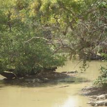
    Photo 8 : Groupe de crocodiles du Nil dans la mare du village de Nogodoum

    Cône d'épandage de Banh

    • Country: 
      Burkina Faso
    • Designation date: 
      07-10-2009
    • Site number: 
      1877
    • Published since: 
      7 year(s)
    10,003 ha
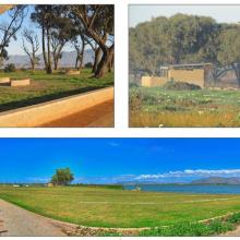
  6. Rondevlei (looking southwards over the vlei towards Muizenberg Peak and Cape Point)
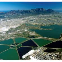
    Oblique view of the False Bay Nature Reserve looking north-westwards towards the city. The Strandfontein Birding Area is in the foreground, Zeekoevlei in the middle right and Rondevlei, middle left.
    Rondevlei (looking westwards from Zeekoevlei towards Muizenberg Peak and Silvermine)
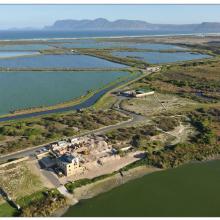
    Strandfontein Birding Area (looking southwards from Zeekoevlei towards Cape Point).  The construction of the new FBNR headquarters node (now completed)  is visible in the foreground of the photo.
    Zeekoevlei (looking northwards across the vlei from Strandfontein Birding Area towards Devil’s Peak)
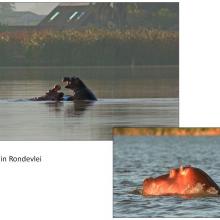
    Hippos in Rondevlei
    Various pictures at Strandfontein Birding Area
    Management Activities in the False Bay Nature Reserve
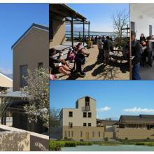
    Newly completed infrastructure on Zeekoevlei Eastern Shore, including braai areas (top left), ablution  facilities (top right) and a landscaped central picnic area (bottom).
    False Bay Nature Reserve Headquarters Complex (left), showing community use of the multi-purpose hall and associated courtyard (top centre and right) and Architect’s impression of the now completed Complex (bottom right).
    Top Left: Boat trip on Rondevlei; Top Right and Bottom Left: Bird hides at Rondevlei; Bottom Right: Picnic Area at Rondevlei; Centre: Erica Verticillata (Cape Flats Erica) classified as  ‘Extinct in the Wild’, and now growing at  Rondevlei
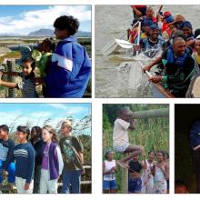
    Environmental Education activities taking place within the FBNR
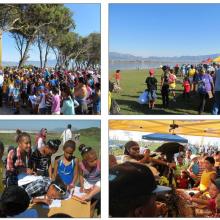
    Top Left: Start of the 2014 ‘Birdathon’ Fun Family Walk on Zeekoevlei’s Eastern Shore 
Top Right: The ‘Birdathon’ Festival at the central picnic area of Zeekoevlei’s Eastern Shore
Bottom Left: Participants at one on the Quiz stations on the 2014 Fun Walk; 
Bottom Right: Eagle Encounters’ education d
    Friends and Neighbour Initiative, the ‘Other side of the Fence’ at Village Heights informal settlement on the western boundary of the FBNR.  The  FBNR boundary  and interface zone between the settlement and the reserve can be seen in the photo on the bottom right, with the other photographs showing
    National Department of Tourism funded EPWP project on Zeekoevlei’s eastern shore

    False Bay Nature Reserve

    • Country: 
      South Africa
    • Designation date: 
      02-02-2015
    • Site number: 
      2219
    • Published since: 
      8 year(s)
    1,542 ha
  7. Le cours de la rivière Alima
    Pêche « Lufuma » pour la prise de Mormyrops deliciosus sur le fleuve Congo à Likenze (Loukolela)
    Palmeraie à Elais guineensis pour la
récolte du vin de palme
    Partie de pêche au filet dérivant exercée par les femmes sur le fleuve Congo à Konzolo (Mossaka)
     Navigation sur la rivière Alima

    Grands affluents

    • Country: 
      Congo
    • Designation date: 
      13-12-2007
    • Site number: 
      1742
    • Published since: 
      6 year(s)
    5,908,074 ha
  8. REPRODUCTION DES STERNES CASPIENNES
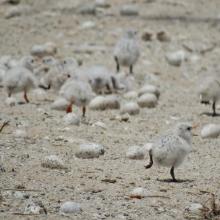
    POUSSINS DE STERNES ROYALES
    FEMMES EN ACTIVITES DE RAMASSAGES DES ARCHES DANS LES VASES DE LA ROK
    REPRODUCTION DES STERNES CASPIENNES DANS LA ROK

    Kalissaye

    • Country: 
      Senegal
    • Designation date: 
      01-09-2017
    • Site number: 
      2326
    • Published since: 
      6 year(s)
    30,014 ha
  9. Shirkela Maya
    As Selea Maya

    Khor Abu Habil Inner Delta

    • Country: 
      Sudan
    • Designation date: 
      10-04-2022
    • Site number: 
      2485
    • Published since: 
      1 year(s)
    946,409 ha
  10. Marais de Smir
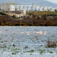
    Rive du barrage de Smir - Reposoir d'oies

    Lagune et barrage de Smir

    • Country: 
      Morocco
    • Designation date: 
      22-05-2019
    • Site number: 
      2380
    • Published since: 
      4 year(s)
    837 ha

Pages

Stats


Exports

Export Sites information

For a summary list of all the Ramsar Sites in pdf format, click here.

Generate reports of selected Sites

You can generate a report based on the filters you have applied, in either pdf or xls format. The report will sort the results by the Site name, unless you have sorted them by another variable.

For the pdfs, you can choose whether to include the introductory text on each Site, or just show the key data in a shorter report.

To receive a report, please provide your email address and enter the text in the verification picture into the textbox.

As soon as the list has been generated an e-mail will be sent to you with the link to access the file.