Search results
Search found 11 Ramsar Sites covering 601,529 ha
- (-) Remove Region/country: Oceania filter Region/country: Oceania
- (-) Remove Picture available?: Yes filter Picture available?: Yes
- (-) Remove Threats: Biological resource use filter Threats: Biological resource use
- (-) Remove Wetland type: Human-made wetlands filter Wetland type: Human-made wetlands
- (-) Remove Ramsar criteria: 3 filter Ramsar criteria: 3
- (-) Remove Region/country: Latin America and the Caribbean filter Region/country: Latin America and the Caribbean
- (-) Remove Wetland type: 3: Irrigated land filter Wetland type: 3: Irrigated land
- (-) Remove Region/country: Asia filter Region/country: Asia
Map
Materials presented on this website, particularly maps and territorial information, are as-is and as-available based on available data and do not imply the expression of any opinion whatsoever on the part of the Secretariat of the Ramsar Convention concerning the legal status of any country, territory, city or area, or of its authorities, or concerning the delimitation of its frontiers or boundaries.
List
-
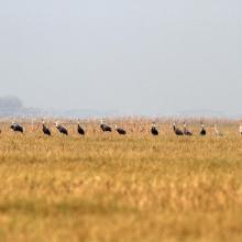

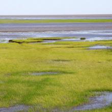
Chongming Dongtan Nature Reserve, Shanghai
-
Country:China
-
Designation date:08-01-2002
-
Site number:1144
-
Published since:6 year(s)
32,600 ha -
-
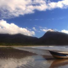
Environmental Protection Area of Cananéia-Iguape-Peruíbe
-
Country:Brazil
-
Designation date:04-09-2017
-
Site number:2310
-
Published since:6 year(s)
202,307 ha -
-


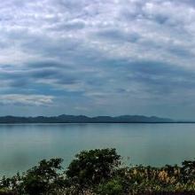
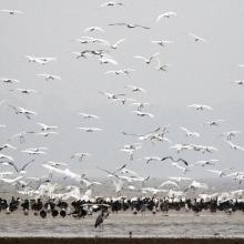
Hubei Wang Lake
-
Country:China
-
Designation date:08-01-2018
-
Site number:2349
-
Published since:5 year(s)
20,495 ha -
-
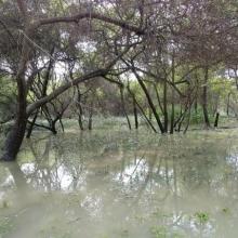
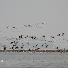

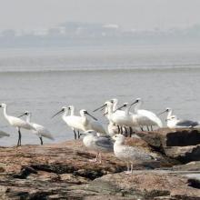
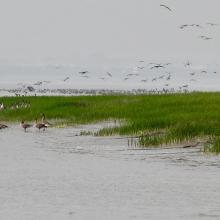
Janghang Wetland
-
Country:Republic of Korea
-
Designation date:21-05-2021
-
Site number:2448
-
Published since:2 year(s)
596 ha -
-
Khao Sam Roi Yot Wetland
-
Country:Thailand
-
Designation date:08-01-2008
-
Site number:2238
-
Published since:8 year(s)
6,892 ha -
-

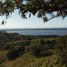

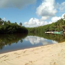
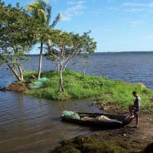
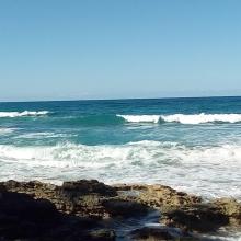
Refugio de Vida Silvestre Laguna Redonda y Limón (Los Humedales del Refugio de Vida Silvestre Laguna Redonda y Limón, Miches y Ria Maimón)
-
Country:Dominican Republic
-
Designation date:13-10-2022
-
Site number:2498
-
Published since:1 year(s)
5,754 ha -
-
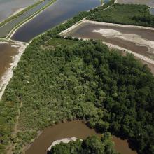
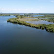
Sistema de Humedales de la Zona Sur de Honduras
-
Country:Honduras
-
Designation date:10-07-1999
-
Site number:1000
-
Published since:2 year(s)
75,031 ha -
-
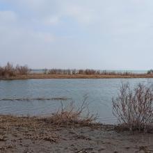
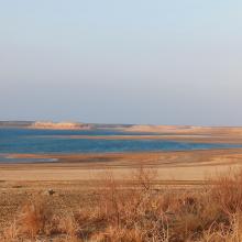
Tudakul and Kuymazar Water Reservoirs
-
Country:Uzbekistan
-
Designation date:19-08-2020
-
Site number:2433
-
Published since:3 year(s)
32,000 ha -
-
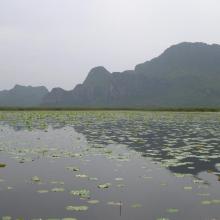
Van Long Wetland Nature Reserve
-
Country:Viet Nam
-
Designation date:10-02-2017
-
Site number:2360
-
Published since:5 year(s)
2,736 ha -
-
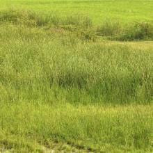


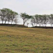
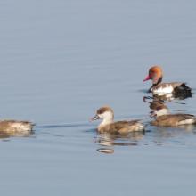
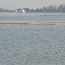
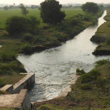
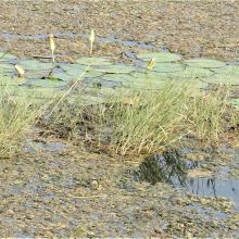


Wadhvana Wetland
-
Country:India
-
Designation date:05-04-2021
-
Site number:2454
-
Published since:2 year(s)
630 ha -

