Search results
Search found 10 Ramsar Sites covering 333,190 ha
- (-) Remove Threats: Agriculture & aquaculture filter Threats: Agriculture & aquaculture
- (-) Remove Threats: Climate change & severe weather filter Threats: Climate change & severe weather
- (-) Remove Management plan available: No filter Management plan available: No
- (-) Remove Threats: Unspecified filter Threats: Unspecified
- (-) Remove Designation date: 2004 filter Designation date: 2004
- (-) Remove Threats: Marine and freshwater aquaculture filter Threats: Marine and freshwater aquaculture
Map
Materials presented on this website, particularly maps and territorial information, are as-is and as-available based on available data and do not imply the expression of any opinion whatsoever on the part of the Secretariat of the Ramsar Convention concerning the legal status of any country, territory, city or area, or of its authorities, or concerning the delimitation of its frontiers or boundaries.
List
-

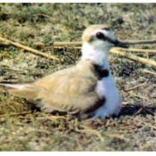
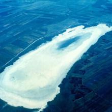
Csongrád-Bokrosi Sóstó sodic-alkaline pans
-
Country:Hungary
-
Designation date:04-12-2004
-
Site number:1409
-
Published since:8 year(s)
865 ha -
-

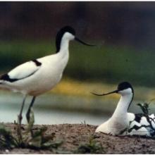
Delta del Río Baudó
-
Country:Colombia
-
Designation date:05-06-2004
-
Site number:1387
-
Published since:19 year(s)
8,888 ha -
-

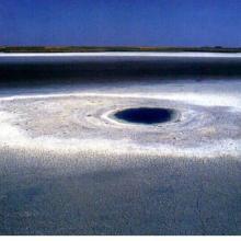
Laguna de Sayula
-
Country:Mexico
-
Designation date:02-02-2004
-
Site number:1338
-
Published since:20 year(s)
16,800 ha -
-
Laguna Teniente Rojas Silva
-
Country:Paraguay
-
Designation date:14-07-2004
-
Site number:1390
-
Published since:19 year(s)
8,470 ha -
-
Playón Mexiquillo
-
Country:Mexico
-
Designation date:02-02-2004
-
Site number:1350
-
Published since:20 year(s)
66 ha -
-


Sebkhet El Hamiet
-
Country:Algeria
-
Designation date:12-12-2004
-
Site number:1428
-
Published since:4 year(s)
2,509 ha -
-
Sistema Lagunar Alvarado
-
Country:Mexico
-
Designation date:02-02-2004
-
Site number:1355
-
Published since:20 year(s)
267,010 ha -
-
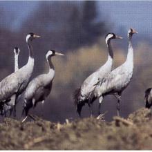
Slano Kopovo
-
Country:Serbia
-
Designation date:14-05-2004
-
Site number:1392
-
Published since:19 year(s)
976 ha -
-


Tisa River
-
Country:Slovakia
-
Designation date:04-12-2004
-
Site number:1411
-
Published since:19 year(s)
735 ha -
-

Upper Tisza (Felsö-Tisza)
-
Country:Hungary
-
Designation date:10-01-2004
-
Site number:1410
-
Published since:7 year(s)
26,871 ha -