Search results

Map

Choose map: | | Download Centroids / Boundaries / Map (pdf)
Materials presented on this website, particularly maps and territorial information, are as-is and as-available based on available data and do not imply the expression of any opinion whatsoever on the part of the Secretariat of the Ramsar Convention concerning the legal status of any country, territory, city or area, or of its authorities, or concerning the delimitation of its frontiers or boundaries.

List

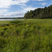
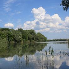
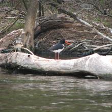
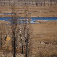
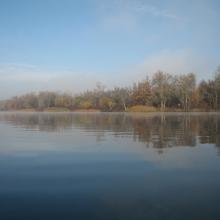
  1. Åkersvika (near Kvennvegen)
    Åkersvika
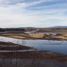
    Svartelvdeltaet

    Åkersvika

    • Country: 
      Norway
    • Designation date: 
      09-07-1974
    • Site number: 
      13
    • Published since: 
      7 year(s)
    428 ha
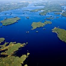
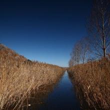
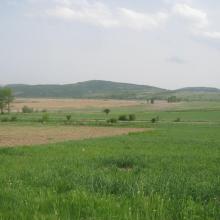
  2. The west part of lake Åsnen, seen from south against north.

    Åsnen

    • Country: 
      Sweden
    • Designation date: 
      12-06-1989
    • Site number: 
      429
    • Published since: 
      7 year(s)
    17,866 ha
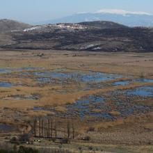
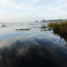
  3. Vue du Parc Ornithologique du Marquenterre

    Baie de Somme

    • Country: 
      France
    • Designation date: 
      23-01-1998
    • Site number: 
      925
    • Published since: 
      7 year(s)
    19,043 ha
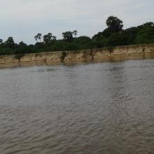
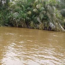
  4. Forêt à mangrove
    Banc de sable marin
    Rivage  de sable fin
    Lagune de Yombo
    Forêt à raphiales
    Fleuve Kouilou
    Forêt à mangrove

    Bas-Kouilou-Yombo

    • Country: 
      Congo
    • Designation date: 
      25-09-2017
    • Site number: 
      2325
    • Published since: 
      6 year(s)
    55,124 ha
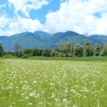
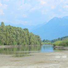
  5. Central Bolle
    Central Bolle
    Southern Bolle
    Mouth of the Ticino River
    Magadino backwaters

    Bolle di Magadino

    • Country: 
      Switzerland
    • Designation date: 
      18-02-1982
    • Site number: 
      231
    • Published since: 
      7 year(s)
    663 ha
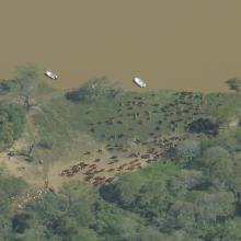
  6. Islas de Diamante, provincia de Entre Ríos
    Islas del Delta del Paraná cerca de puerto Gaboto
    Riacho el Brasilero, provincia de Entre Ríos
    Bosque ribereño
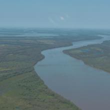
    Cauce principal Río Paraná - Isla El Rico
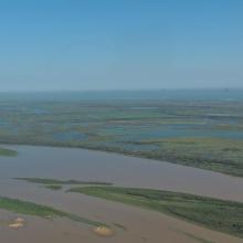
    Localidad de Diamante y humedales del sitio Ramsar
    Ríos y humedales de Santa Fe
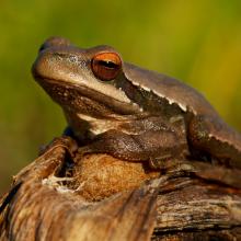
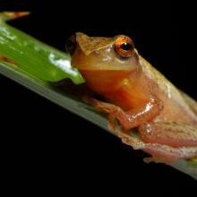
    Ranita del zarzal
    Ranita
    Arroyo La Azotea
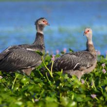
    Chajá
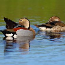
    Pato de collar
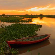
    Canoa nutriera
    Luz sobre el río
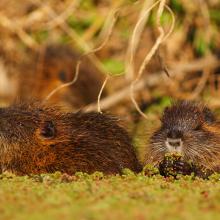
    Crías de coipo
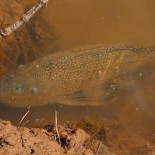
    Vieja de agua
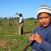
    Pobladores. Familia isleña
    Pobladores
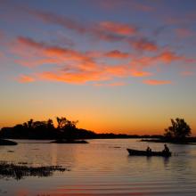
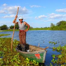
    Islero en canoa
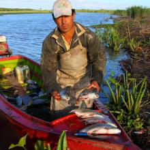
    Percador
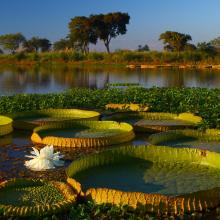
    Irupé
    Timbó blanco al atardacer

    Delta del Paraná

    • Country: 
      Argentina
    • Designation date: 
      03-10-2015
    • Site number: 
      2255
    • Published since: 
      8 year(s)
    243,126 ha
  7. Dniester-Turunchuk Crossrivers Area - Ukraine
    Dniester-Turunchuk Crossrivers Area - Ukraine
    Dniester-Turunchuk Crossrivers Area - Ukraine

    Dniester-Turunchuk Crossrivers Area

    • Country: 
      Ukraine
    • Designation date: 
      28-02-1997
    • Site number: 
      764
    • Published since: 
      1 year(s)
    10,903 ha
  8. Dnipro-Oril Floodplains
    Dnipro-Oril Floodplains
    Dnipro-Oril Floodplains
    Dnipro-Oril Floodplains
    Dnipro-Oril Floodplains
    Dnipro-Oril Floodplains
    Dnipro-Oril Floodplains
    Dnipro-Oril Floodplains
    Dnipro-Oril Floodplains
    Dnipro-Oril Floodplains
    Dnipro-Oril Floodplains

    Dnipro-Oril Floodplains

    • Country: 
      Ukraine
    • Designation date: 
      17-11-2003
    • Site number: 
      1399
    • Published since: 
      2 year(s)
    2,560 ha
  9. Western part of the wetland with Chepan Mountain in the background.
    Dragoman marsh - Aldrovanda versiculosa monitoring - The Turtle, Birds and Plants in Western Bulgaria Project BG03.SGS-18, funded under the BG03 Program of the European Economic Area Financial Mechanism 2009-2014
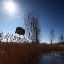
    From the bird watcherover.
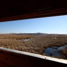
    A bird watchover in Dragoman marsh.
    Dragoman marsh.
    Dragoman marsh.
    Dragoman marsh
    Dragoman marsh, View from Chepan Mountain

    Dragoman Marsh Karst Complex

    • Country: 
      Bulgaria
    • Designation date: 
      11-02-2011
    • Site number: 
      1970
    • Published since: 
      4 year(s)
    14,941 ha
  10. Drużno Lake
    Drużno Lake
    Drużno Lake
    Drużno Lake

    Druzno Lake Nature Reserve

    • Country: 
      Poland
    • Designation date: 
      29-10-2002
    • Site number: 
      1563
    • Published since: 
      4 year(s)
    3,068 ha

Pages

Stats


Exports

Export Sites information

For a summary list of all the Ramsar Sites in pdf format, click here.

Generate reports of selected Sites

You can generate a report based on the filters you have applied, in either pdf or xls format. The report will sort the results by the Site name, unless you have sorted them by another variable.

For the pdfs, you can choose whether to include the introductory text on each Site, or just show the key data in a shorter report.

To receive a report, please provide your email address and enter the text in the verification picture into the textbox.

As soon as the list has been generated an e-mail will be sent to you with the link to access the file.