Search results

Map

Choose map: | | Download Centroids / Boundaries / Map (pdf)
Materials presented on this website, particularly maps and territorial information, are as-is and as-available based on available data and do not imply the expression of any opinion whatsoever on the part of the Secretariat of the Ramsar Convention concerning the legal status of any country, territory, city or area, or of its authorities, or concerning the delimitation of its frontiers or boundaries.

List

  1. Ramsar logo

    Área de Protección de Flora y Fauna Yum Balam

    • Country: 
      Mexico
    • Designation date: 
      02-02-2004
    • Site number: 
      1360
    • Published since: 
      20 year(s)
    154,052 ha
  2. Ramsar logo

    Buenavista

    • Country: 
      Cuba
    • Designation date: 
      18-11-2002
    • Site number: 
      1233
    • Published since: 
      21 year(s)
    313,500 ha
  3. Ramsar

    Door Peninsula Coastal Wetlands

    • Country: 
      United States of America
    • Designation date: 
      10-06-2014
    • Site number: 
      2218
    • Published since: 
      9 year(s)
    4,631 ha
  4. Ramsar logo

    Everglades National Park

    • Country: 
      United States of America
    • Designation date: 
      04-06-1987
    • Site number: 
      374
    • Published since: 
      19 year(s)
    610,497 ha
  5. Ramsar logo

    Humedal de Importancia Especialmente para la Conservación de Aves Acuáticas Reserva Ría Lagartos

    • Country: 
      Mexico
    • Designation date: 
      04-07-1986
    • Site number: 
      332
    • Published since: 
      23 year(s)
    60,348 ha
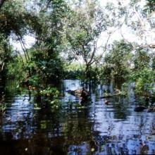
  6. Selva Baja Inundable
    Vista aérea de islas de Selva Baja inundable en temporada de secas, indispensables para los ciclos reproductivos de diferentes especies de fauna silvestre
    Arroyo hediondo es la única conexión por donde ingresa la marea y ingresan los manatís al complejo de pantanos
    Arroyo hediondo es la única conexión por donde ingresa la marea y ingresan los manatís al complejo de pantanos
    Visión parcial de una parvada de más de 11,000 pichichis (Dendrocygna autumnalis) observada en enero de 2005 descansando en los humedales de la Popotera durante su migración.
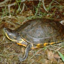
    La Tortuga Pinta (Trachemys venusta) es la especie que permanece mayor tiempo asoleándose sobre los pantanos y puede observarse fácilmente.
    La Tortuga Blanca (Dermatemys mawi) es la especie de tortuga dulceacuícola en mayor peligro de extinción en México, y estos humedales representan uno de sus últimos refugios en el estado de Veracruz.

    Humedales de la Laguna La Popotera

    • Country: 
      Mexico
    • Designation date: 
      05-06-2005
    • Site number: 
      1462
    • Published since: 
      18 year(s)
    1,975 ha
  7. Entrée du petit lagon.
    îlot karstique du grand lagon.
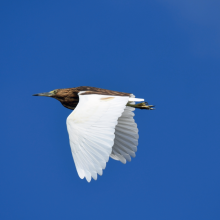
    Crabier blanc (ardeola idae).
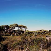
    Euphorbaie.
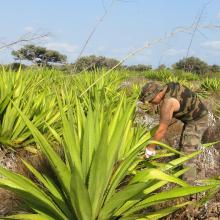
    Lutte contre le choca (Furcraea foetida), une espèce végétale exotique envahissante.
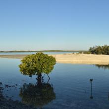
    Lutjanus fulvus et Lutjanus ehrenbergii dans un bras de mangrove
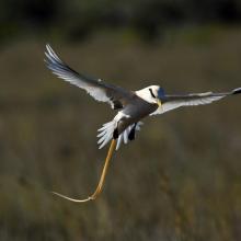
    Phaéton à bec jaune (Phaethon lepturus).
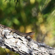
    Scinque aux labiales tachetées (Trachylepis maculilabris).

    Île Europa

    • Country: 
      France (outre-mer)
    • Designation date: 
      27-10-2011
    • Site number: 
      2073
    • Published since: 
      1 year(s)
    214,872 ha
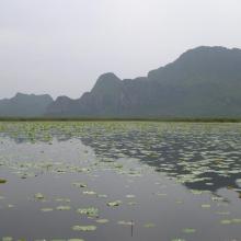
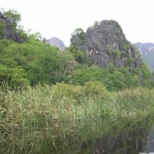
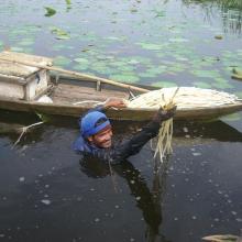
  8. Khao Sam Roi Yot Wetland
    Khao Sam Roi Yot Wetland
    Khao Sam Roi Yot Wetland
    Khao Sam Roi Yot Wetland

    Khao Sam Roi Yot Wetland

    • Country: 
      Thailand
    • Designation date: 
      08-01-2008
    • Site number: 
      2238
    • Published since: 
      8 year(s)
    6,892 ha
  9. Turtle nesting beach
    Bourreria  succulenta, planted in a reforestation project in 2006 at Klein Bonaire.
    Karst well at Klein Bonaire

    Klein Bonaire

    • Country: 
      Netherlands (Kingdom of the)
    • Designation date: 
      23-05-1980
    • Site number: 
      201
    • Published since: 
      2 year(s)
    1,295 ha
  10. Mangrove creek Lac Baai
    Canoeing at Lac Baai
    Fence at Lac Baai to prevent grazing livestock entering the mangroves.
    Salt pan Cai at Lac Baai

    Lac Baai

    • Country: 
      Netherlands (Kingdom of the)
    • Designation date: 
      23-05-1980
    • Site number: 
      199
    • Published since: 
      2 year(s)
    1,550 ha

Pages

Stats


Exports

Export Sites information

For a summary list of all the Ramsar Sites in pdf format, click here.

Generate reports of selected Sites

You can generate a report based on the filters you have applied, in either pdf or xls format. The report will sort the results by the Site name, unless you have sorted them by another variable.

For the pdfs, you can choose whether to include the introductory text on each Site, or just show the key data in a shorter report.

To receive a report, please provide your email address and enter the text in the verification picture into the textbox.

As soon as the list has been generated an e-mail will be sent to you with the link to access the file.