Search results
Search found 33 Ramsar Sites covering 7,296,404 ha
- (-) Remove Ramsar criteria: 3 filter Ramsar criteria: 3
- (-) Remove Picture available?: Yes filter Picture available?: Yes
- (-) Remove Ramsar criteria: 6 filter Ramsar criteria: 6
- (-) Remove Wetland type: Inland wetlands filter Wetland type: Inland wetlands
- (-) Remove Wetland type: Ss: Seasonal/ intermittent saline/ brackish/ alkaline marshes/ pools filter Wetland type: Ss: Seasonal/ intermittent saline/ brackish/ alkaline marshes/ pools
Map
Materials presented on this website, particularly maps and territorial information, are as-is and as-available based on available data and do not imply the expression of any opinion whatsoever on the part of the Secretariat of the Ramsar Convention concerning the legal status of any country, territory, city or area, or of its authorities, or concerning the delimitation of its frontiers or boundaries.
List
-

Zones humides de Bedo
-
Country:Madagascar
-
Designation date:12-05-2007
-
Site number:1686
-
Published since:7 year(s)
1,962 ha -
-


Waza Logone Floodplain
-
Country:Cameroon
-
Designation date:20-03-2006
-
Site number:1609
-
Published since:18 year(s)
600,000 ha -
-


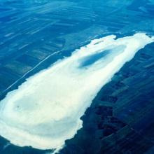
Vransko Lake
-
Country:Croatia
-
Designation date:02-02-2013
-
Site number:2109
-
Published since:4 year(s)
5,748 ha -
-

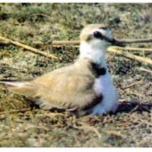
Upper Kiskunság alkaline steppes
-
Country:Hungary
-
Designation date:06-10-2006
-
Site number:1646
-
Published since:7 year(s)
13,177 ha -
-
")
,on the left, the old tower of Nubia and the Egadi island on the background")
")
")
, an old mill on the background and Favignana Island")
")
")
")
")
")
")
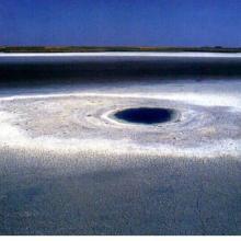
Trapani and Paceco salt ponds
-
Country:Italy
-
Designation date:19-10-2017
-
Site number:2329
-
Published since:6 year(s)
971 ha -
-


Tibet Selincuo Wetlands
-
Country:China
-
Designation date:08-01-2018
-
Site number:2352
-
Published since:5 year(s)
1,893,630 ha -
-
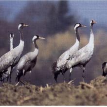
Slano Kopovo
-
Country:Serbia
-
Designation date:14-05-2004
-
Site number:1392
-
Published since:19 year(s)
976 ha -
-


Sistema de Humedales de la Zona Sur de Honduras
-
Country:Honduras
-
Designation date:10-07-1999
-
Site number:1000
-
Published since:2 year(s)
75,031 ha -
-


Shagany-Alibei-Burnas Lakes System
-
Country:Ukraine
-
Designation date:28-02-1997
-
Site number:763
-
Published since:1 year(s)
27,600 ha -
-


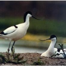
Sebkhet Soliman
-
Country:Tunisia
-
Designation date:07-11-2007
-
Site number:1713
-
Published since:7 year(s)
880 ha -