Search results

Map

Choose map: | | Download Centroids / Boundaries / Map (pdf)
Materials presented on this website, particularly maps and territorial information, are as-is and as-available based on available data and do not imply the expression of any opinion whatsoever on the part of the Secretariat of the Ramsar Convention concerning the legal status of any country, territory, city or area, or of its authorities, or concerning the delimitation of its frontiers or boundaries.

List

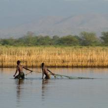
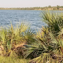
  1. pêche d'anguille au lac Tonga
    Aulnaie du Tonga
    Lac Tonga

    Réserve Intégrale du Lac Tonga

    • Country: 
      Algeria
    • Designation date: 
      11-04-1983
    • Site number: 
      281
    • Published since: 
      6 year(s)
    2,700 ha
  2. lac khar
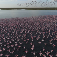
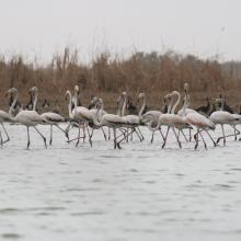
    grand lac (envol de flamants nains)
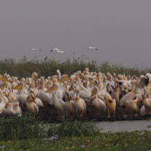
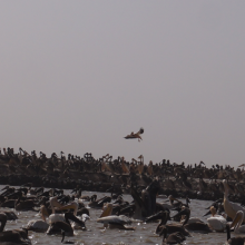
    pélicans en reproduction au djoudj
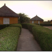
    campement écotouristique des communautés riveraines du parc
    crocodile du nil au bord du marigot du djoudj
    flamants roses en vol au dessus de la rivière Gorom
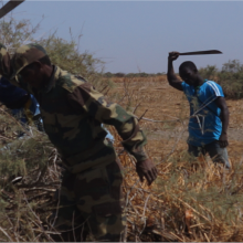
    activité d'aménagement par les agents du parc (signalétique)
    activité d'amenagement d'un lac par les volontaires écogardes du parc
    héronnière de la zone du crocodile (zone nord du parc)
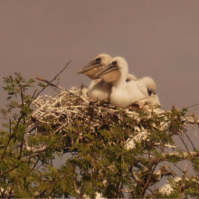
    poussins de pelicans gris (canal du crocodile)
    image du canal du crocodile
    nichoir des pélicans
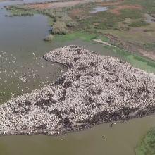
    vue aérienne du nichoir des pélicans
    python de Seba
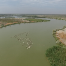
    vue aérienne du marigot du djoudj

    Parc National des Oiseaux du Djoudj

    • Country: 
      Senegal
    • Designation date: 
      11-07-1977
    • Site number: 
      138
    • Published since: 
      7 year(s)
    16,000 ha
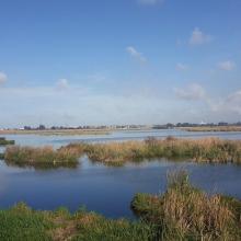
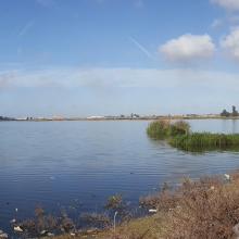
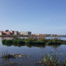
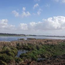
  3. Merja Fouwarate
    Merja Fouwarate
    Merja Fouwarate
    Merja Fouwarate
    Merja Fouwarate
    Merja Fouwarate

    Merja de Fouwarate

    • Country: 
      Morocco
    • Designation date: 
      12-01-2018
    • Site number: 
      2324
    • Published since: 
      6 year(s)
    502 ha
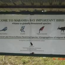
  4. Mabamba
    Mabamba
    Mabamba

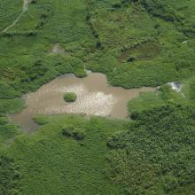
    Mabamba Bay Wetland System

    • Country: 
      Uganda
    • Designation date: 
      15-09-2006
    • Site number: 
      1638
    • Published since: 
      17 year(s)
    2,424 ha
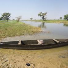
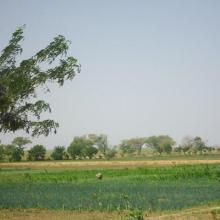
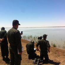
  5. Photo 1 : Plan d'eau de la vallée du Sourou
    Photo 2 : Engin de pêche aux abords du plan d'eau
    Photo 3 : Station de pompage d'eau pour le périmètre irrigué (2245 ha) aménagé dans le cadre du Millenium Challenge Account (MCA)
    Photo 4 : Un pêcheur en pleine prise de poisson
    Photo 7 : Étendue de spéculations maraîchères  dans le périmètre aménagé   dans le cadre du MCA
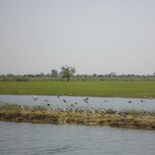
    Photo 6 : Richesse ornithologique du site de la vallée du Sourou
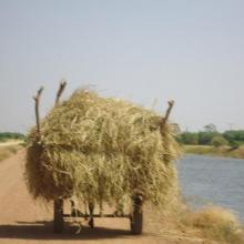
    Photo 5 : Récolte de la paille sur le site de la vallée du Sourou
    Photo 8 : Pêcheur solitaire sur  la rive droite de la vallée du Sourou
    Photo 9 : Étendue du périmètre aménagé

    La Vallée du Sourou

    • Country: 
      Burkina Faso
    • Designation date: 
      07-10-2009
    • Site number: 
      1885
    • Published since: 
      6 year(s)
    21,157 ha
  6. barrage de Boughezoul
    barrage de Boughezoul
    barrage de Boughezoul
    barrage de Boughezoul

    Lac du barrage de Boughezoul

    • Country: 
      Algeria
    • Designation date: 
      05-06-2011
    • Site number: 
      1960
    • Published since: 
      4 year(s)
    9,058 ha
  7. Lac Guidimouni

    Lac de Guidimouni

    • Country: 
      Niger
    • Designation date: 
      18-12-2019
    • Site number: 
      2450
    • Published since: 
      2 year(s)
    338 ha
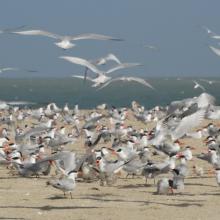
  8. REPRODUCTION DES STERNES CASPIENNES
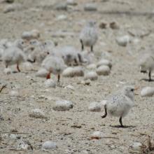
    POUSSINS DE STERNES ROYALES
    FEMMES EN ACTIVITES DE RAMASSAGES DES ARCHES DANS LES VASES DE LA ROK
    REPRODUCTION DES STERNES CASPIENNES DANS LA ROK

    Kalissaye

    • Country: 
      Senegal
    • Designation date: 
      01-09-2017
    • Site number: 
      2326
    • Published since: 
      6 year(s)
    30,014 ha
  9. Lioness on the eastern edge of Etosha Pan near Namutoni.  Exceptionally high rainfall in Angola and northern Namibia resulted in the pan filling up.
    The old fort at Namutoni with Fischer's Pan in the foreground, eastern Etosha.
    Giraffe on the edge of Fischer's Pan, eastern Etosha.
    Causeway across Fischer's Pan flooded by exceptionally high water levels.
    Ephemeral waterhole formed during the rainy season.
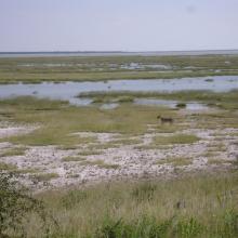
    View of the eastern edge of Etosha Pan near Namutoni.
    View of the eastern edge of Etosha Pan near Namutoni.
    Blue Cranes on the edge of Etosha Pan near Doringdraai, eastern Etosha.

    Etosha Pan

    • Country: 
      Namibia
    • Designation date: 
      23-08-1995
    • Site number: 
      745
    • Published since: 
      28 year(s)
    600,000 ha
  10. Skyview of Lake
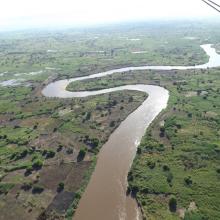
    Skyview of River
    Fishers backwater in northern marsh
    Main channel in northern marsh
    Edge vegetation
    Agriculture land western marsh
    Open water area and fish landing site

    Elephant Marsh

    • Country: 
      Malawi
    • Designation date: 
      01-07-2017
    • Site number: 
      2308
    • Published since: 
      6 year(s)
    61,556 ha

Pages

Stats


Exports

Export Sites information

For a summary list of all the Ramsar Sites in pdf format, click here.

Generate reports of selected Sites

You can generate a report based on the filters you have applied, in either pdf or xls format. The report will sort the results by the Site name, unless you have sorted them by another variable.

For the pdfs, you can choose whether to include the introductory text on each Site, or just show the key data in a shorter report.

To receive a report, please provide your email address and enter the text in the verification picture into the textbox.

As soon as the list has been generated an e-mail will be sent to you with the link to access the file.