Search results
Search found 93 Ramsar Sites covering 5,231,412 ha
- (-) Remove Designation date: 1992 filter Designation date: 1992
- (-) Remove Threats: Climate change & severe weather filter Threats: Climate change & severe weather
- (-) Remove Management plan available: Yes filter Management plan available: Yes
- (-) Remove Statutory designation taxonomy: World Heritage site filter Statutory designation taxonomy: World Heritage site
- (-) Remove Wetland type: Human-made wetlands filter Wetland type: Human-made wetlands
- (-) Remove Ecosystem services: Supporting Services filter Ecosystem services: Supporting Services
- (-) Remove Designation date: August 1992 filter Designation date: August 1992
- (-) Remove Max elevation (in meters): 0 - 499 filter Max elevation (in meters): 0 - 499
Map
Materials presented on this website, particularly maps and territorial information, are as-is and as-available based on available data and do not imply the expression of any opinion whatsoever on the part of the Secretariat of the Ramsar Convention concerning the legal status of any country, territory, city or area, or of its authorities, or concerning the delimitation of its frontiers or boundaries.
List
-
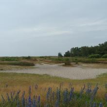
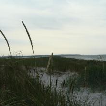
Falsterbo-Foteviken
-
Country:Sweden
-
Designation date:05-12-1974
-
Site number:14
-
Published since:5 year(s)
7,851 ha -
-
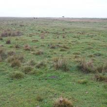
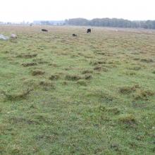
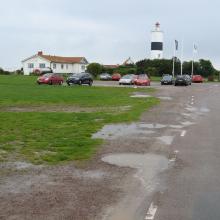
Ottenby
-
Country:Sweden
-
Designation date:05-12-1974
-
Site number:17
-
Published since:5 year(s)
1,856 ha -
-
Ölands ostkust
-
Country:Sweden
-
Designation date:05-12-1974
-
Site number:18
-
Published since:5 year(s)
10,718 ha -
-
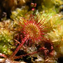
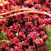
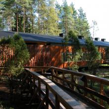
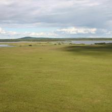
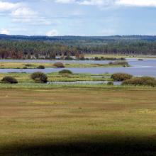
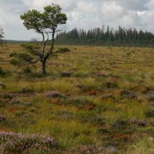
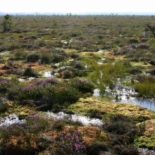

Store Mosse
-
Country:Sweden
-
Designation date:05-12-1974
-
Site number:20
-
Published since:7 year(s)
7,797 ha -
-
Matsalu
-
Country:Estonia
-
Designation date:29-03-1994
-
Site number:104
-
Published since:3 year(s)
48,610 ha -
-

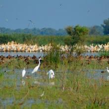
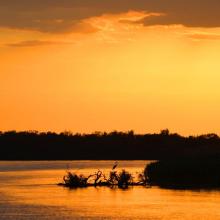
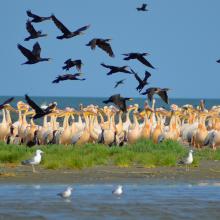
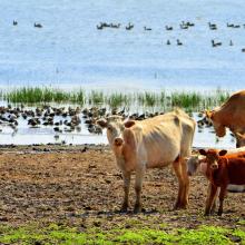
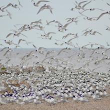
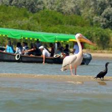
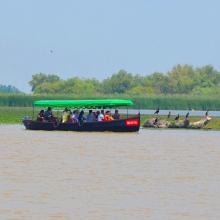
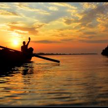
Kyliiske Mouth
-
Country:Ukraine
-
Designation date:11-10-1976
-
Site number:113
-
Published since:1 year(s)
44,904 ha -
-
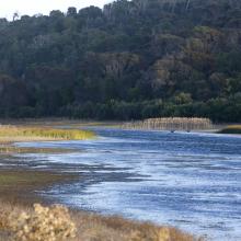

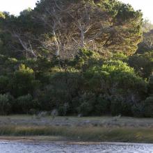
Little Waterhouse Lake
-
Country:Australia
-
Designation date:16-11-1982
-
Site number:260
-
Published since:1 year(s)
56 ha -
-
Kerang Wetlands
-
Country:Australia
-
Designation date:15-12-1982
-
Site number:265
-
Published since:4 year(s)
9,784 ha -
-


Atanasovsko Lake
-
Country:Bulgaria
-
Designation date:28-11-1984
-
Site number:292
-
Published since:4 year(s)
1,995 ha -
-
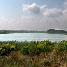
Durankulak Lake
-
Country:Bulgaria
-
Designation date:28-11-1984
-
Site number:293
-
Published since:4 year(s)
1,371 ha -

