Search results

Map

Choose map: | | Download Centroids / Boundaries / Map (pdf)
Materials presented on this website, particularly maps and territorial information, are as-is and as-available based on available data and do not imply the expression of any opinion whatsoever on the part of the Secretariat of the Ramsar Convention concerning the legal status of any country, territory, city or area, or of its authorities, or concerning the delimitation of its frontiers or boundaries.

List

  1. Ramsar logo

    Lake Kutubu

    • Country: 
      Papua New Guinea
    • Designation date: 
      25-09-1998
    • Site number: 
      961
    • Published since: 
      25 year(s)
    4,924 ha
  2. Ramsar logo

    Turkmenbashy Bay

    • Country: 
      Turkmenistan
    • Designation date: 
      23-02-2008
    • Site number: 
      1855
    • Published since: 
      13 year(s)
    267,124 ha
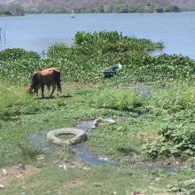
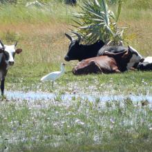
  3. Panorámica Laguna de Olomega
    Panorámica Laguna de Olomega 2
    Ganado en Laguna de Olomega
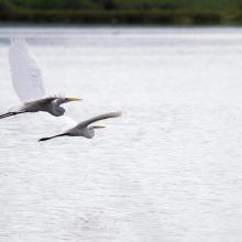
    Ardea alba
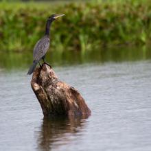
    Phalacrocorax brasilianus
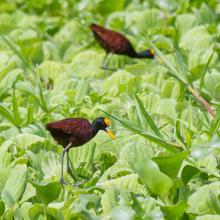
    Jacana spinosa

    Laguna de Olomega

    • Country: 
      El Salvador
    • Designation date: 
      02-02-2010
    • Site number: 
      1899
    • Published since: 
      2 year(s)
    7,557 ha
  4. Ramsar logo

    Parque Andino Juncal

    • Country: 
      Chile
    • Designation date: 
      22-05-2010
    • Site number: 
      1909
    • Published since: 
      13 year(s)
    13,796 ha
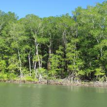
  5. Bosque de Manglar/Estero de Jaltepeque
    Bosque de Manglar/Estero de Jaltepeque
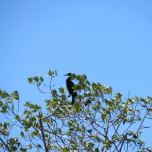
    Phalacrocorax brasilianus (Pato Chancho) especie potencialmente oportunista en la zona.
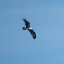
    Pandion haliaetus (Águila Pescadora), migratoria.
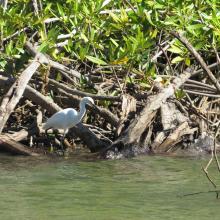
    Egretta thula (Garza blanca de patas amarillas).

    Complejo Jaltepeque

    • Country: 
      El Salvador
    • Designation date: 
      02-02-2011
    • Site number: 
      1935
    • Published since: 
      2 year(s)
    49,474 ha
  6. A landscape of Lower Maruyama River taken from Toyooka Bridge located in the site "Lower Maruyama River and the surrounding rice paddies"

    Lower Maruyama River and the Surrounding Rice Paddies

    • Country: 
      Japan
    • Designation date: 
      03-07-2012
    • Site number: 
      2055
    • Published since: 
      5 year(s)
    1,094 ha
  7. Ramsar logo

    Lille Vildmose

    • Country: 
      Denmark
    • Designation date: 
      18-05-2013
    • Site number: 
      2166
    • Published since: 
      10 year(s)
    7,393 ha
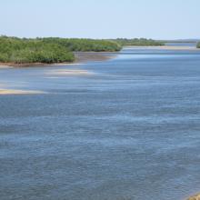
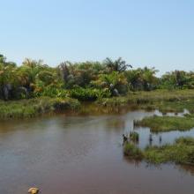
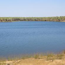
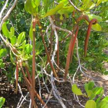
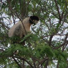
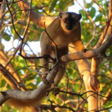
  8. Mangroves d'Antrema
    `Succession de mangroves
    Marécages raphières
    Lac Sahariake
    Site de restauration de mangroves
    Graines de Rhizophora mucronata
    Fruits de Bruguiera gymnorrhiza
    Threskiornis bernieri
    Platalea alba
    Charadrius marginatus
    Haliaeetus vociferoides
    Propithecus coronatus
    Eulemur fulvus
    Tilapia zilii
    Tilapia rendalli
    Pratilapia polleni
    Oreochromis mossambicus

    Site Bioculturel d'Antrema

    • Country: 
      Madagascar
    • Designation date: 
      02-02-2017
    • Site number: 
      2286
    • Published since: 
      7 year(s)
    20,620 ha
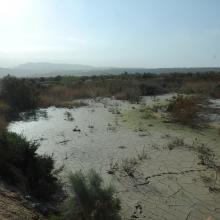
  9. drainage
    Overview
    Overview

    Fifa Nature Reserve

    • Country: 
      Jordan
    • Designation date: 
      04-12-2016
    • Site number: 
      2294
    • Published since: 
      7 year(s)
    6,100 ha
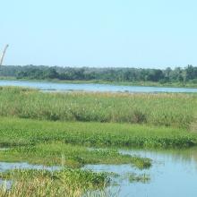
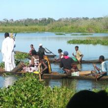
  10. Le Lac Ambondrobe
    Lacs satéllites autour du lac Ambondrobe
    La fleuve Manambolo, adjacente au site Ambondrobe
    Ecosystème marécageuse sur les berges du lac Ambondrobe
    Photo montrant la présence d'Eichhornia crassipes sur les bords
    Photo montrant la pratique du "Lohadrano"
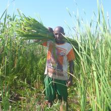
    Utilisation de ressources par les communautés locales
    Ressources en poisson d'eau douce du lac Ambondrobe
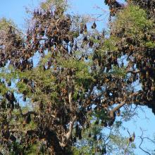
    Pteropus rufus
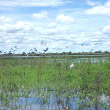
    Quelques peuplement d'oiseaux d'eau du lac Ambondrobe
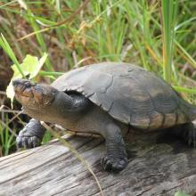
    Erymnochelys madagascariensis
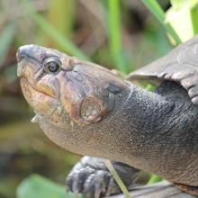
    Erymnochelys madagascariensis
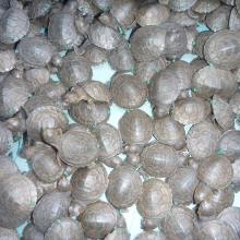
    Nouveaux-nés de Erymnochelys madagascariensis
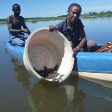
    Relache de nouveaux-nés de Erymnochelys madagascariensis

    Zones humides d'Ambondrobe

    • Country: 
      Madagascar
    • Designation date: 
      22-05-2017
    • Site number: 
      2300
    • Published since: 
      6 year(s)
    13,000 ha

Pages

Stats


Exports

Export Sites information

For a summary list of all the Ramsar Sites in pdf format, click here.

Generate reports of selected Sites

You can generate a report based on the filters you have applied, in either pdf or xls format. The report will sort the results by the Site name, unless you have sorted them by another variable.

For the pdfs, you can choose whether to include the introductory text on each Site, or just show the key data in a shorter report.

To receive a report, please provide your email address and enter the text in the verification picture into the textbox.

As soon as the list has been generated an e-mail will be sent to you with the link to access the file.