Search results
Search found 24 Ramsar Sites covering 100,856 ha
- (-) Remove Region/country: Africa filter Region/country: Africa
- (-) Remove Region/country: Europe filter Region/country: Europe
- (-) Remove Region/country: Austria filter Region/country: Austria
- (-) Remove Region/country: South Africa filter Region/country: South Africa
- (-) Remove Management plan available: No filter Management plan available: No
- (-) Remove Region/country: Norway filter Region/country: Norway
Map
Materials presented on this website, particularly maps and territorial information, are as-is and as-available based on available data and do not imply the expression of any opinion whatsoever on the part of the Secretariat of the Ramsar Convention concerning the legal status of any country, territory, city or area, or of its authorities, or concerning the delimitation of its frontiers or boundaries.
List
-

Lower Inn Reservoirs
-
Country:Austria
-
Designation date:16-12-1982
-
Site number:274
-
Published since:12 year(s)
870 ha -
-
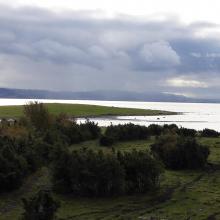
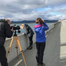
Tautra and Svaet
-
Country:Norway
-
Designation date:24-07-1985
-
Site number:311
-
Published since:6 year(s)
1,635 ha -
-
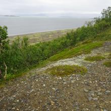

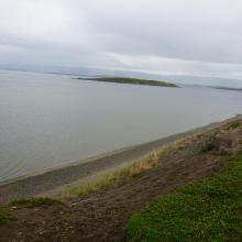
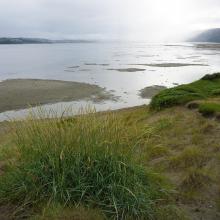


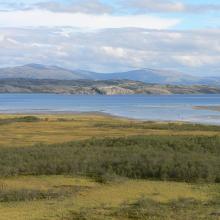
Stabbursneset
-
Country:Norway
-
Designation date:24-07-1985
-
Site number:312
-
Published since:6 year(s)
1,568 ha -
-
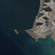
Gåsøyane
-
Country:Norway
-
Designation date:24-07-1985
-
Site number:317
-
Published since:6 year(s)
236 ha -
-
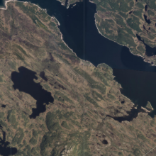
Møsvasstangen
-
Country:Norway
-
Designation date:18-03-1996
-
Site number:803
-
Published since:6 year(s)
1,441 ha -
-

Lafnitztal
-
Country:Austria
-
Designation date:20-02-2002
-
Site number:1169
-
Published since:22 year(s)
2,180 ha -
-
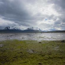

Balsfjord Wetland System
-
Country:Norway
-
Designation date:06-08-2002
-
Site number:1186
-
Published since:6 year(s)
1,795 ha -
-
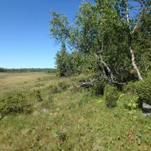

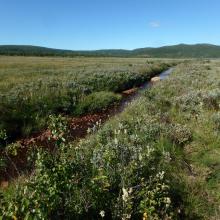
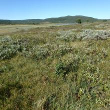
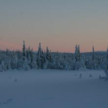

Hynna
-
Country:Norway
-
Designation date:06-08-2002
-
Site number:1191
-
Published since:6 year(s)
6,442 ha -
-

Mires of Pass Thurn
-
Country:Austria
-
Designation date:02-02-2004
-
Site number:1367
-
Published since:20 year(s)
190 ha -
-

Mires of the Sauerfelder Wald
-
Country:Austria
-
Designation date:02-02-2004
-
Site number:1368
-
Published since:20 year(s)
119 ha -
