Search results

Map

Choose map: | | Download Centroids / Boundaries / Map (pdf)
Materials presented on this website, particularly maps and territorial information, are as-is and as-available based on available data and do not imply the expression of any opinion whatsoever on the part of the Secretariat of the Ramsar Convention concerning the legal status of any country, territory, city or area, or of its authorities, or concerning the delimitation of its frontiers or boundaries.

List

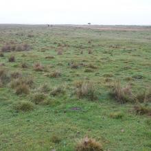
  1. grazed wetland
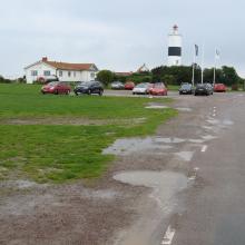
    Ottenby Naturum, The Ottenby bird observatory and lighthouse Långe Jan
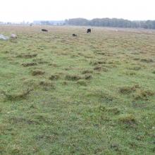
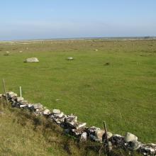
    Vast area of grazed wetland

    Ottenby

    • Country: 
      Sweden
    • Designation date: 
      05-12-1974
    • Site number: 
      17
    • Published since: 
      5 year(s)
    1,856 ha
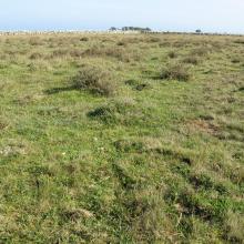
  2. The southern sub site. Well grazed wetland close to shore
    The southern sub site. Well grazed Dasiphora fruticosa
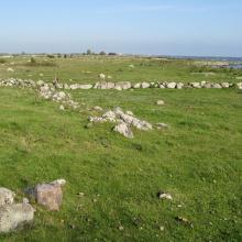
    The central sub site. Grazed wetland near the shoreline
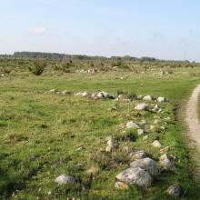
    The central sub site. Dryer land with occurrence of bush dominated by Juniperus communis ssp. communis
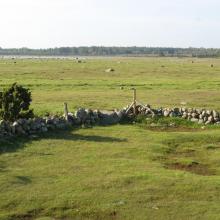
    The northern sub site. Well managed wetland.
    The northern sub site. A small ditch is crossing the wetland.

    Ölands ostkust

    • Country: 
      Sweden
    • Designation date: 
      05-12-1974
    • Site number: 
      18
    • Published since: 
      5 year(s)
    10,718 ha
  3. lac khar
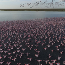
    grand lac (envol de flamants nains)
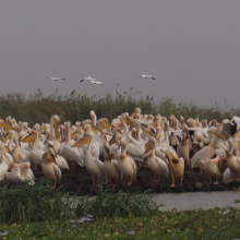
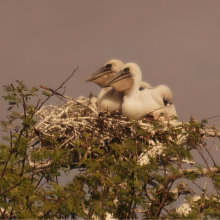
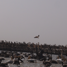
    pélicans en reproduction au djoudj
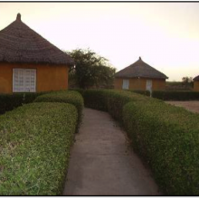
    campement écotouristique des communautés riveraines du parc
    crocodile du nil au bord du marigot du djoudj
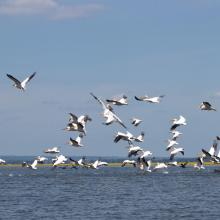
    flamants roses en vol au dessus de la rivière Gorom
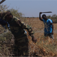
    activité d'aménagement par les agents du parc (signalétique)
    activité d'amenagement d'un lac par les volontaires écogardes du parc
    héronnière de la zone du crocodile (zone nord du parc)
    poussins de pelicans gris (canal du crocodile)
    image du canal du crocodile
    nichoir des pélicans
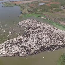
    vue aérienne du nichoir des pélicans
    python de Seba
    vue aérienne du marigot du djoudj

    Parc National des Oiseaux du Djoudj

    • Country: 
      Senegal
    • Designation date: 
      11-07-1977
    • Site number: 
      138
    • Published since: 
      7 year(s)
    16,000 ha
  4. Les populations de limicole dans l’interface désert-océan
    Les bancs et chenaux en basse marée

    Parc National du Banc d'Arguin

    • Country: 
      Mauritania
    • Designation date: 
      22-10-1982
    • Site number: 
      250
    • Published since: 
      25 year(s)
    1,200,000 ha
  5. Durankulak Lake
    Durankulak, east side and Black Sea

    Durankulak Lake

    • Country: 
      Bulgaria
    • Designation date: 
      28-11-1984
    • Site number: 
      293
    • Published since: 
      4 year(s)
    1,371 ha
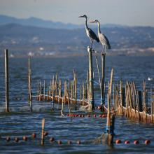
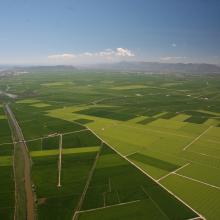
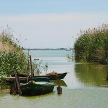
  6. L’Albufera. Sistema de pesca tradicional (redolín)
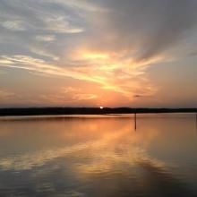
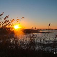
    L’Albufera. Puesta de sol
    L’Albufera. Vista aérea de la restinga costera
    L’Albufera. Vista aérea del bosque de la Devesa y de la Mata del Fang.
    L’Albufera. Vista aérea del arrozal en época de cultivo
    L’Albufera. Avifauna en el arrozal inundado.
    L’Albufera. Barcas tradicionales de pesca (albuferencs)
    L’Albufera. Imagen de los años 50 de navegación con vela latina
    L’Albufera. Arrozal inundado y construcciones industriales tradicionales

    L'Albufera

    • Country: 
      Spain
    • Designation date: 
      05-12-1989
    • Site number: 
      454
    • Published since: 
      3 year(s)
    20,956 ha
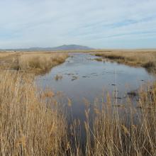
  7. Prat de Cabanes-Torreblanca. Panorámica de turberas alcalinas en Torreblanca
    Prat de Cabanes-Torreblanca. Dunas fósiles y litoral de cantos rodados en Cabanes
    Prat de Cabanes-Torreblanca. Cordón litoral de cantos rodados
    Prat de Cabanes-Torreblanca. Atardecer en Cabanes
    Prat de Cabanes-Torreblanca. Playa de Cabanes
    Prat de Cabanes-Torreblanca. Lagunas y carrizal 1
    Prat de Cabanes-Torreblanca. Lagunas y carrizal 2

    Prat de Cabanes-Torreblanca

    • Country: 
      Spain
    • Designation date: 
      05-12-1989
    • Site number: 
      458
    • Published since: 
      3 year(s)
    848 ha
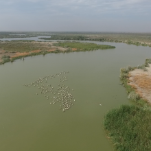
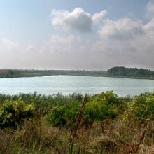
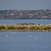
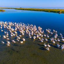
  8. Sasyk Lake
    Sasyk Lake
    Sasyk Lake
    Sasyk Lake

    Sasyk Lake

    • Country: 
      Ukraine
    • Designation date: 
      28-02-1997
    • Site number: 
      762
    • Published since: 
      1 year(s)
    23,488 ha
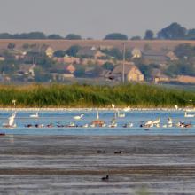
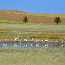
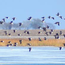
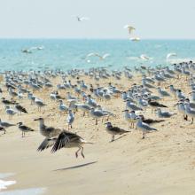
  9. Birds in the estuaries
    Birds in the estuaries
    Burnas
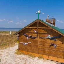
    Eco-educational center
    Birds in the estuaries
    Birds in the estuaries
    Tuzly Limans. Autumn
    Birds in the estuaries
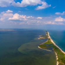
    A sand spit of Tuzlivski Limans

    Shagany-Alibei-Burnas Lakes System

    • Country: 
      Ukraine
    • Designation date: 
      28-02-1997
    • Site number: 
      763
    • Published since: 
      1 year(s)
    27,600 ha
  10. Northern Part of the Dniester Liman
    Northern Part of the Dniester Liman
    Northern Part of the Dniester Liman

    Northern Part of the Dniester Liman

    • Country: 
      Ukraine
    • Designation date: 
      28-02-1997
    • Site number: 
      765
    • Published since: 
      1 year(s)
    25,929 ha

Pages

Stats


Exports

Export Sites information

For a summary list of all the Ramsar Sites in pdf format, click here.

Generate reports of selected Sites

You can generate a report based on the filters you have applied, in either pdf or xls format. The report will sort the results by the Site name, unless you have sorted them by another variable.

For the pdfs, you can choose whether to include the introductory text on each Site, or just show the key data in a shorter report.

To receive a report, please provide your email address and enter the text in the verification picture into the textbox.

As soon as the list has been generated an e-mail will be sent to you with the link to access the file.