Search results

Map

Choose map: | | Download Centroids / Boundaries / Map (pdf)
Materials presented on this website, particularly maps and territorial information, are as-is and as-available based on available data and do not imply the expression of any opinion whatsoever on the part of the Secretariat of the Ramsar Convention concerning the legal status of any country, territory, city or area, or of its authorities, or concerning the delimitation of its frontiers or boundaries.

List

  1. Ramsar logo

    Baie de Khnifiss

    • Country: 
      Morocco
    • Designation date: 
      20-06-1980
    • Site number: 
      209
    • Published since: 
      19 year(s)
    20,000 ha
  2. pêche d'anguille au lac Tonga
    Aulnaie du Tonga
    Lac Tonga

    Réserve Intégrale du Lac Tonga

    • Country: 
      Algeria
    • Designation date: 
      11-04-1983
    • Site number: 
      281
    • Published since: 
      6 year(s)
    2,700 ha
  3. Zone d'Akaka/Rembo-Eshira
    Zone d'Akaka/Rembo-Eshira
    Zone de la Louri
    Sous-bois d'Ignoungou

    Petit Loango

    • Country: 
      Gabon
    • Designation date: 
      30-12-1986
    • Site number: 
      352
    • Published since: 
      7 year(s)
    150,869 ha
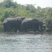
  4. Papyrus sur le fleuve Nyanga, Mougagara
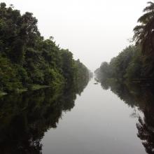
    Chenal sur le fleuve Nyanga
    Navigation sur le fleuve Nyanga
    Paysage Mayonami
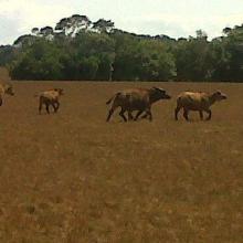
    Buffle de Setté-Cama près de Gamba
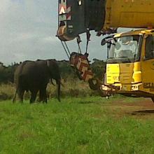
    Éléphant dans un site pétrolier
    Oiseau près de Mougagara
    Embouchure de Ndougou, site des pélicans
    Traversée des éléphants sur la Ndougou

    Setté Cama

    • Country: 
      Gabon
    • Designation date: 
      30-12-1986
    • Site number: 
      353
    • Published since: 
      7 year(s)
    240,000 ha
  5. W-Niger
    W-Niger
    W-Niger
    W-Niger
    W-Niger

    Parc national du W

    • Country: 
      Niger
    • Designation date: 
      30-04-1987
    • Site number: 
      355
    • Published since: 
      6 year(s)
    385,000 ha
  6. Ramsar logo

    Lake Nakuru

    • Country: 
      Kenya
    • Designation date: 
      05-06-1990
    • Site number: 
      476
    • Published since: 
      19 year(s)
    18,800 ha
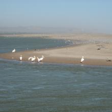
  7. The Orange River Mouth from the Namibian side looking south.  Pelicans, cormorants and large flocks of terns are using the sandspit as a roost.
    Great White Pelicans (Pelecanus onocrotalus) and large flocks of terns (Sterna sp.) at the Orange River Mouth.
    View of the Orange River Mouth from Swartkop looking west.  The river mouth is in the centre of the picture.
    View of the Oppenheimer bridge from Swartkop.

    Orange River Mouth

    • Country: 
      Namibia
    • Designation date: 
      23-08-1995
    • Site number: 
      744
    • Published since: 
      28 year(s)
    500 ha
  8. Traversée Parc National d'Azagny
    Mangroves
    Traversée Parc National d'Azagny

    Parc National d’Azagny

    • Country: 
      Côte d'Ivoire
    • Designation date: 
      27-02-1996
    • Site number: 
      790
    • Published since: 
      5 year(s)
    19,400 ha
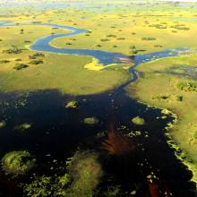
  9. White
-
faced ducks in the floodplains of the southern Okavango
    Peak flood near Duba, where the Okavango Panhandle first fans out
     Underwater sand bars near Xo Flats, central Okavango
    the Boteti River receiving new floods at Samedupi.

    Okavango Delta System

    • Country: 
      Botswana
    • Designation date: 
      09-12-1996
    • Site number: 
      879
    • Published since: 
      3 year(s)
    5,537,400 ha
  10. Le lac Toho
    Mirador sur la portion sacrée de la lagune côtière à Ahloboe dans la commune de Ouidah
    Cormoran sur les piquets d'Acadja sur le Lac Ahémé
    Coucher du soleil sur la lagune côtière à Grand-Popo
    Lâcher de jeunes tortues marines à Grand-Popo
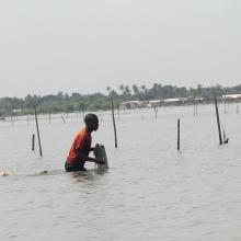
    Pêcheur sur le Lac Ahémé
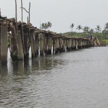
    Pont de fortune sur la lagune côtière dans la commune de Ouidah
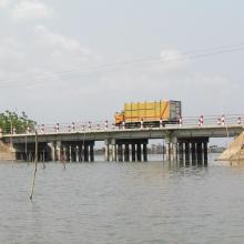
    Pont entre le Lac Ahémé et le Chenal Aho sur la Route Nationale Inter Etat Cotonou-Lomé
    Portion de mangrove sacralisée sur la lagune côtière à Grand-Popo
    En route pour la visite de l'Aire Communautaire de Conservation de la Biodiversité de la Bouche du Roy à Grand-Popo

    Basse Vallée du Couffo, Lagune Côtiere, Chenal Aho, Lac Ahémé

    • Country: 
      Benin
    • Designation date: 
      24-01-2000
    • Site number: 
      1017
    • Published since: 
      4 year(s)
    524,289 ha

Pages

Stats


Exports

Export Sites information

For a summary list of all the Ramsar Sites in pdf format, click here.

Generate reports of selected Sites

You can generate a report based on the filters you have applied, in either pdf or xls format. The report will sort the results by the Site name, unless you have sorted them by another variable.

For the pdfs, you can choose whether to include the introductory text on each Site, or just show the key data in a shorter report.

To receive a report, please provide your email address and enter the text in the verification picture into the textbox.

As soon as the list has been generated an e-mail will be sent to you with the link to access the file.