Search results

Map

Choose map: | | Download Centroids / Boundaries / Map (pdf)
Materials presented on this website, particularly maps and territorial information, are as-is and as-available based on available data and do not imply the expression of any opinion whatsoever on the part of the Secretariat of the Ramsar Convention concerning the legal status of any country, territory, city or area, or of its authorities, or concerning the delimitation of its frontiers or boundaries.

List

  1. Lac Télé
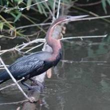
    Anhinga rufa
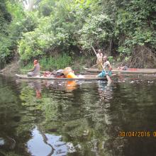
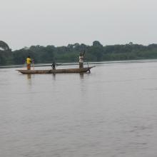
    Femmes naviguant sur la Likouala-aux-herbes
    Gorilla gorilla gorilla (la mère et son petit)
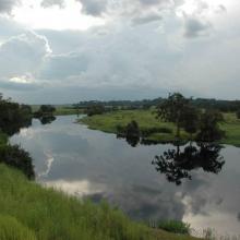
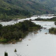
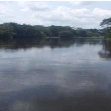
    Rivière Likouala-aux-herbes

    Lac Télé/Likouala-aux-herbes

    • Country: 
      Congo
    • Designation date: 
      18-06-1998
    • Site number: 
      950
    • Published since: 
      6 year(s)
    438,960 ha
  2. paysage
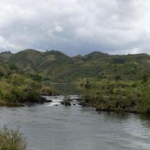
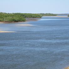
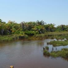
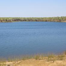
    paysage
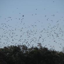
    chauve-souris
    chauve-souris
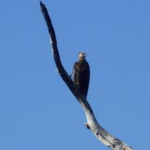
    aigle pêcheur de Madagascar
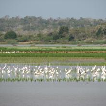
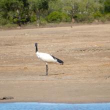
    communautés aviaires

    Complexe des lacs de Manambolomaty

    • Country: 
      Madagascar
    • Designation date: 
      25-09-1998
    • Site number: 
      963
    • Published since: 
      7 year(s)
    7,491 ha
  3. marais de Torotorofotsy
    marais de Torotorofotsy
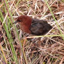
    Sarothrura watersi
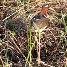
    Rostratula benghalensis

    Marais de Torotorofotsy avec leurs bassins versants

    • Country: 
      Madagascar
    • Designation date: 
      02-02-2005
    • Site number: 
      1453
    • Published since: 
      7 year(s)
    9,993 ha
  4. lac Bedo

    Zones humides de Bedo

    • Country: 
      Madagascar
    • Designation date: 
      12-05-2007
    • Site number: 
      1686
    • Published since: 
      7 year(s)
    1,962 ha
  5. Le cours de la rivière Alima
    Pêche « Lufuma » pour la prise de Mormyrops deliciosus sur le fleuve Congo à Likenze (Loukolela)
    Palmeraie à Elais guineensis pour la
récolte du vin de palme
    Partie de pêche au filet dérivant exercée par les femmes sur le fleuve Congo à Konzolo (Mossaka)
     Navigation sur la rivière Alima

    Grands affluents

    • Country: 
      Congo
    • Designation date: 
      13-12-2007
    • Site number: 
      1742
    • Published since: 
      6 year(s)
    5,908,074 ha
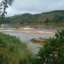
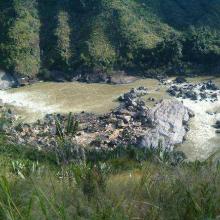
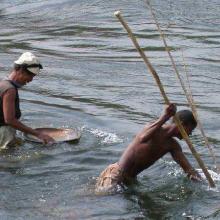
  6. Rivière Nosivolo et affluents (District Mahanoro et Marolambo)
    Rivière Nosivolo et affluents (District Mahanoro et Marolambo)
    Rivière Nosivolo et affluents (District Mahanoro et Marolambo)
    Rivière Nosivolo et affluents (District Mahanoro et Marolambo)
    Site Ramsar ‘Rivière Nosivolo et affluents’
    Site Ramsar ‘Rivière Nosivolo et affluents’
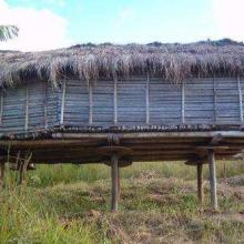
    Grenier familial à Nosivolo
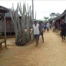
    ‘Jiro’ à Nosivolo
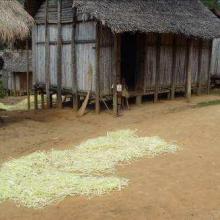
    Maison traditionnelle à Nosivolo avec séchage de Raphia
    Anas erythrorhyncha et Dendrocygna viduata
    Destruction des marécages (forêt de raphia) par l’orpaillage et la construction de la rizière
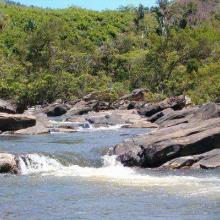
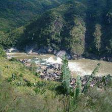
    Eau rapide et rocailleux de la rivière
    Eau calme
    Paysage de la rivière Nosivolo avec des terrains de culture vivrière sur  le bassin versant

    Rivière Nosivolo et affluents

    • Country: 
      Madagascar
    • Designation date: 
      17-09-2010
    • Site number: 
      1916
    • Published since: 
      7 year(s)
    358,511 ha
  7. Rivière Dziélé en amont de Lékéti
    Confluence des rivières Lékéti et Dziélé au port de Lékéti
    Lac couvert de Ngalibali à proximité du village Lékéti

    Leketi-Mbama

    • Country: 
      Congo
    • Designation date: 
      02-02-2015
    • Site number: 
      2222
    • Published since: 
      8 year(s)
    774,965 ha
  8. La rivière Kouyou en amont (vers Ngoko)
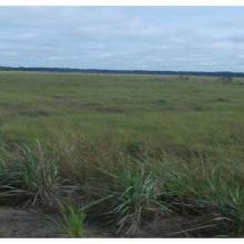
    Savane inondée, site Tchicapika-Owando
    Rivière Locko

    Tchicapika-Owando

    • Country: 
      Congo
    • Designation date: 
      02-02-2015
    • Site number: 
      2223
    • Published since: 
      8 year(s)
    970,166 ha
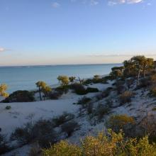
  9. Baie de Beheloka
    parcelle 7 et 8
    plage zone de ponte
    plage zone de ponte
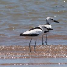
    Dromas adreola
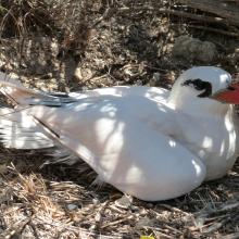
    Phaethon rubricauda
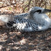
    Phaethon rubricauda
    Sterna bengalensis

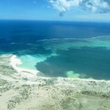
    Barrière de Corail Nosy Ve Androka

    • Country: 
      Madagascar
    • Designation date: 
      02-02-2017
    • Site number: 
      2285
    • Published since: 
      7 year(s)
    91,445 ha
  10. Mangroves d'Antrema
    `Succession de mangroves
    Marécages raphières
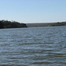
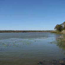
    Lac Sahariake
    Site de restauration de mangroves
    Graines de Rhizophora mucronata
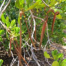
    Fruits de Bruguiera gymnorrhiza
    Threskiornis bernieri
    Platalea alba
    Charadrius marginatus
    Haliaeetus vociferoides
    Propithecus coronatus
    Eulemur fulvus
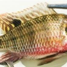
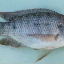
    Tilapia zilii
    Tilapia rendalli
    Pratilapia polleni
    Oreochromis mossambicus

    Site Bioculturel d'Antrema

    • Country: 
      Madagascar
    • Designation date: 
      02-02-2017
    • Site number: 
      2286
    • Published since: 
      7 year(s)
    20,620 ha

Pages

Stats


Exports

Export Sites information

For a summary list of all the Ramsar Sites in pdf format, click here.

Generate reports of selected Sites

You can generate a report based on the filters you have applied, in either pdf or xls format. The report will sort the results by the Site name, unless you have sorted them by another variable.

For the pdfs, you can choose whether to include the introductory text on each Site, or just show the key data in a shorter report.

To receive a report, please provide your email address and enter the text in the verification picture into the textbox.

As soon as the list has been generated an e-mail will be sent to you with the link to access the file.