Search results

Map

Choose map: | | Download Centroids / Boundaries / Map (pdf)
Materials presented on this website, particularly maps and territorial information, are as-is and as-available based on available data and do not imply the expression of any opinion whatsoever on the part of the Secretariat of the Ramsar Convention concerning the legal status of any country, territory, city or area, or of its authorities, or concerning the delimitation of its frontiers or boundaries.

List

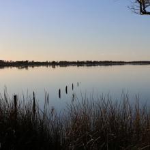
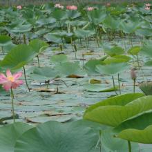
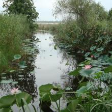
  1. View of Amirkelayeh- Nelumbo nucifera
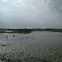
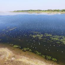
    View of amirkelayeh wetland from the horbour
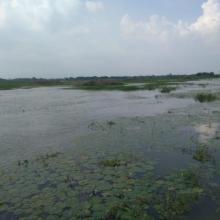
    an amazing view of Nymphaea nouchali community in Amirkelayeh

    Amirkelayeh Lake

    • Country: 
      Iran (Islamic Republic of)
    • Designation date: 
      23-06-1975
    • Site number: 
      47
    • Published since: 
      1 year(s)
    1,132 ha
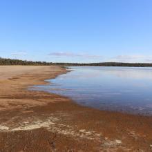
  2. Byenup Lagoon, Muir Byenup System Ramsar site
    Lake Muir, Muir Byenup Ramsar site
    Tordit-Gurrup Lagoon, Muir Byenup Ramsar site

    Muir-Byenup System

    • Country: 
      Australia
    • Designation date: 
      05-01-2001
    • Site number: 
      1050
    • Published since: 
      1 year(s)
    10,631 ha
  3. Inundate forest at Prek Toal Ramsar site
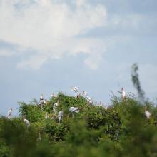
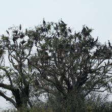
    Bird colony inside Prek Toal Ramsar site
    Bird colony inside Prek Toal
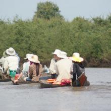
    Tourist visit to Prek Toal Ramsar site
    Spot-billed Pelican nest in Prek Toal Ramsar site
    Greater Adjutant and Painted stork nest in Prek Toal Ramsar site
    Darter nest in Prek Toal Ramsar site

    Prek Toal Ramsar Site

    • Country: 
      Cambodia
    • Designation date: 
      02-10-2015
    • Site number: 
      2245
    • Published since: 
      8 year(s)
    21,342 ha
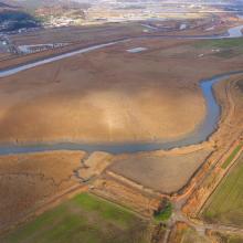
  4. rice paddies located south from the mouth of Dongcheon Estuary
    Dongcheon river and rice paddies, north from the mouth of Dongcheon Estuary
    Confluence between Dongchean and Yisacheon rivers

    Dongcheon Estuary

    • Country: 
      Republic of Korea
    • Designation date: 
      20-01-2016
    • Site number: 
      2269
    • Published since: 
      7 year(s)
    540 ha
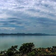
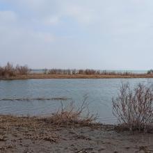
  5. The evening scene of Wanghu
    Fuhe River eocosystem
    Summer scenery of Wanghu
    Habitat of  Wuzhuazui

    Hubei Wang Lake

    • Country: 
      China
    • Designation date: 
      08-01-2018
    • Site number: 
      2349
    • Published since: 
      5 year(s)
    20,495 ha
  6. NMWLS Wetland Aerial View
    Riverine Forest
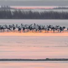
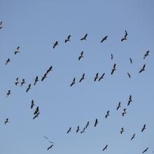
    Birds Flock
    Ducks Assemblage
    Comman Crane Flock
    Small Pratincole Flock
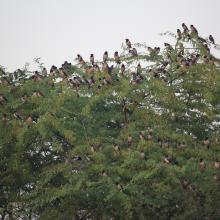
    Rosy Starling Flock

    Nandur Madhameshwar

    • Country: 
      India
    • Designation date: 
      21-06-2019
    • Site number: 
      2410
    • Published since: 
      4 year(s)
    1,437 ha
  7. A panoramic view of Sarsai Nawar
    The wide span of Sarsai Nawar
    Aquatic vegetation at Sarsai Nawar bird Sanctuary

    Sarsai Nawar Jheel

    • Country: 
      India
    • Designation date: 
      19-09-2019
    • Site number: 
      2411
    • Published since: 
      4 year(s)
    161 ha
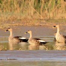
  8. Indian spot-bill duck at Keshopur-miani community reserve
    Common Crane
    Sarus Crane at Keshopur-miani community reserve
    View of Keshopur-miani community reserve
    Aquaculture Pond at Keshopur-miani community reserve
    Another view of Keshopur-miani community reserve

    Keshopur-Miani Community Reserve

    • Country: 
      India
    • Designation date: 
      26-09-2019
    • Site number: 
      2414
    • Published since: 
      4 year(s)
    344 ha
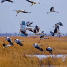
  9. Cygnus columbianus
    Ciconia boyciana
    Ciconia boyciana
    Grus grus

    Tianjin Beidagang Wetlands

    • Country: 
      China
    • Designation date: 
      03-02-2020
    • Site number: 
      2425
    • Published since: 
      3 year(s)
    1,130 ha
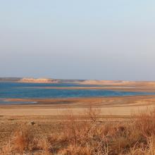
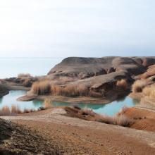
  10. Tudakul reservoir
    Kuymazar reservoir
    Kuymazar  reservoir
    Kuymazar  reservoir
    Vegetation on the shore of the Tudakul reservoir

    Tudakul and Kuymazar Water Reservoirs

    • Country: 
      Uzbekistan
    • Designation date: 
      19-08-2020
    • Site number: 
      2433
    • Published since: 
      3 year(s)
    32,000 ha

Pages

Stats


Exports

Export Sites information

For a summary list of all the Ramsar Sites in pdf format, click here.

Generate reports of selected Sites

You can generate a report based on the filters you have applied, in either pdf or xls format. The report will sort the results by the Site name, unless you have sorted them by another variable.

For the pdfs, you can choose whether to include the introductory text on each Site, or just show the key data in a shorter report.

To receive a report, please provide your email address and enter the text in the verification picture into the textbox.

As soon as the list has been generated an e-mail will be sent to you with the link to access the file.