Search results

Map

Choose map: | | Download Centroids / Boundaries / Map (pdf)
Materials presented on this website, particularly maps and territorial information, are as-is and as-available based on available data and do not imply the expression of any opinion whatsoever on the part of the Secretariat of the Ramsar Convention concerning the legal status of any country, territory, city or area, or of its authorities, or concerning the delimitation of its frontiers or boundaries.

List

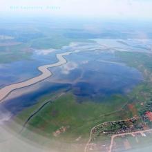
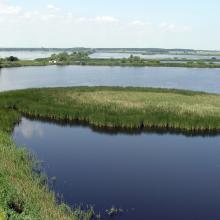
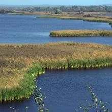
  1. Jijia
    Jijia
    Jijia
    Jijia

    Jijia - Iasi Wetlands

    • Country: 
      Romania
    • Designation date: 
      13-02-2020
    • Site number: 
      2422
    • Published since: 
      3 year(s)
    19,432 ha
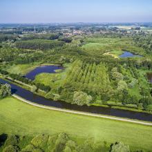
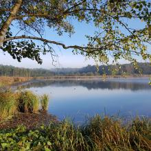
  2. Vue aérienne de la Scarpe et de la tourbière de Vred
    Tourbière de Marchiennes
    Mare à Goriaux
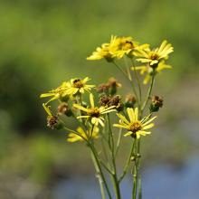
    Sénecio paludosus
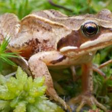
    Grenouille des champs, Rana arvalis

    Vallées de la Scarpe et de l'Escaut

    • Country: 
      France
    • Designation date: 
      02-02-2020
    • Site number: 
      2405
    • Published since: 
      4 year(s)
    27,622 ha
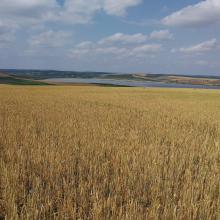
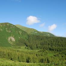
  3. Prut river flow start
    Shrubed peat-bog
    Spurce virgin wet/dry forests
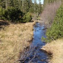
    Stream running through peat bog
    View on Tsybulnyk forested/shurbed peat bog
    A post-glacial kettle under Mount Turkul with the alpine lake Nesamovyte
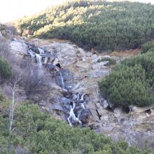
    A rivulet in the boggy cirque between the mounts of Hoverla and Breskul
    A sedge-moss bog “Tsybulnyk” under Mount Breskul

    Prut River Headwaters

    • Country: 
      Ukraine
    • Designation date: 
      20-03-2019
    • Site number: 
      2395
    • Published since: 
      4 year(s)
    4,935 ha
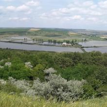
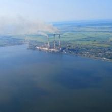
  4. View of the south-western part of the reservoir and Burshtyn thermal power station
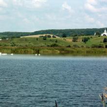
    A view of the pond for commercial fishery (in the background – Kuropatnyky Village).
    A view of the north-eastern bank of the reservoir (in the background – country cottages, a forest, and Kasova Mountain (Halytskyi NNP).
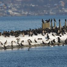
    Flocks of birds in winter.
    Flocks of birds in winter.
    Flocks of birds in winter.
    Flocks of swans.

    Burshtyn Water Reservoir

    • Country: 
      Ukraine
    • Designation date: 
      20-03-2019
    • Site number: 
      2393
    • Published since: 
      4 year(s)
    1,260 ha
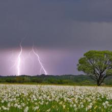
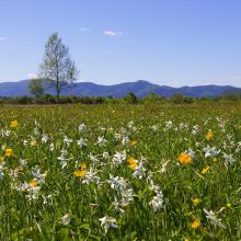
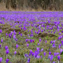
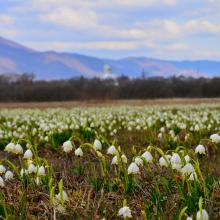
  5. Narcissi Valley
    Narcissi Valley
    Narcissi Valley
    Narcissi Valley
    Narcissi Valley
    Narcissi Valley

    Narcissi Valley

    • Country: 
      Ukraine
    • Designation date: 
      20-03-2019
    • Site number: 
      2390
    • Published since: 
      4 year(s)
    256 ha
  6. ponds
    ponds

    Przemków Fish Ponds

    • Country: 
      Poland
    • Designation date: 
      09-04-2015
    • Site number: 
      2320
    • Published since: 
      6 year(s)
    4,605 ha
  7. Lido et étang de Salses-Leucate
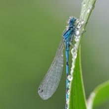
    Agrion de Mercure
    Résurgence de Font Estramar
    Pêche petits métiers
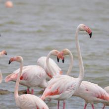
    Flamants roses
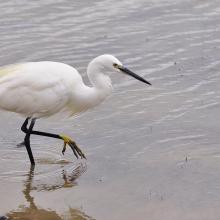
    Aigrette

    Etang de Salses-Leucate

    • Country: 
      France
    • Designation date: 
      30-06-2017
    • Site number: 
      2307
    • Published since: 
      6 year(s)
    7,637 ha
  8. Marais Vernier
    Embouchure de la Risle
    Courtils au marais Vernier

    Marais Vernier et Vallée de la Risle maritime

    • Country: 
      France
    • Designation date: 
      18-12-2015
    • Site number: 
      2247
    • Published since: 
      8 year(s)
    9,564 ha
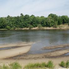
  9. The floodplain of the Dnieper River in Spring

    Dnieper River Floodplain

    • Country: 
      Belarus
    • Designation date: 
      29-05-2014
    • Site number: 
      2244
    • Published since: 
      8 year(s)
    29,353 ha
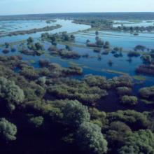
  10. Most of the site is sitiated in the Pripyat River floodplain
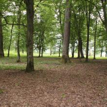
    Floodplain oak woods are very valuable biotopes.
    Large raised bogs are unique biotopes for Polesie region
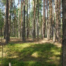
    Old-aged pine forests preserved on sand dunes among mires.
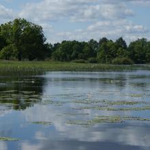
    Owbows in the Pripyat River floodplain.
    Owbows in the Pripyat River floodplain.
    Almost annually the Pripyat floodplain and adjacent villages get flooded.
    Almost annually the Pripyat floodplain and adjacent villages get flooded.

    Pripyatsky National Park

    • Country: 
      Belarus
    • Designation date: 
      29-03-2013
    • Site number: 
      2197
    • Published since: 
      3 year(s)
    88,553 ha

Pages

Stats


Exports

Export Sites information

For a summary list of all the Ramsar Sites in pdf format, click here.

Generate reports of selected Sites

You can generate a report based on the filters you have applied, in either pdf or xls format. The report will sort the results by the Site name, unless you have sorted them by another variable.

For the pdfs, you can choose whether to include the introductory text on each Site, or just show the key data in a shorter report.

To receive a report, please provide your email address and enter the text in the verification picture into the textbox.

As soon as the list has been generated an e-mail will be sent to you with the link to access the file.