Search results

Map

Choose map: | | Download Centroids / Boundaries / Map (pdf)
Materials presented on this website, particularly maps and territorial information, are as-is and as-available based on available data and do not imply the expression of any opinion whatsoever on the part of the Secretariat of the Ramsar Convention concerning the legal status of any country, territory, city or area, or of its authorities, or concerning the delimitation of its frontiers or boundaries.

List

  1. Dnister River (vicinities of the city of Halych, site “Pidkamin”)
    The Dnister oxbow lake (vicinities of the city of Halych, site “Korolivka”)
    The Dnister oxbow lake (vicinities of the village of Vodnyky)
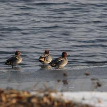
    Flock of common teal.
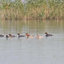
    Flock of common merganser.
    Early spring on the Dnister.
    Early spring on the Dnister.
    Early spring on the Dnister.

    Dnister River Valley

    • Country: 
      Ukraine
    • Designation date: 
      20-03-2019
    • Site number: 
      2388
    • Published since: 
      4 year(s)
    820 ha
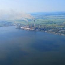
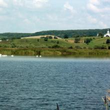
  2. View of the south-western part of the reservoir and Burshtyn thermal power station
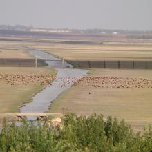
    A view of the pond for commercial fishery (in the background – Kuropatnyky Village).
    A view of the north-eastern bank of the reservoir (in the background – country cottages, a forest, and Kasova Mountain (Halytskyi NNP).
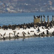
    Flocks of birds in winter.
    Flocks of birds in winter.
    Flocks of birds in winter.
    Flocks of swans.

    Burshtyn Water Reservoir

    • Country: 
      Ukraine
    • Designation date: 
      20-03-2019
    • Site number: 
      2393
    • Published since: 
      4 year(s)
    1,260 ha
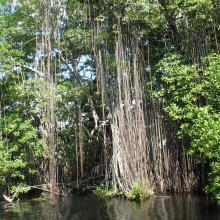
  3. Black River Lower Morass
    Black River Lower Morass
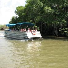
    Black River Lower Morass
    Black River Lower Morass

    Black River Lower Morass

    • Country: 
      Jamaica
    • Designation date: 
      07-10-1997
    • Site number: 
      919
    • Published since: 
      2 year(s)
    13,713 ha
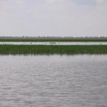
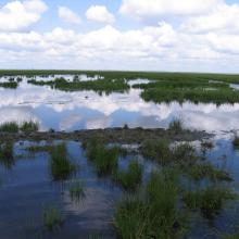
  4. Big Chapeisk Depression
    Big Chapeisk Depression
    Big Chapeisk Depression
    Big Chapeisk Depression
    Big Chapeisk Depression
    Big Chapeisk Depression

    Big Chapelsk Depression

    • Country: 
      Ukraine
    • Designation date: 
      17-11-2003
    • Site number: 
      1397
    • Published since: 
      2 year(s)
    2,359 ha
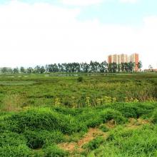
  5. Humedal Juan Amarillo
    Humedal La Vaca
    Humedal Córdoba
    Humedal Jaboque
    Humedal Juan Amarillo
    Monjita bogotana, Humedal del Burro
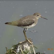
    Andarrios solitario, Humedal de la Vaca
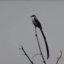
    Tijereta sabanera, Humedal de Tibanica

    Complejo de Humedales Urbanos del Distrito Capital de Bogotá

    • Country: 
      Colombia
    • Designation date: 
      06-08-2018
    • Site number: 
      2404
    • Published since: 
      4 year(s)
    667 ha
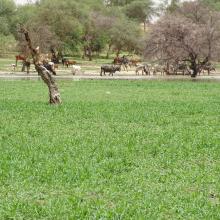
  6. Vue de la prairie aquatique et de la végétation ligneuse bordant la mare
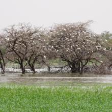
    Colonie d'oiseaux sur la végétation ligneuse
    Vue du plan d'eau

    Mare de Darkoye

    • Country: 
      Burkina Faso
    • Designation date: 
      27-02-2019
    • Site number: 
      2400
    • Published since: 
      4 year(s)
    1,716 ha
  7. mare de Yomboli à l'étiage

    Mare de Yomboli

    • Country: 
      Burkina Faso
    • Designation date: 
      27-02-2019
    • Site number: 
      2401
    • Published since: 
      4 year(s)
    835 ha
  8. Paysage de Mandrozo (Ilot sacré)
    Héron de Madagascar : Ardea humbloti (EN)
    Râle d’Olivier : Amaurornis olivieri (EN)
    Aigle pêcheur de Madagascar : Haliaeetus vociferoides (CR)
    Aigle pêcheur de Madagascar : Haliaeetus vociferoides (CR)
    Eulemur rufus
    Pépinière
    Vue ensemble lac Mandrozo
    pêcheur

    Zone Humide de Mandrozo

    • Country: 
      Madagascar
    • Designation date: 
      05-06-2012
    • Site number: 
      2049
    • Published since: 
      4 year(s)
    15,145 ha
  9. Champ de céréale
    Vue générale du site
    Avifaune au niveau du site

    Sebkhet El Hamiet

    • Country: 
      Algeria
    • Designation date: 
      12-12-2004
    • Site number: 
      1428
    • Published since: 
      4 year(s)
    2,509 ha
  10. Le lac Toho
    Mirador sur la portion sacrée de la lagune côtière à Ahloboe dans la commune de Ouidah
    Cormoran sur les piquets d'Acadja sur le Lac Ahémé
    Coucher du soleil sur la lagune côtière à Grand-Popo
    Lâcher de jeunes tortues marines à Grand-Popo
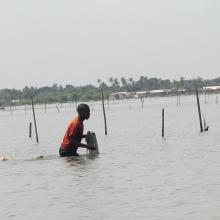
    Pêcheur sur le Lac Ahémé
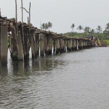
    Pont de fortune sur la lagune côtière dans la commune de Ouidah
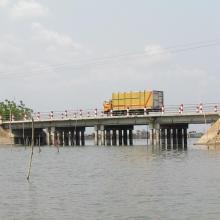
    Pont entre le Lac Ahémé et le Chenal Aho sur la Route Nationale Inter Etat Cotonou-Lomé
    Portion de mangrove sacralisée sur la lagune côtière à Grand-Popo
    En route pour la visite de l'Aire Communautaire de Conservation de la Biodiversité de la Bouche du Roy à Grand-Popo

    Basse Vallée du Couffo, Lagune Côtiere, Chenal Aho, Lac Ahémé

    • Country: 
      Benin
    • Designation date: 
      24-01-2000
    • Site number: 
      1017
    • Published since: 
      4 year(s)
    524,289 ha

Pages

Stats


Exports

Export Sites information

For a summary list of all the Ramsar Sites in pdf format, click here.

Generate reports of selected Sites

You can generate a report based on the filters you have applied, in either pdf or xls format. The report will sort the results by the Site name, unless you have sorted them by another variable.

For the pdfs, you can choose whether to include the introductory text on each Site, or just show the key data in a shorter report.

To receive a report, please provide your email address and enter the text in the verification picture into the textbox.

As soon as the list has been generated an e-mail will be sent to you with the link to access the file.