Search results
Search found 301 Ramsar Sites covering 7,611,602 ha
- (-) Remove Region/country: Oceania filter Region/country: Oceania
- (-) Remove Picture available?: Yes filter Picture available?: Yes
- (-) Remove Region/country: Africa filter Region/country: Africa
- (-) Remove Region/country: New Zealand filter Region/country: New Zealand
- (-) Remove Region/country: Europe filter Region/country: Europe
- (-) Remove Region/country: Eswatini filter Region/country: Eswatini
- (-) Remove Region/country: Morocco filter Region/country: Morocco
- (-) Remove Threats: Agriculture & aquaculture filter Threats: Agriculture & aquaculture
- (-) Remove Region/country: Asia filter Region/country: Asia
- (-) Remove Ramsar criteria: 3 filter Ramsar criteria: 3
Map
Materials presented on this website, particularly maps and territorial information, are as-is and as-available based on available data and do not imply the expression of any opinion whatsoever on the part of the Secretariat of the Ramsar Convention concerning the legal status of any country, territory, city or area, or of its authorities, or concerning the delimitation of its frontiers or boundaries.
List
-
Koppången
-
Country:Sweden
-
Designation date:19-03-2013
-
Site number:2171
-
Published since:7 year(s)
4,936 ha -
-
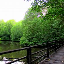
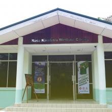
Kota Kinabalu Wetland
-
Country:Malaysia
-
Designation date:22-10-2016
-
Site number:2290
-
Published since:7 year(s)
24 ha -
-
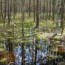
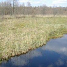
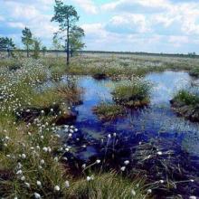

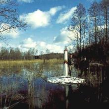

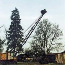
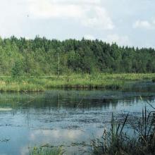
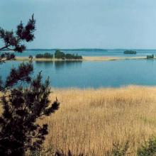
Kotra
-
Country:Belarus
-
Designation date:21-10-2002
-
Site number:1216
-
Published since:8 year(s)
10,464 ha -
-
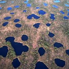


Kozyansky
-
Country:Belarus
-
Designation date:29-03-2013
-
Site number:2196
-
Published since:3 year(s)
28,469 ha -
-
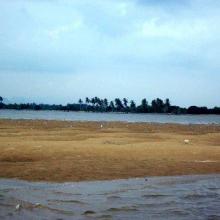
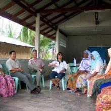
Krabi Estuary
-
Country:Thailand
-
Designation date:05-07-2001
-
Site number:1100
-
Published since:23 year(s)
21,299 ha -
-
Kryva Bay and Kryva Spit
-
Country:Ukraine
-
Designation date:28-02-1997
-
Site number:774
-
Published since:2 year(s)
11,861 ha -
-
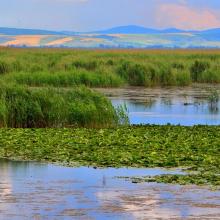

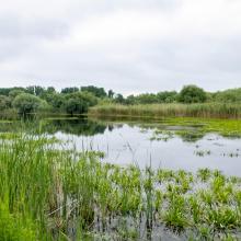


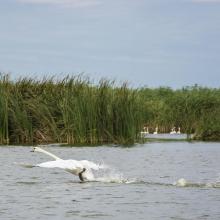
Kugurlui Lake
-
Country:Ukraine
-
Designation date:28-02-1997
-
Site number:760
-
Published since:2 year(s)
13,493 ha -
-

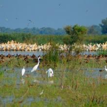
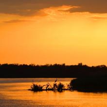
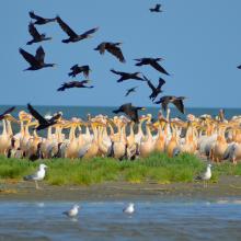
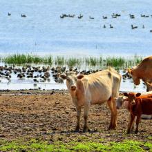
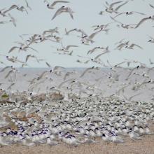
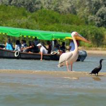
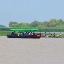
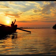
Kyliiske Mouth
-
Country:Ukraine
-
Designation date:11-10-1976
-
Site number:113
-
Published since:1 year(s)
44,904 ha -
-
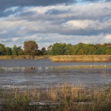

La Brenne
-
Country:France
-
Designation date:05-04-1991
-
Site number:518
-
Published since:5 year(s)
140,000 ha -
-
Lac Baai
-
Country:Netherlands (Kingdom of the)
-
Designation date:23-05-1980
-
Site number:199
-
Published since:2 year(s)
1,550 ha -


