Search results

Map

Choose map: | | Download Centroids / Boundaries / Map (pdf)
Materials presented on this website, particularly maps and territorial information, are as-is and as-available based on available data and do not imply the expression of any opinion whatsoever on the part of the Secretariat of the Ramsar Convention concerning the legal status of any country, territory, city or area, or of its authorities, or concerning the delimitation of its frontiers or boundaries.

List

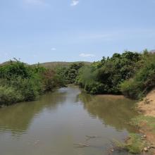
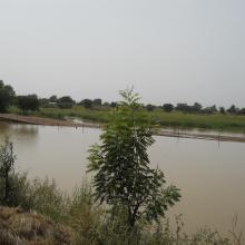
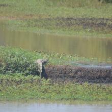
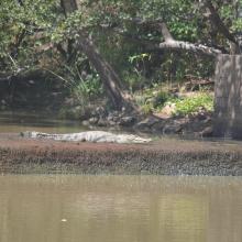
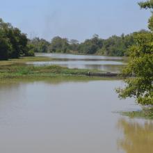
  1. Mare Yanguali dans la plaine d’inondation de la Rivière Pendjari
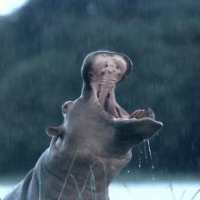
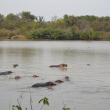
    Mares au Hippo dans la plaine d’inondation de la rivière Pendjari
    Mare Yanguali dans la plaine d’inondation de la Rivière Pendjari

    Zone Humide de la Rivière Pendjari

    • Country: 
      Benin
    • Designation date: 
      02-02-2007
    • Site number: 
      1669
    • Published since: 
      5 year(s)
    483,366 ha
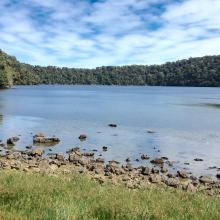
  2. Lac Matsaborimena
    Marécage de Marotaolana
    Lac Andriakanala
    Lac Andriakanala
    Forêt galerie de Bemanevika
    Paysage forestier de Bemanevika
    Formation galerie sur marécage
    Lac Maramarantsalegy
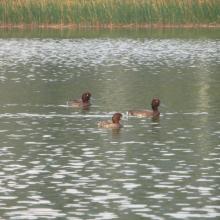
    Aythya inotata
    Elévage en captivité de Aythya inotata
    Gallinula chloropus
    Cyex madagascariensis
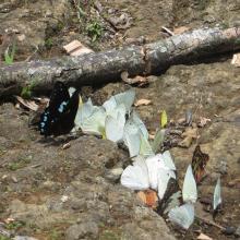
    Papillons de Bemanevkia
    Calumma hafahafa

    Complexe des Zones Humides de Bemanevika

    • Country: 
      Madagascar
    • Designation date: 
      02-02-2017
    • Site number: 
      2287
    • Published since: 
      7 year(s)
    10,000 ha
  3. Le fleuve Onilahy
    Fourrée xérophytes
    Champs de culture autour du fleuve
    Fourrée xérophytes à Euphorbia
    Riziculture dans la basse vallée de l'Onilahy
    Plantation de mais sur le Baiboho
    Forêt ripicole
    Forêt ripicole le long de l'Onilahy
    Vue sur le fleuve Onilahy
    Un des sept lacs à Ifanoto
    Buteo brachypterus

    Zones humides de l'Onilahy

    • Country: 
      Madagascar
    • Designation date: 
      22-05-2017
    • Site number: 
      2304
    • Published since: 
      6 year(s)
    42,950 ha
  4. Forêt à mangrove
    Banc de sable marin
    Rivage  de sable fin
    Lagune de Yombo
    Forêt à raphiales
    Fleuve Kouilou
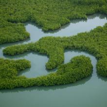
    Forêt à mangrove

    Bas-Kouilou-Yombo

    • Country: 
      Congo
    • Designation date: 
      25-09-2017
    • Site number: 
      2325
    • Published since: 
      6 year(s)
    55,124 ha
  5. Beauty of Begnas and Rupa Lake
    Dipang Lake
    Gude Lake
    Khaste Lake
    Phewa Lake
    Rupa Lake
    Niurini Lake
    Maidi Lake
    Sunset in Begnas Lake

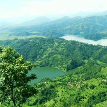
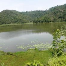
    Lake Cluster of Pokhara Valley

    • Country: 
      Nepal
    • Designation date: 
      02-02-2016
    • Site number: 
      2257
    • Published since: 
      8 year(s)
    26,106 ha
  6. Vue berge
    Vue berge
    Tougouri
    Tougouri
    Tougouri
    Tougouri
    Tougouri
    Tougouri
    Tougouri
    Tougouri

    Barrage de Tougouri

    • Country: 
      Burkina Faso
    • Designation date: 
      02-02-2016
    • Site number: 
      2253
    • Published since: 
      8 year(s)
    1,221 ha
  7. W-Niger
    W-Niger
    W-Niger
    W-Niger
    W-Niger

    Parc national du W

    • Country: 
      Niger
    • Designation date: 
      30-04-1987
    • Site number: 
      355
    • Published since: 
      6 year(s)
    385,000 ha
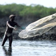
  8. Pêcheur traditionnel
    Mangrove
    Hippopotame
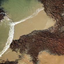
    Littoral, vue aérienne
    Vue aérienne
    Pélican
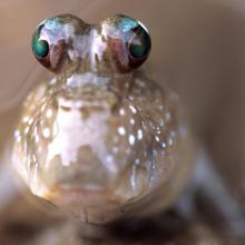
    Périophtalme
    Vue aérienne
    Oiseaux
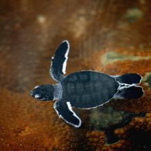
    Bébé tortue
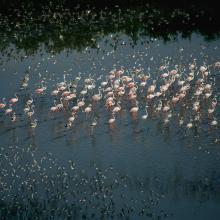
    Flamants
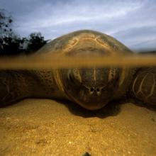
    Tortue marine adulte
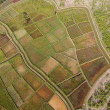
    Rizières
    Village Bijagós, vue aérienne
    Bébé tortue

    Archipel Bolama-Bijagós

    • Country: 
      Guinea-Bissau
    • Designation date: 
      14-01-2014
    • Site number: 
      2198
    • Published since: 
      10 year(s)
    1,046,950 ha
  9. Photo 1: Vue du plan d'eau
    Photo 2 : Forêt classée compris dans les limites du site Ramsar
    Photo 3 : Paysage autour du site
    Photo 4 : Vue du poste forestier construit par le projet COGEL, pour la surveillance du Site
    Photo 5 : Pompage de l'eau pour la production maraîchère
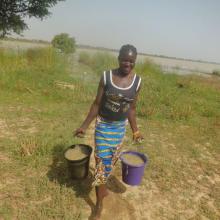
    Photo 6 : Participation des femmes à la culture maraîchère
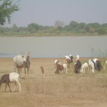
    Photo 7 : Abreuvement du bétail dans le Lac
    Photo 11 : Embarcation de pêcheur au bord du lac
    Photo 9 : Culture de contre saison (association maïs et haricot) au bord du lac
    Photo 10 : Le site est le lieu d'alimentation de nombreux animaux de la zone
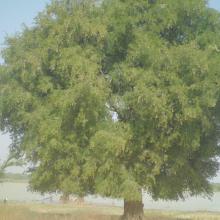
    Photo 8 : Présence d'espèces à grande valeur socio-économique: le Tamarinier
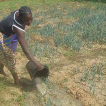
    Photo 12 : Arrosage des planches d'oignon
    Photo 13 : Vue de la forêt classée de Dem avec des espèces menacées au plan mondiale (Vetellaria paradoxa)

    Lac Dem

    • Country: 
      Burkina Faso
    • Designation date: 
      07-10-2009
    • Site number: 
      1882
    • Published since: 
      7 year(s)
    1,354 ha
  10. Tasek Bera

    • Country: 
      Malaysia
    • Designation date: 
      10-11-1994
    • Site number: 
      712
    • Published since: 
      26 year(s)
    38,446 ha

Pages

Stats


Exports

Export Sites information

For a summary list of all the Ramsar Sites in pdf format, click here.

Generate reports of selected Sites

You can generate a report based on the filters you have applied, in either pdf or xls format. The report will sort the results by the Site name, unless you have sorted them by another variable.

For the pdfs, you can choose whether to include the introductory text on each Site, or just show the key data in a shorter report.

To receive a report, please provide your email address and enter the text in the verification picture into the textbox.

As soon as the list has been generated an e-mail will be sent to you with the link to access the file.