Search results

Map

Choose map: | | Download Centroids / Boundaries / Map (pdf)
Materials presented on this website, particularly maps and territorial information, are as-is and as-available based on available data and do not imply the expression of any opinion whatsoever on the part of the Secretariat of the Ramsar Convention concerning the legal status of any country, territory, city or area, or of its authorities, or concerning the delimitation of its frontiers or boundaries.

List

  1. Inter tidal Lagoons
    Acropora downingi-Coral
    Anomastrea irregularis (cf Pseudosiderastrea tayami)
    Arabian butterflyfish - Chaetodon melapterus
    Arabian Gulf sea snake (Hydrophis lapemoides)
    Caulerpa sp. [cf noodle seagrass (Syringodium isoetifolium)]
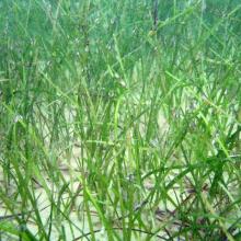
    Seagrass - Halodule uninervis
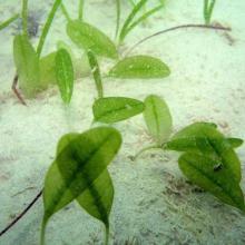
    Paddle weed - Halophila ovalis
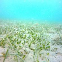
    Seagrass bed
    Chromodoris annulata
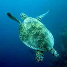
    Green turtle - Chelonia mydas
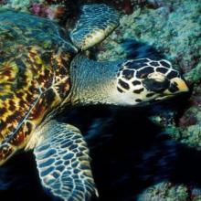
    Hawksbill turtle - Eretmochelys imbricata
    Jabal Ali Wetland Sanctuary Coastal Area
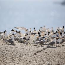
    Lesser crested tern - Thalasseus bengalensis
    Longfin batfish - Platax teira
    Platygyra daedalea
    Turbinaria peltata
    Mangroves

    Jabal Ali Wetland Sanctuary

    • Country: 
      United Arab Emirates
    • Designation date: 
      25-10-2018
    • Site number: 
      2364
    • Published since: 
      5 year(s)
    2,002 ha
  2. Ramsar logo

    Wadi Wurayah National Park

    • Country: 
      United Arab Emirates
    • Designation date: 
      10-07-2010
    • Site number: 
      1932
    • Published since: 
      14 year(s)
    12,700 ha
  3. Male Arabitragus jayakari
    Seasonaly flodded wadi
    Terrace with old settelment
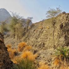
    Typical wadi
    Hatta Dam

    Hatta Mountain Reserve

    • Country: 
      United Arab Emirates
    • Designation date: 
      09-01-2019
    • Site number: 
      2368
    • Published since: 
      5 year(s)
    2,100 ha
  4. He was the winner of best photo for site area, during competition held by Municipality
    Waleed was responsible for the Ramsar Site in 2012

    Al-Zora Protected Area

    • Country: 
      United Arab Emirates
    • Designation date: 
      27-09-2016
    • Site number: 
      2309
    • Published since: 
      7 year(s)
    195 ha
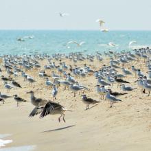
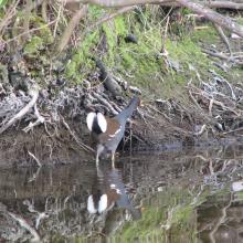
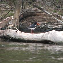
  5. Birds in the estuaries
    Birds in the estuaries
    Burnas
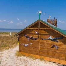
    Eco-educational center
    Birds in the estuaries
    Birds in the estuaries
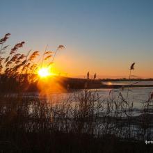
    Tuzly Limans. Autumn
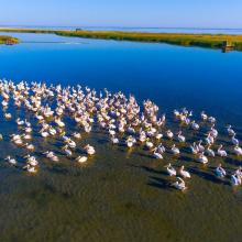
    Birds in the estuaries
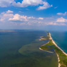
    A sand spit of Tuzlivski Limans

    Shagany-Alibei-Burnas Lakes System

    • Country: 
      Ukraine
    • Designation date: 
      28-02-1997
    • Site number: 
      763
    • Published since: 
      2 year(s)
    27,600 ha
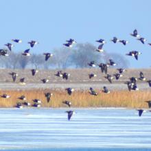
  6. Until the bay is completely covered with ice, ducks will not fly further south.
    The shallow bay is the best feeding ground for Cygnus cygnus.
    Anas penelope refreshes for a long road
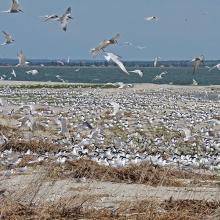
    The colony of Thalasseus sandvicensis on the terminus of the Bilosaraiska Spit
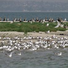
    Larus genei settle near Thalasseus sandvicensis.
    Larus genei settle near Thalasseus sandvicensis.
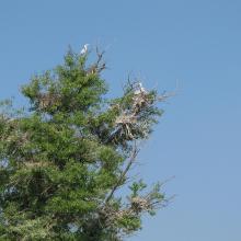
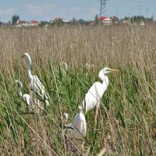
    At the colony of Ardea alba.
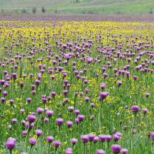
    Halophytic meadows with Rhaponticum serratuloides.
    Psammophyte-steppe area with Iris pumila.
    Shallow saline lakes attract the birds due to their security and food availability.
    In summer, almost all saline shallow lakes are dried-up.

    Bilosaraiska Bay and Bilosaraiska Spit

    • Country: 
      Ukraine
    • Designation date: 
      28-02-1997
    • Site number: 
      773
    • Published since: 
      2 year(s)
    11,281 ha
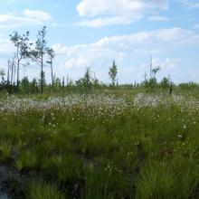
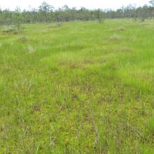
  7. mesoeutrophic bog
    Cariceto-Scheuchzerieto (palustris)-Sphagneta formations
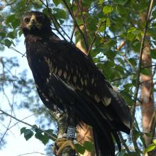
    Ringed Aquila clanga

    Perebrody Peatlands

    • Country: 
      Ukraine
    • Designation date: 
      17-11-2003
    • Site number: 
      1402
    • Published since: 
      7 year(s)
    12,718 ha
  8. Dnipro-Oril Floodplains
    Dnipro-Oril Floodplains
    Dnipro-Oril Floodplains
    Dnipro-Oril Floodplains
    Dnipro-Oril Floodplains
    Dnipro-Oril Floodplains
    Dnipro-Oril Floodplains
    Dnipro-Oril Floodplains
    Dnipro-Oril Floodplains
    Dnipro-Oril Floodplains
    Dnipro-Oril Floodplains

    Dnipro-Oril Floodplains

    • Country: 
      Ukraine
    • Designation date: 
      17-11-2003
    • Site number: 
      1399
    • Published since: 
      3 year(s)
    2,560 ha
  9. Murafa River
    Dniester River
    Dniester River
    Rosa canina L.
    Ardea cinerea near Murafa River
    Murafa River

    Liadova-Murafa

    • Country: 
      Ukraine
    • Designation date: 
      04-04-2019
    • Site number: 
      2387
    • Published since: 
      5 year(s)
    5,394 ha
  10. Dnister River (vicinities of the city of Halych, site “Pidkamin”)
    The Dnister oxbow lake (vicinities of the city of Halych, site “Korolivka”)
    The Dnister oxbow lake (vicinities of the village of Vodnyky)
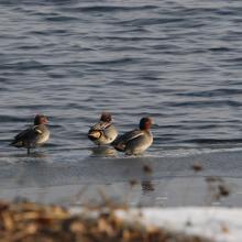
    Flock of common teal.
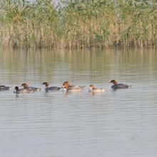
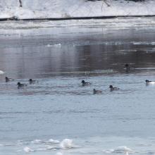
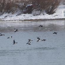
    Flock of common merganser.
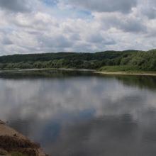
    Early spring on the Dnister.
    Early spring on the Dnister.
    Early spring on the Dnister.

    Dnister River Valley

    • Country: 
      Ukraine
    • Designation date: 
      20-03-2019
    • Site number: 
      2388
    • Published since: 
      5 year(s)
    820 ha

Pages

Stats


Exports

Export Sites information

For a summary list of all the Ramsar Sites in pdf format, click here.

Generate reports of selected Sites

You can generate a report based on the filters you have applied, in either pdf or xls format. The report will sort the results by the Site name, unless you have sorted them by another variable.

For the pdfs, you can choose whether to include the introductory text on each Site, or just show the key data in a shorter report.

To receive a report, please provide your email address and enter the text in the verification picture into the textbox.

As soon as the list has been generated an e-mail will be sent to you with the link to access the file.