Search results

Map

Choose map: | | Download Centroids / Boundaries / Map (pdf)
Materials presented on this website, particularly maps and territorial information, are as-is and as-available based on available data and do not imply the expression of any opinion whatsoever on the part of the Secretariat of the Ramsar Convention concerning the legal status of any country, territory, city or area, or of its authorities, or concerning the delimitation of its frontiers or boundaries.

List

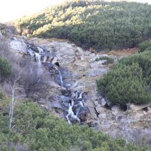
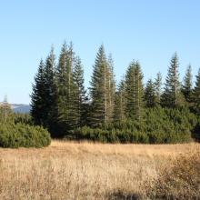
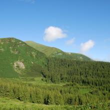
  1. Prut river flow start
    Shrubed peat-bog
    Spurce virgin wet/dry forests
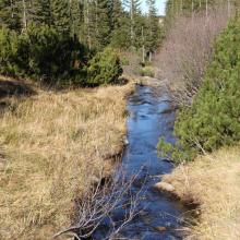
    Stream running through peat bog
    View on Tsybulnyk forested/shurbed peat bog
    A post-glacial kettle under Mount Turkul with the alpine lake Nesamovyte
    A rivulet in the boggy cirque between the mounts of Hoverla and Breskul
    A sedge-moss bog “Tsybulnyk” under Mount Breskul

    Prut River Headwaters

    • Country: 
      Ukraine
    • Designation date: 
      20-03-2019
    • Site number: 
      2395
    • Published since: 
      4 year(s)
    4,935 ha
  2. Male Arabitragus jayakari
    Seasonaly flodded wadi
    Terrace with old settelment
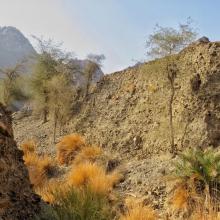
    Typical wadi
    Hatta Dam

    Hatta Mountain Reserve

    • Country: 
      United Arab Emirates
    • Designation date: 
      09-01-2019
    • Site number: 
      2368
    • Published since: 
      5 year(s)
    2,100 ha
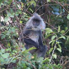
  3. Indochinese silvered langur (Trachypithecus germaini) at Stung Sen Ramsar Site
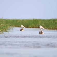
    spot-billed pelocan (Pelecanus philippensis) at Stung Sen Ramsar Site
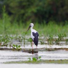
    Asian openbill (Anastomus oscitans) at Stung Sen Ramsar Site
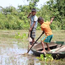
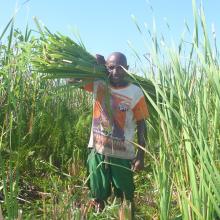
    Local kids catch snail for tonight dinner
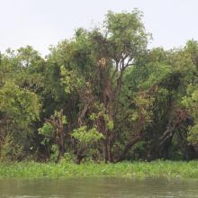
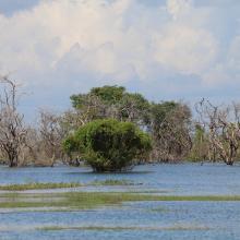
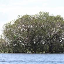
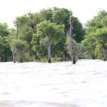
    Seasonally flooded freshwater swamp forest in Stung Sen Ramsar Site
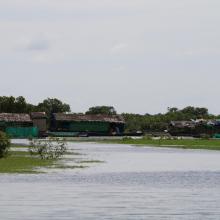
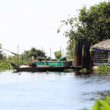
    Flooding house in Stung Sen Ramsar Site
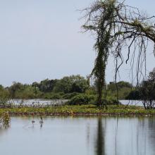
    Flooding trees in Stung Sen Ramsar Site
    Seasonally flooded freshwater swamp forest in Stung Sen Ramsar Site during raining season
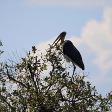
    lesser adjutant (Leptoptilos javanicus) at Stung Sen Ramsar Site
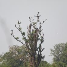
    Waterbirds staying on the canopy at Stung Sen Ramsar Site
    Area which suffer from forest fire during the dry season (2016)
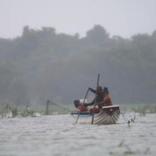
    Local people are fishing at Stung Sen Ramsar Site
    Canopy of tree during raining season at Stung Sen Ramsar Site
    Plant composition and habita structure at Stung Sen Ramsar Site
    Flooding house at Stung Sen Ramsar Site
    Seasonally flooded freshwater swamp forest in Stung Sen Ramsar Site during raining season
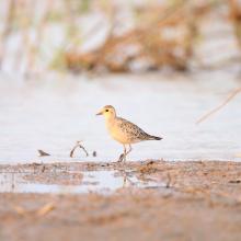
    Oriental Plover (Charadrius veredus) in Stung Sen Ramsar Site
    Seasonally flooded freshwater swamp forest in Stung Sen Ramsar Site during raining season
    Oriental Darters (Anhinga melanogaster) roosting on the tree.
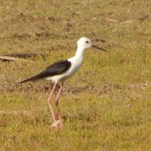
    Black-winged stilt (Himantopus himantopus) in Stung Sen Ramsar Site

    Stung Sen

    • Country: 
      Cambodia
    • Designation date: 
      02-11-2018
    • Site number: 
      2365
    • Published since: 
      5 year(s)
    9,293 ha
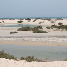
  4. Inter tidal Lagoons
    Acropora downingi-Coral
    Anomastrea irregularis (cf Pseudosiderastrea tayami)
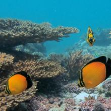
    Arabian butterflyfish - Chaetodon melapterus
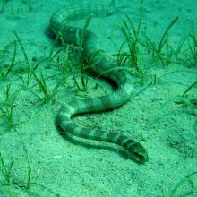
    Arabian Gulf sea snake (Hydrophis lapemoides)
    Caulerpa sp. [cf noodle seagrass (Syringodium isoetifolium)]
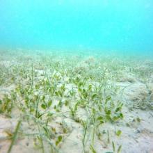
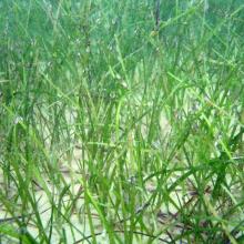
    Seagrass - Halodule uninervis
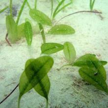
    Paddle weed - Halophila ovalis
    Seagrass bed
    Chromodoris annulata
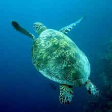
    Green turtle - Chelonia mydas
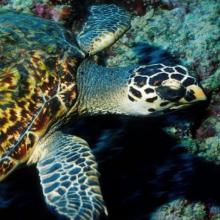
    Hawksbill turtle - Eretmochelys imbricata
    Jabal Ali Wetland Sanctuary Coastal Area
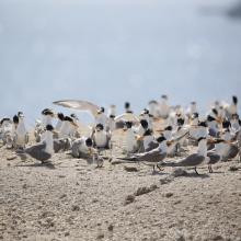
    Lesser crested tern - Thalasseus bengalensis
    Longfin batfish - Platax teira
    Platygyra daedalea
    Turbinaria peltata
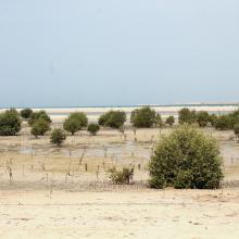
    Mangroves

    Jabal Ali Wetland Sanctuary

    • Country: 
      United Arab Emirates
    • Designation date: 
      25-10-2018
    • Site number: 
      2364
    • Published since: 
      5 year(s)
    2,002 ha
  5. ICMBio
    ICMBio
    ICMBio
    Helder Lana
    ICMBio

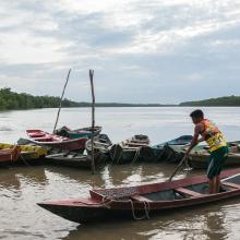
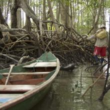
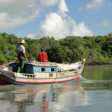
    Amazon Estuary and its Mangroves

    • Country: 
      Brazil
    • Designation date: 
      19-03-2018
    • Site number: 
      2337
    • Published since: 
      5 year(s)
    3,850,253 ha
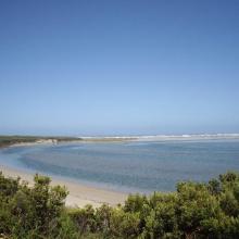
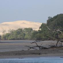
  6. Glenelg River Estuary as viewed from the Beach Road lookout, the opening to the ocean can be seen at far right.
    Coastal dune scrub on the barrier dunes adjacent to Long Swamp and shorebird habitat along the ocean beach.
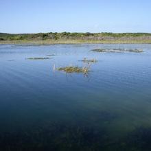
    Lake Mombeong one of the freshwater lakes of Discovery Bay

    Glenelg Estuary and Discovery Bay Ramsar Site

    • Country: 
      Australia
    • Designation date: 
      28-02-2018
    • Site number: 
      2344
    • Published since: 
      5 year(s)
    22,289 ha
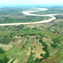
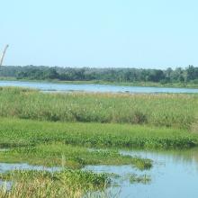
  7. La rivière Lufira
    Le lac Tshangalele qui est dans le bassin de la lufira
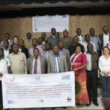
    La photo de l'atelier avec les autorités provinciales
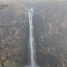
    Chutte de Lofoi

    Bassin de la Lufira

    • Country: 
      Democratic Republic of the Congo
    • Designation date: 
      31-10-2017
    • Site number: 
      2318
    • Published since: 
      6 year(s)
    4,470,993 ha
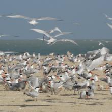
  8. REPRODUCTION DES STERNES CASPIENNES
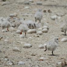
    POUSSINS DE STERNES ROYALES
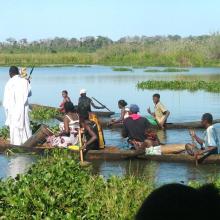
    FEMMES EN ACTIVITES DE RAMASSAGES DES ARCHES DANS LES VASES DE LA ROK
    REPRODUCTION DES STERNES CASPIENNES DANS LA ROK

    Kalissaye

    • Country: 
      Senegal
    • Designation date: 
      01-09-2017
    • Site number: 
      2326
    • Published since: 
      6 year(s)
    30,014 ha
  9. Le Lac Ambondrobe
    Lacs satéllites autour du lac Ambondrobe
    La fleuve Manambolo, adjacente au site Ambondrobe
    Ecosystème marécageuse sur les berges du lac Ambondrobe
    Photo montrant la présence d'Eichhornia crassipes sur les bords
    Photo montrant la pratique du "Lohadrano"
    Utilisation de ressources par les communautés locales
    Ressources en poisson d'eau douce du lac Ambondrobe
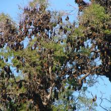
    Pteropus rufus
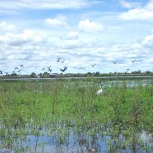
    Quelques peuplement d'oiseaux d'eau du lac Ambondrobe
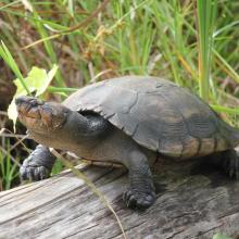
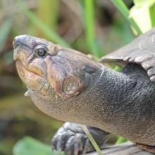
    Erymnochelys madagascariensis
    Erymnochelys madagascariensis
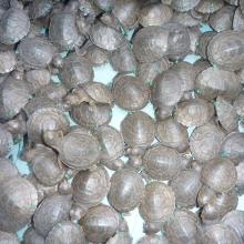
    Nouveaux-nés de Erymnochelys madagascariensis
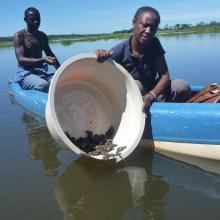
    Relache de nouveaux-nés de Erymnochelys madagascariensis

    Zones humides d'Ambondrobe

    • Country: 
      Madagascar
    • Designation date: 
      22-05-2017
    • Site number: 
      2300
    • Published since: 
      6 year(s)
    13,000 ha
  10. Mangroves de Tsiribihina
    Mangroves de Tsiribihina
    Zone intertidale ouverte et lieu de ponte de flamants roses
    Le fleuve Tsiribihina
    Les plaines alluviales au bord du fleuve Tsiribihina
    Mangrove mixte à Avicennia marina et Rhizophora mucronata
    Exploitation de Typha angustifolia par les communautés locales
    Peuplement de flamants roses à Ankiamena
    Zones de ponte de flamants roses à Ankiamena
    Anas hottentota
    Arenaria interpres
    Himantopus himantopus
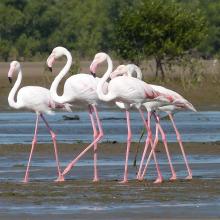
    Phoenicopterus ruber
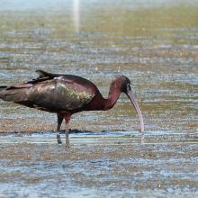
    Plegadis falcinellus

    Mangroves de Tsiribihina

    • Country: 
      Madagascar
    • Designation date: 
      22-05-2017
    • Site number: 
      2302
    • Published since: 
      6 year(s)
    47,218 ha

Pages

Stats


Exports

Export Sites information

For a summary list of all the Ramsar Sites in pdf format, click here.

Generate reports of selected Sites

You can generate a report based on the filters you have applied, in either pdf or xls format. The report will sort the results by the Site name, unless you have sorted them by another variable.

For the pdfs, you can choose whether to include the introductory text on each Site, or just show the key data in a shorter report.

To receive a report, please provide your email address and enter the text in the verification picture into the textbox.

As soon as the list has been generated an e-mail will be sent to you with the link to access the file.