Search results

Map

Choose map: | | Download Centroids / Boundaries / Map (pdf)
Materials presented on this website, particularly maps and territorial information, are as-is and as-available based on available data and do not imply the expression of any opinion whatsoever on the part of the Secretariat of the Ramsar Convention concerning the legal status of any country, territory, city or area, or of its authorities, or concerning the delimitation of its frontiers or boundaries.

List

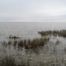
  1. Chott Echergui
    Chott Echergui
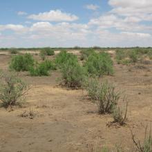
    Chott Echergui
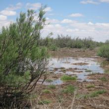
    Chott Echergui
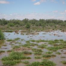
    Chott Echergui

    Chott Ech Chergui

    • Country: 
      Algeria
    • Designation date: 
      02-02-2001
    • Site number: 
      1052
    • Published since: 
      5 year(s)
    855,500 ha
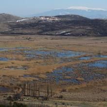
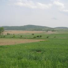
  2. Western part of the wetland with Chepan Mountain in the background.
    Dragoman marsh - Aldrovanda versiculosa monitoring - The Turtle, Birds and Plants in Western Bulgaria Project BG03.SGS-18, funded under the BG03 Program of the European Economic Area Financial Mechanism 2009-2014
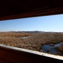
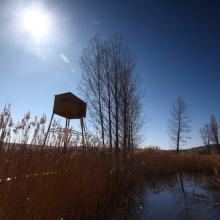
    From the bird watcherover.
    A bird watchover in Dragoman marsh.
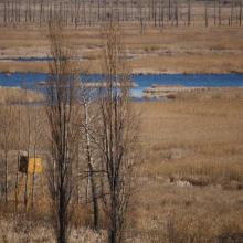
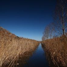
    Dragoman marsh.
    Dragoman marsh.
    Dragoman marsh
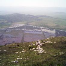
    Dragoman marsh, View from Chepan Mountain

    Dragoman Marsh Karst Complex

    • Country: 
      Bulgaria
    • Designation date: 
      11-02-2011
    • Site number: 
      1970
    • Published since: 
      4 year(s)
    14,941 ha
  3. Ramsar logo

    Ecosistema Arroyo Verde APFF Sierra de Álamos Río Cuchujaqui

    • Country: 
      Mexico
    • Designation date: 
      02-02-2010
    • Site number: 
      1934
    • Published since: 
      14 year(s)
    174 ha
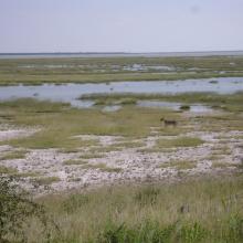
  4. Lioness on the eastern edge of Etosha Pan near Namutoni.  Exceptionally high rainfall in Angola and northern Namibia resulted in the pan filling up.
    The old fort at Namutoni with Fischer's Pan in the foreground, eastern Etosha.
    Giraffe on the edge of Fischer's Pan, eastern Etosha.
    Causeway across Fischer's Pan flooded by exceptionally high water levels.
    Ephemeral waterhole formed during the rainy season.
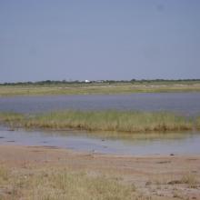
    View of the eastern edge of Etosha Pan near Namutoni.
    View of the eastern edge of Etosha Pan near Namutoni.
    Blue Cranes on the edge of Etosha Pan near Doringdraai, eastern Etosha.

    Etosha Pan

    • Country: 
      Namibia
    • Designation date: 
      23-08-1995
    • Site number: 
      745
    • Published since: 
      29 year(s)
    600,000 ha
  5. Ramsar logo

    Gbedin Wetlands

    • Country: 
      Liberia
    • Designation date: 
      24-08-2006
    • Site number: 
      1628
    • Published since: 
      18 year(s)
    25 ha
  6. Ramsar logo

    Glaciar Vinciguerra y Turberas Asociadas

    • Country: 
      Argentina
    • Designation date: 
      16-09-2009
    • Site number: 
      1886
    • Published since: 
      15 year(s)
    2,760 ha
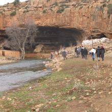
  7. visite par le public
    cascades de la grotte

    Grotte karstique de Ghar Boumâaza

    • Country: 
      Algeria
    • Designation date: 
      06-04-2003
    • Site number: 
      1297
    • Published since: 
      6 year(s)
    20,000 ha
  8. Ramsar logo

    Gudlaugstungur Nature Reserve

    • Country: 
      Iceland
    • Designation date: 
      18-02-2013
    • Site number: 
      2130
    • Published since: 
      11 year(s)
    40,160 ha
  9. Ramsar logo

    Har Us Nuur National Park

    • Country: 
      Mongolia
    • Designation date: 
      06-04-1999
    • Site number: 
      976
    • Published since: 
      25 year(s)
    321,360 ha
  10. Male Arabitragus jayakari
    Seasonaly flodded wadi
    Terrace with old settelment
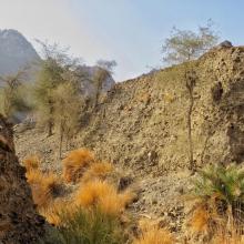
    Typical wadi
    Hatta Dam

    Hatta Mountain Reserve

    • Country: 
      United Arab Emirates
    • Designation date: 
      09-01-2019
    • Site number: 
      2368
    • Published since: 
      5 year(s)
    2,100 ha

Pages

Stats


Exports

Export Sites information

For a summary list of all the Ramsar Sites in pdf format, click here.

Generate reports of selected Sites

You can generate a report based on the filters you have applied, in either pdf or xls format. The report will sort the results by the Site name, unless you have sorted them by another variable.

For the pdfs, you can choose whether to include the introductory text on each Site, or just show the key data in a shorter report.

To receive a report, please provide your email address and enter the text in the verification picture into the textbox.

As soon as the list has been generated an e-mail will be sent to you with the link to access the file.