Search results
Search found 131 Ramsar Sites covering 47,222,598 ha
- (-) Remove Ramsar criteria: 7 filter Ramsar criteria: 7
- (-) Remove Ramsar criteria: 3 filter Ramsar criteria: 3
- (-) Remove Ramsar criteria: 4 filter Ramsar criteria: 4
- (-) Remove Threats: Pollution filter Threats: Pollution
- (-) Remove Threats: Unspecified filter Threats: Unspecified
Map
Materials presented on this website, particularly maps and territorial information, are as-is and as-available based on available data and do not imply the expression of any opinion whatsoever on the part of the Secretariat of the Ramsar Convention concerning the legal status of any country, territory, city or area, or of its authorities, or concerning the delimitation of its frontiers or boundaries.
List
-
 of 230 km2
Figure 1
Route: Lusnic – Celebic – Donji Kazanci")


Livanjsko Polje
-
Country:Bosnia and Herzegovina
-
Designation date:11-04-2008
-
Site number:1786
-
Published since:16 year(s)
45,868 ha -
-

Kuban Delta: Group of limans between Kuban & Protoka Rivers
-
Country:Russian Federation
-
Designation date:13-09-1994
-
Site number:674
-
Published since:27 year(s)
88,400 ha -
-

Taiamã Ecological Station
-
Country:Brazil
-
Designation date:21-10-2018
-
Site number:2363
-
Published since:5 year(s)
11,555 ha -
-


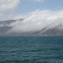


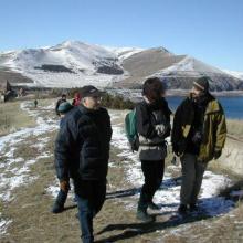

Lake Sevan
-
Country:Armenia
-
Designation date:07-06-1993
-
Site number:620
-
Published since:13 year(s)
490,231 ha -
-
Vascão River
-
Country:Portugal
-
Designation date:03-12-2012
-
Site number:2090
-
Published since:11 year(s)
44,331 ha -
-
Gornje Podunavlje
-
Country:Serbia
-
Designation date:13-11-2007
-
Site number:1737
-
Published since:16 year(s)
22,480 ha -
-


Lower Songkhram River
-
Country:Thailand
-
Designation date:15-05-2019
-
Site number:2420
-
Published since:3 year(s)
5,505 ha -
-


Pallikaranai Marsh Reserve Forest
-
Country:India
-
Designation date:08-04-2022
-
Site number:2481
-
Published since:1 year(s)
1,248 ha -
-


Thane Creek
-
Country:India
-
Designation date:13-04-2022
-
Site number:2490
-
Published since:1 year(s)
6,521 ha -
-


Complejo de Humedales del Alto Rio Cauca Asociado a la Laguna de Sonso
-
Country:Colombia
-
Designation date:14-02-2017
-
Site number:2403
-
Published since:4 year(s)
5,525 ha -