Search results

Map

Choose map: | | Download Centroids / Boundaries / Map (pdf)
Materials presented on this website, particularly maps and territorial information, are as-is and as-available based on available data and do not imply the expression of any opinion whatsoever on the part of the Secretariat of the Ramsar Convention concerning the legal status of any country, territory, city or area, or of its authorities, or concerning the delimitation of its frontiers or boundaries.

List

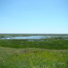
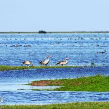
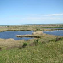
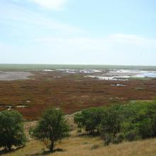
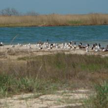
  1. Floodplain lakes in Berda mouth
    Floodplain lakes in Berda mouth
    Floodplain lakes in Berda mouth
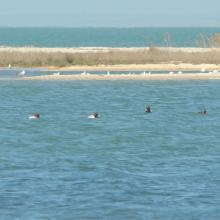
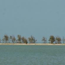
    Berdianska Spit and Berdianska Bay
    Berdianska Spit and Berdianska Bay
    Berdianska Spit and Berdianska Bay
    Berdianska Spit and Berdianska Bay

    Berda River Mouth and Berdianska Spit and Berdianska Bay

    • Country: 
      Ukraine
    • Designation date: 
      28-02-1997
    • Site number: 
      772
    • Published since: 
      1 year(s)
    8,420 ha
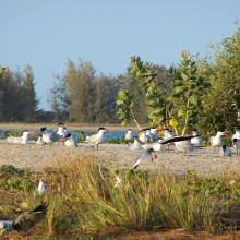
  2. Site de nidification et de gagnage des sternes caspiennes
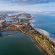
    Vu d'ensemble de la langue de Barbarie
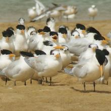
    Colonie des Sternes royales
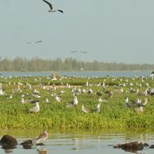
    Colonie de Sterne Caspienne en vol
    Un des écosystèmes remarquables du parc
    Un des écosystèmes remarquables du parc
    Singe vert un des mammifères du Parc
    Un des écosystèmes remarquables du parc
    Un des écosystèmes remarquables du parc
    Embarcadère du parc
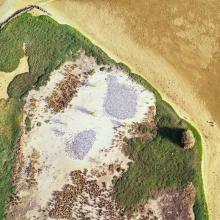
    Vu aérienne du parc
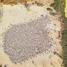
    Vu aérienne des colonies nicheuses
    Hydrologie du parc

    Parc National de la Langue de Barbarie

    • Country: 
      Senegal
    • Designation date: 
      07-04-2021
    • Site number: 
      2467
    • Published since: 
      2 year(s)
    2,000 ha
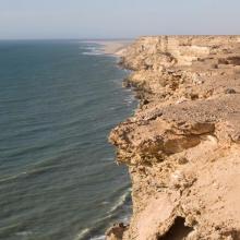
  3. Littoral Aftissate-Boujdour: falaise surplombant directement les eaux océaniques
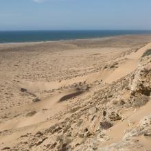
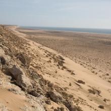
    Littoral Aftissate-Boujdour: diversité des habitats et valeur paysagère (vue vers le Nord)
    Littoral Aftissate-Boujdour: diversité des habitats et valeur paysagère (vue vers le Nord)
    Valeur culturelle du littoral d'Aftissate: tumulus sur le plateau littoral
    Valeur culturelle du littoral d'Aftissate: amas coquillier préhistorique sur le plateau littoral

    Côte Aftissate-Boujdour

    • Country: 
      Morocco
    • Designation date: 
      16-04-2019
    • Site number: 
      2377
    • Published since: 
      4 year(s)
    11,700 ha
  4. Oued As-Saqia Al Hamra persant le barrage de dunes sableuses
    Oued As-Saqia Al Hamra à l'amont immédiat du barrage de dunes sableuses
    Oued As-Saqia Al Hamra à l'amont du barrage dunaire _flamants et sarcelles marbrées
    Oued As-Saqia Al Hamra en contact de la ville de La'youne (vue vers l'amont)
    Oued As-Saqia Al Hamra en contact de la ville de La'youne et végétation émergente (vue vers l'amont)

    Oued Assaquia Al Hamra à La'youne

    • Country: 
      Morocco
    • Designation date: 
      16-04-2019
    • Site number: 
      2382
    • Published since: 
      4 year(s)
    9,500 ha
  5. The Takaono River estuary:
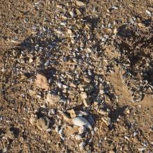
Tidal flats with sand and mud deposits are inhabited by many organisms, including birds.
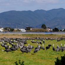
    Hooded Cranes foraging in front of Mt. Yahazu, located in the northeastern part of Izumi Plain.
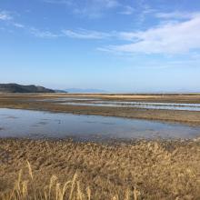
    Paddy fields in winter across the Izumi Plain:
Many cranes forage during the day, and at night, they roost in groups in paddy fields filled with water for their roosting ground.

    Izumi Wintering Habitat of Cranes

    • Country: 
      Japan
    • Designation date: 
      18-11-2021
    • Site number: 
      2462
    • Published since: 
      2 year(s)
    478 ha
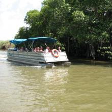
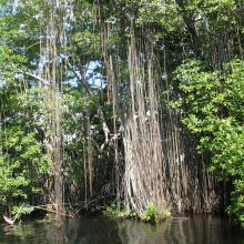
  6. Black River Lower Morass
    Black River Lower Morass
    Black River Lower Morass
    Black River Lower Morass

    Black River Lower Morass

    • Country: 
      Jamaica
    • Designation date: 
      07-10-1997
    • Site number: 
      919
    • Published since: 
      2 year(s)
    13,713 ha
  7. Salina Wayaca
    Brown Pelican at Slagbaai
    Historic buildings at Slagbaai
    Fresh water stream Pos Amerikano at Washington-Slagbaai
    Salina Goto at Washington-Slagbaai
    Salina Goto at Washington-Slagbaai
    Flamingo's at Salina Slagbaai, part of Washington Slagbaai

    Washington Slagbaai

    • Country: 
      Netherlands (Kingdom of the)
    • Designation date: 
      23-05-1980
    • Site number: 
      202
    • Published since: 
      2 year(s)
    5,853 ha
  8. Poda site
    Poda site
    Poda site, cormorants
    Poda site, swans
    Nature Conservation Centre Poda - http://bspb.org/poda/en/index.html
    Nature Conservation Centre Poda - http://bspb.org/poda/en/index.html
    Poda Wetland
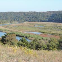
    Poda site, near the conservation centre. In the foreground is the invasive species Ailanthus altissima
    Nature Conservation Centre Poda - http://bspb.org/poda/en/index.html

    Poda

    • Country: 
      Bulgaria
    • Designation date: 
      24-09-2002
    • Site number: 
      1228
    • Published since: 
      4 year(s)
    307 ha
  9. View of Bujagh-Caspian sea
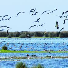
    Flock of Vanellus gregarius (Sociable Lapwing)
    Anser anser in Bujagh wetland

    Bujagh National Park

    • Country: 
      Iran (Islamic Republic of)
    • Designation date: 
      23-06-1975
    • Site number: 
      46
    • Published since: 
      1 year(s)
    3,433 ha
  10. Forest habitat in Ropotamo Complex. The photo was taken during a field study part of the preparation of the Ropotamo Reserve Management Plan.
    Waterfowl in Ropotamo Complex. The photo was taken during a field study part of the preparation of the Ropotamo Reserve Management Plan.
    Cormorants. The photo was taken during a field study part of the preparation of the Ropotamo Reserve Management Plan.
    The photo was taken during a field study part of the preparation of the Ropotamo Reserve Management Plan.
    The bay.
The photo was taken during a field study part of the preparation of the Ropotamo Reserve Management Plan.
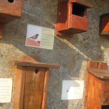
    Information table.
The photo was taken during a field study part of the preparation of the Ropotamo Reserve Management Plan.
    The photo was taken during a field study part of the preparation of the Ropotamo Reserve Management Plan.
    Waterfowl in Ropotamo Complex. The photo was taken during a field study part of the preparation of the Ropotamo Reserve Management Plan.
    Marsh.
The photo was taken during a field study part of the preparation of the Ropotamo Reserve Management Plan.
    Ropotamo River.
The photo was taken during a field study part of the preparation of the Ropotamo Reserve Management Plan.
    Ropotamo River.
The photo was taken during a field study part of the preparation of the Ropotamo Reserve Management Plan.
    Ropotamo River.
The photo was taken during a field study part of the preparation of the Ropotamo Reserve Management Plan.
    Ropotamo Complex, Dunes
    Ropotamo Complex, Forest

    Ropotamo Complex

    • Country: 
      Bulgaria
    • Designation date: 
      24-09-1975
    • Site number: 
      65
    • Published since: 
      4 year(s)
    3,385 ha

Pages

Stats


Exports

Export Sites information

For a summary list of all the Ramsar Sites in pdf format, click here.

Generate reports of selected Sites

You can generate a report based on the filters you have applied, in either pdf or xls format. The report will sort the results by the Site name, unless you have sorted them by another variable.

For the pdfs, you can choose whether to include the introductory text on each Site, or just show the key data in a shorter report.

To receive a report, please provide your email address and enter the text in the verification picture into the textbox.

As soon as the list has been generated an e-mail will be sent to you with the link to access the file.