Search results

Map

Choose map: | | Download Centroids / Boundaries / Map (pdf)
Materials presented on this website, particularly maps and territorial information, are as-is and as-available based on available data and do not imply the expression of any opinion whatsoever on the part of the Secretariat of the Ramsar Convention concerning the legal status of any country, territory, city or area, or of its authorities, or concerning the delimitation of its frontiers or boundaries.

List

  1. Ramsar logo

    Moyenne Dr'a

    • Country: 
      Morocco
    • Designation date: 
      15-01-2005
    • Site number: 
      1482
    • Published since: 
      19 year(s)
    45,000 ha
  2. Ramsar logo

    Eco-región Lachuá

    • Country: 
      Guatemala
    • Designation date: 
      24-05-2006
    • Site number: 
      1623
    • Published since: 
      17 year(s)
    53,523 ha
  3. Ramsar logo

    Parque Nacional Laguna del Tigre

    • Country: 
      Guatemala
    • Designation date: 
      26-06-1990
    • Site number: 
      488
    • Published since: 
      26 year(s)
    335,080 ha
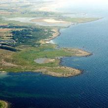
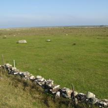
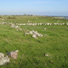
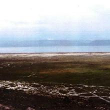
  4. The southern sub site. Well grazed wetland close to shore
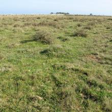
    The southern sub site. Well grazed Dasiphora fruticosa
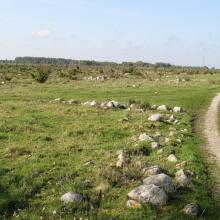
    The central sub site. Grazed wetland near the shoreline
    The central sub site. Dryer land with occurrence of bush dominated by Juniperus communis ssp. communis
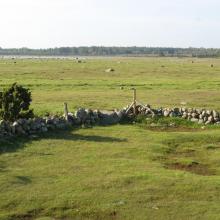
    The northern sub site. Well managed wetland.
    The northern sub site. A small ditch is crossing the wetland.

    Ölands ostkust

    • Country: 
      Sweden
    • Designation date: 
      05-12-1974
    • Site number: 
      18
    • Published since: 
      5 year(s)
    10,718 ha
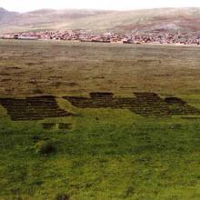
  5. Vegetación de totorales en el espejo de agua y orillas.
    Patos altoandinos del Lago de Junín
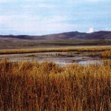
    Bofedales, pampa y espejo de agua de la Reserva.
    Extracción de vegetación de turberas que sirve como combustible en la región.

    Reserva Nacional de Junín

    • Country: 
      Peru
    • Designation date: 
      20-01-1997
    • Site number: 
      882
    • Published since: 
      27 year(s)
    53,000 ha
  6. Morups Tånge
    Gamla Köpstad

    Träslövsläge-Morups Tånge

    • Country: 
      Sweden
    • Designation date: 
      12-06-1989
    • Site number: 
      430
    • Published since: 
      5 year(s)
    1,976 ha
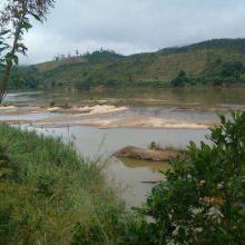
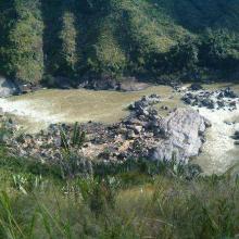
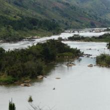
  7. Rivière Nosivolo et affluents (District Mahanoro et Marolambo)
    Rivière Nosivolo et affluents (District Mahanoro et Marolambo)
    Rivière Nosivolo et affluents (District Mahanoro et Marolambo)
    Rivière Nosivolo et affluents (District Mahanoro et Marolambo)
    Site Ramsar ‘Rivière Nosivolo et affluents’
    Site Ramsar ‘Rivière Nosivolo et affluents’
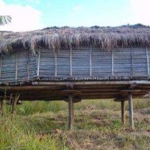
    Grenier familial à Nosivolo
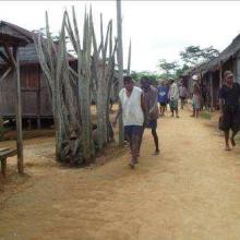
    ‘Jiro’ à Nosivolo
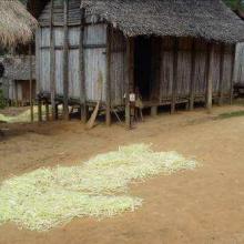
    Maison traditionnelle à Nosivolo avec séchage de Raphia
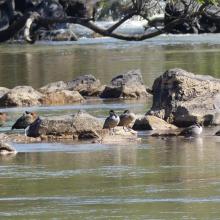
    Anas erythrorhyncha et Dendrocygna viduata
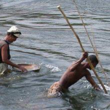
    Destruction des marécages (forêt de raphia) par l’orpaillage et la construction de la rizière
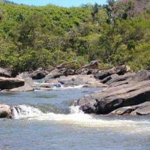
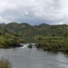
    Eau rapide et rocailleux de la rivière
    Eau calme
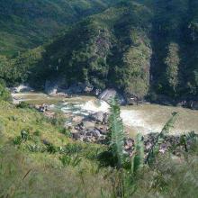
    Paysage de la rivière Nosivolo avec des terrains de culture vivrière sur  le bassin versant

    Rivière Nosivolo et affluents

    • Country: 
      Madagascar
    • Designation date: 
      17-09-2010
    • Site number: 
      1916
    • Published since: 
      7 year(s)
    358,511 ha
  8. lac Bedo

    Zones humides de Bedo

    • Country: 
      Madagascar
    • Designation date: 
      12-05-2007
    • Site number: 
      1686
    • Published since: 
      7 year(s)
    1,962 ha
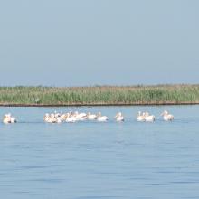
  9. Wite Pelicans near the island Dzharylgach
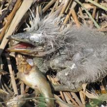
    Breakfast of the chicken of Gray Herons on the Cakinitsky islands
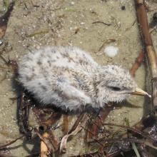
    The wet chicken of Sandwich Tern on the island  Dzharylgach
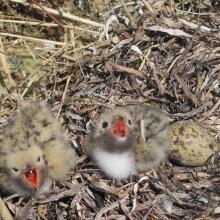
    Chicks of the Common Tern on the island Dzharylgach
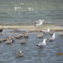
    Young Yellow-legged Gull on the Cakinitsky islands

    Karkinitska and Dzharylgatska Bays

    • Country: 
      Ukraine
    • Designation date: 
      11-10-1976
    • Site number: 
      114
    • Published since: 
      1 year(s)
    147,557 ha
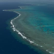
  10. Aerial - the Great Sea Reef from Nadogo, Northern Division.
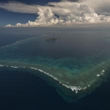
    Aerial - the Great Sea Reef surrounding Kia Island, Northern Division.
    Night time shot of a traditional Fijian bure or homes made with thatched roofs and natural material walls.
    Ligau Village fishermen out at sea fishing.
    Katawaqa Island where turtles nest and are protected.
    Mita from Ligau Levu Village expertly handles a freshly caught live aggressive mudcrab from the mangroves.
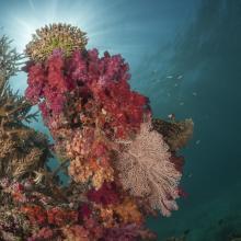
    Soft coral garden, a charming dive site of the Great Sea Reef's marine protected area.
    Turtle monitors (Dau Ni Vonu)  were once turtle hunters who are now using their skills to advocate for the protection of this iconic species
    Snorkeler swims the coral reefs of the Great Sea Reefs.

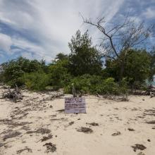
    Qoliqoli Cokovata

    • Country: 
      Fiji
    • Designation date: 
      16-01-2018
    • Site number: 
      2331
    • Published since: 
      6 year(s)
    134,900 ha

Pages

Stats


Exports

Export Sites information

For a summary list of all the Ramsar Sites in pdf format, click here.

Generate reports of selected Sites

You can generate a report based on the filters you have applied, in either pdf or xls format. The report will sort the results by the Site name, unless you have sorted them by another variable.

For the pdfs, you can choose whether to include the introductory text on each Site, or just show the key data in a shorter report.

To receive a report, please provide your email address and enter the text in the verification picture into the textbox.

As soon as the list has been generated an e-mail will be sent to you with the link to access the file.