Search results

Map

Choose map: | | Download Centroids / Boundaries / Map (pdf)
Materials presented on this website, particularly maps and territorial information, are as-is and as-available based on available data and do not imply the expression of any opinion whatsoever on the part of the Secretariat of the Ramsar Convention concerning the legal status of any country, territory, city or area, or of its authorities, or concerning the delimitation of its frontiers or boundaries.

List

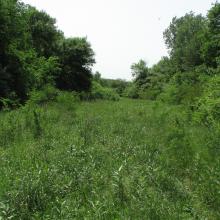
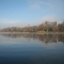
  1. Dnipro-Oril Floodplains
    Dnipro-Oril Floodplains
    Dnipro-Oril Floodplains
    Dnipro-Oril Floodplains
    Dnipro-Oril Floodplains
    Dnipro-Oril Floodplains
    Dnipro-Oril Floodplains
    Dnipro-Oril Floodplains
    Dnipro-Oril Floodplains
    Dnipro-Oril Floodplains
    Dnipro-Oril Floodplains

    Dnipro-Oril Floodplains

    • Country: 
      Ukraine
    • Designation date: 
      17-11-2003
    • Site number: 
      1399
    • Published since: 
      2 year(s)
    2,560 ha
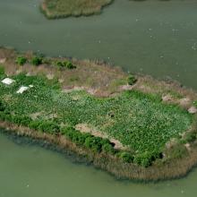
  2. Gull colony on Korom Island at Lake Fehér

    Pusztaszer

    • Country: 
      Hungary
    • Designation date: 
      11-04-1979
    • Site number: 
      188
    • Published since: 
      2 year(s)
    5,086 ha
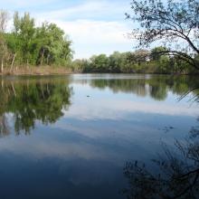
  3. An oxbow lake of the river Tisza at Mártély

    Mártély

    • Country: 
      Hungary
    • Designation date: 
      11-04-1979
    • Site number: 
      186
    • Published since: 
      2 year(s)
    2,247 ha
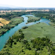
  4. Aerial view

    Oasis of the Sele - Serre Persano
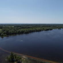
    • Country: 
      Italy
    • Designation date: 
      07-08-2003
    • Site number: 
      1665
    • Published since: 
      1 year(s)
    174 ha
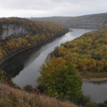
  5. Lower Smotrych River
    Lower Smotrych River

    Lower Smotrych River

    • Country: 
      Ukraine
    • Designation date: 
      17-11-2003
    • Site number: 
      1401
    • Published since: 
      2 year(s)
    1,480 ha
  6. Prut river flow start
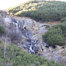
    Shrubed peat-bog
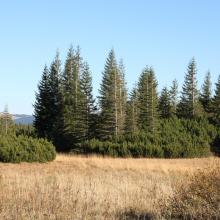
    Spurce virgin wet/dry forests
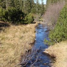
    Stream running through peat bog
    View on Tsybulnyk forested/shurbed peat bog
    A post-glacial kettle under Mount Turkul with the alpine lake Nesamovyte
    A rivulet in the boggy cirque between the mounts of Hoverla and Breskul
    A sedge-moss bog “Tsybulnyk” under Mount Breskul

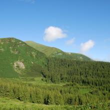
    Prut River Headwaters

    • Country: 
      Ukraine
    • Designation date: 
      20-03-2019
    • Site number: 
      2395
    • Published since: 
      4 year(s)
    4,935 ha
  7. Vue aérienne du site Ramsar (PNRFO)
    Activités économiques : pêche (CELRL)
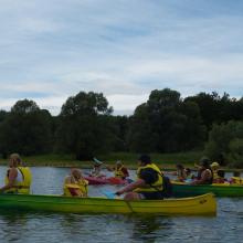
    Activités touristiques : canoés (PNRFO)
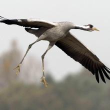
    Richesse écologique du site : Grue cendrée (C. Thomasson)
    Aires protégées : RNN étang de la Horre (CENCA)
    Types de milieux : mare et prairie (PNRFO)

    Etangs de la Champagne humide

    • Country: 
      France
    • Designation date: 
      05-04-1991
    • Site number: 
      514
    • Published since: 
      4 year(s)
    255,800 ha
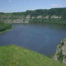
  8. Dnister River (vicinities of the city of Halych, site “Pidkamin”)
    The Dnister oxbow lake (vicinities of the city of Halych, site “Korolivka”)
    The Dnister oxbow lake (vicinities of the village of Vodnyky)
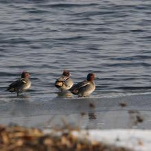
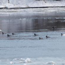
    Flock of common teal.
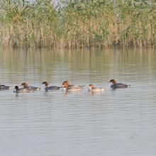
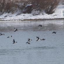
    Flock of common merganser.
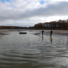
    Early spring on the Dnister.
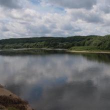
    Early spring on the Dnister.
    Early spring on the Dnister.

    Dnister River Valley

    • Country: 
      Ukraine
    • Designation date: 
      20-03-2019
    • Site number: 
      2388
    • Published since: 
      4 year(s)
    820 ha
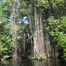
  9. Black River Lower Morass
    Black River Lower Morass
    Black River Lower Morass
    Black River Lower Morass

    Black River Lower Morass

    • Country: 
      Jamaica
    • Designation date: 
      07-10-1997
    • Site number: 
      919
    • Published since: 
      2 year(s)
    13,713 ha
  10. Flood in retention zone of Lonjsko Polje
    Leucojo aestivum - angustifoliae forest
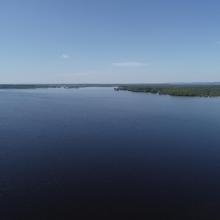
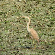
    Ardea purpurea
    Coexistence between humans and nature, Gračansko Field
    Mužilovčica oxbow
    Poganovo Field
    Marsilea quadrifolia
    Grazing
    Platalea leucorodia
    Ciconia nigra
    Flood
    Flood in Lonjsko Polje
    Riperian forest
    Flood
    Riperian forest in flood period
    Flood in retention zone and flood defense system
    Repušničko Field

    Lonjsko Polje Nature Park

    • Country: 
      Croatia
    • Designation date: 
      02-11-1992
    • Site number: 
      584
    • Published since: 
      4 year(s)
    51,218 ha

Pages

Stats


Exports

Export Sites information

For a summary list of all the Ramsar Sites in pdf format, click here.

Generate reports of selected Sites

You can generate a report based on the filters you have applied, in either pdf or xls format. The report will sort the results by the Site name, unless you have sorted them by another variable.

For the pdfs, you can choose whether to include the introductory text on each Site, or just show the key data in a shorter report.

To receive a report, please provide your email address and enter the text in the verification picture into the textbox.

As soon as the list has been generated an e-mail will be sent to you with the link to access the file.