Search results

Map

Choose map: | | Download Centroids / Boundaries / Map (pdf)
Materials presented on this website, particularly maps and territorial information, are as-is and as-available based on available data and do not imply the expression of any opinion whatsoever on the part of the Secretariat of the Ramsar Convention concerning the legal status of any country, territory, city or area, or of its authorities, or concerning the delimitation of its frontiers or boundaries.

List

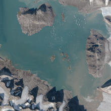
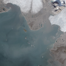
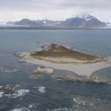
  1. Aerial view of Kongsfjorden
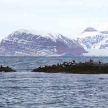
    Common eiders
    Ny-Ålesund, the closest settlement, with a view of Kongsfjorden
    Terretorial Arctic tern
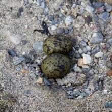
    Arctic tern "nest"
    Nesting female eider
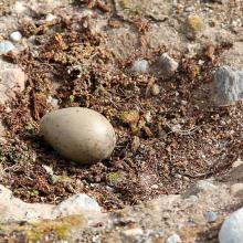
    Glaucous gull nest
    Multiple female eiders nesting, blending into the environment
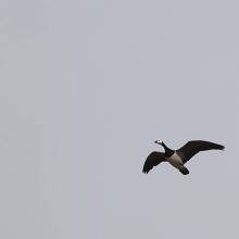
    Barnacle goose
    Red phalaropes
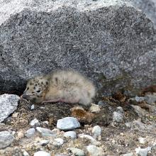
    Newly hatched common eiders
    Glaoucous gull chick
    Great skua nest
    Arctic tern nest

    Kongsfjorden

    • Country: 
      Norway
    • Designation date: 
      24-07-1985
    • Site number: 
      315
    • Published since: 
      6 year(s)
    710 ha
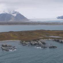
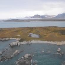
  2. Aerial view of Isøyane
    Nordre Isøya
    Isøyane
    Isøyane
    Isøyane
    Isøyane

    Isøyane

    • Country: 
      Norway
    • Designation date: 
      24-07-1985
    • Site number: 
      316
    • Published since: 
      6 year(s)
    230 ha
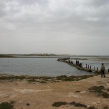
  3. VUE SUR LA LAGUNE
    VUE SUR LA LAGUNE
    PRODUCTION DE LA LAGUNE
    SITE BAHIRET EL BIBANE

    Bahiret el Bibane

    • Country: 
      Tunisia
    • Designation date: 
      07-11-2007
    • Site number: 
      1697
    • Published since: 
      7 year(s)
    39,266 ha
  4. He was the winner of best photo for site area, during competition held by Municipality
    Waleed was responsible for the Ramsar Site in 2012

    Al-Zora Protected Area

    • Country: 
      United Arab Emirates
    • Designation date: 
      27-09-2016
    • Site number: 
      2309
    • Published since: 
      6 year(s)
    195 ha
  5. http://www.icmbio.gov.br/portal/biodiversidade/unidades-de-conservacao/biomas-brasileiros/marinho/unidades-de-conservacao-marinho/2252-esec-de-guaraquecaba.html

    Guaraqueçaba Ecological Station

    • Country: 
      Brazil
    • Designation date: 
      05-06-2017
    • Site number: 
      2305
    • Published since: 
      6 year(s)
    4,370 ha
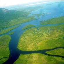
  6. Mangrove in Meinmahla Kyun
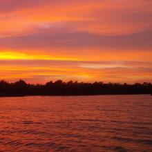
    Sunset of Meinmahla Kyun

    Meinmahla Kyun Wildlife Sanctuary

    • Country: 
      Myanmar
    • Designation date: 
      02-02-2017
    • Site number: 
      2280
    • Published since: 
      7 year(s)
    50,000 ha
  7. Vistula River Mouth
    Vistula River Mouth
    Vistula River Mouth
    Vistula River Mouth
    Vistula River Mouth
    Vistula River Mouth
    Vistula River Mouth
    Vistula River Mouth

    Vistula River Mouth

    • Country: 
      Poland
    • Designation date: 
      09-04-2015
    • Site number: 
      2321
    • Published since: 
      6 year(s)
    1,748 ha
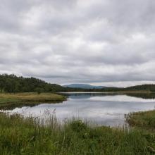
  8. Tårstad river in Kjerkvatnet nature reserve
    Sommervatnet
    Svanevatnet

    Evenes wetland system

    • Country: 
      Norway
    • Designation date: 
      12-11-2010
    • Site number: 
      1949
    • Published since: 
      6 year(s)
    434 ha
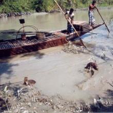
  9. A swimming Bengal Tiger (Panthera tigris) is crossing a tidal creek in Bangladesh Sundarbans
    A Bengal Tiger (Panthera tigris) is feeding on its prey in the Mangrove Swamp of Bangladesh Sundarbans
    A view of Sundarban Mangrove forest of Bangladesh
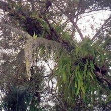
    Colorful ferns, lichens, climbers developed on the trunk of Sundri (Heritiera fomes) of Bangladesh Sundarbans
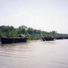
    Boats carrying the harvested Golpata (Nypa fruiticans) from the Sundarbans
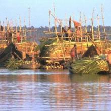
    Golpata (Nypa fruiticans) are being harvested by people as thatch materials for roofing village houses
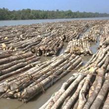
    Boom of Gewa (Excoecaria agallocha) being transported to the Khulna Newsprint Mill from the Sundarbans as a pulpwood for manufacturing newsprint.
    Fish are being dried by the fishermen caught in winter fishery at Dublar char of Bangladesh Sundarban
    Fishermen are catching fish with the help of Otter (Lutra percipicilata) in the Sundarbans of Bangladesh
    Tourists are visiting the emblem constructed to commemorate the declaration of Sundarbans as World Heritage Site at Nilkamal.

    Sundarbans Reserved Forest

    • Country: 
      Bangladesh
    • Designation date: 
      21-05-1992
    • Site number: 
      560
    • Published since: 
      21 year(s)
    601,700 ha
  10. Until the bay is completely covered with ice, ducks will not fly further south.
    The shallow bay is the best feeding ground for Cygnus cygnus.
    Anas penelope refreshes for a long road
    The colony of Thalasseus sandvicensis on the terminus of the Bilosaraiska Spit
    Larus genei settle near Thalasseus sandvicensis.
    Larus genei settle near Thalasseus sandvicensis.
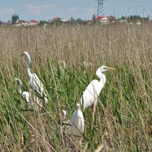
    At the colony of Ardea alba.
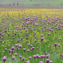
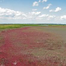
    Halophytic meadows with Rhaponticum serratuloides.
    Psammophyte-steppe area with Iris pumila.
    Shallow saline lakes attract the birds due to their security and food availability.
    In summer, almost all saline shallow lakes are dried-up.

    Bilosaraiska Bay and Bilosaraiska Spit

    • Country: 
      Ukraine
    • Designation date: 
      28-02-1997
    • Site number: 
      773
    • Published since: 
      1 year(s)
    11,281 ha

Pages

Stats


Exports

Export Sites information

For a summary list of all the Ramsar Sites in pdf format, click here.

Generate reports of selected Sites

You can generate a report based on the filters you have applied, in either pdf or xls format. The report will sort the results by the Site name, unless you have sorted them by another variable.

For the pdfs, you can choose whether to include the introductory text on each Site, or just show the key data in a shorter report.

To receive a report, please provide your email address and enter the text in the verification picture into the textbox.

As soon as the list has been generated an e-mail will be sent to you with the link to access the file.