Search results

Map

Choose map: | | Download Centroids / Boundaries / Map (pdf)
Materials presented on this website, particularly maps and territorial information, are as-is and as-available based on available data and do not imply the expression of any opinion whatsoever on the part of the Secretariat of the Ramsar Convention concerning the legal status of any country, territory, city or area, or of its authorities, or concerning the delimitation of its frontiers or boundaries.

List

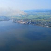
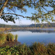
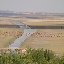
  1. View of the south-western part of the reservoir and Burshtyn thermal power station
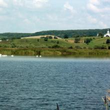
    A view of the pond for commercial fishery (in the background – Kuropatnyky Village).
    A view of the north-eastern bank of the reservoir (in the background – country cottages, a forest, and Kasova Mountain (Halytskyi NNP).
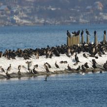
    Flocks of birds in winter.
    Flocks of birds in winter.
    Flocks of birds in winter.
    Flocks of swans.

    Burshtyn Water Reservoir

    • Country: 
      Ukraine
    • Designation date: 
      20-03-2019
    • Site number: 
      2393
    • Published since: 
      4 year(s)
    1,260 ha
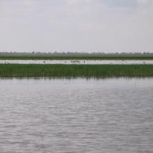
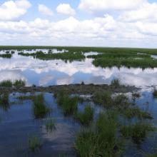
  2. Big Chapeisk Depression
    Big Chapeisk Depression
    Big Chapeisk Depression
    Big Chapeisk Depression
    Big Chapeisk Depression
    Big Chapeisk Depression

    Big Chapelsk Depression

    • Country: 
      Ukraine
    • Designation date: 
      17-11-2003
    • Site number: 
      1397
    • Published since: 
      2 year(s)
    2,359 ha
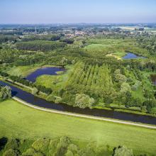
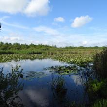
  3. Vue aérienne de la Scarpe et de la tourbière de Vred
    Tourbière de Marchiennes
    Mare à Goriaux
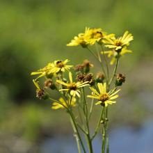
    Sénecio paludosus
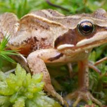
    Grenouille des champs, Rana arvalis

    Vallées de la Scarpe et de l'Escaut

    • Country: 
      France
    • Designation date: 
      02-02-2020
    • Site number: 
      2405
    • Published since: 
      4 year(s)
    27,622 ha
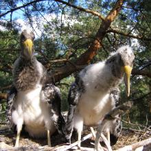
  4. Young birds Ciconia nigra in the nest.
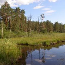
    the Zholobnytsya River
    Lyrurus tetrix
    Плодоношення пухівки на болоті урочище «Мироші»
    Штучні гніздування платформи на екотоні ВБУ
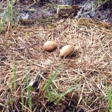
    Nest of Grus grus in the swamp "Myroshi"

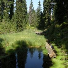
    Polissia Mires

    • Country: 
      Ukraine
    • Designation date: 
      17-11-2003
    • Site number: 
      1403
    • Published since: 
      2 year(s)
    2,145 ha
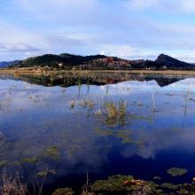
  5. Marjal de Almenara. Panorámica de las lagunas someras
    Marjal de Almenara. Panorámica general
    Marjal de Almenara. Panorámica de estany
    Marjal de Almenara. Panorámica con aves
    Marjal de Almenara. Antiguos arrozales recuperados
    Marjal de Almenara. Cordón litoral de cantos y saladar
    Marjal de Almenara. Detalle de surgencia de agua subterránea en rocas kársticas (ullal)
    Marjal de Almenara. Detalle de surgencia de agua subterránea en rocas kársticas (ullal)
    Marjal de Almenara. Detalle de estany con Ceratophyllums demersum
    Marjal de Almenara. Tareas de muestreo efectuado por voluntarios (programa de seguimiento de calidad de aguas, Generalitat Valenciana)

    Marjal de Almenara

    • Country: 
      Spain
    • Designation date: 
      17-11-2017
    • Site number: 
      2338
    • Published since: 
      3 year(s)
    1,474 ha
  6. Mishok Bog: general view
    Grass-scrub moss cover of Mishok Bog
    Mishok Bog: general view

    Nadsiannia Raised Bog

    • Country: 
      Ukraine
    • Designation date: 
      20-03-2019
    • Site number: 
      2392
    • Published since: 
      4 year(s)
    37 ha
  7. Brebeneskul
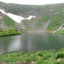
    Ozirne
    Ozirne
    Nizne Ozirne
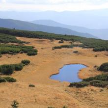
    Stow Ozirnyi-Brebeneskul
    Stow Ozirnyi-Brebeneskul
    Stow Ozirnyi-Brebeneskul

    Ozirnyi-Brebeneskul

    • Country: 
      Ukraine
    • Designation date: 
      04-04-2019
    • Site number: 
      2394
    • Published since: 
      4 year(s)
    1,657 ha
  8. Ławki Marsh
    oxbow
    Łoje-Awissa
    Ławki Marsh
    Ławki Marsh
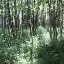
    alder forest
    Biebrza River Valley
    Ławki Marsh

    Biebrzański National Park

    • Country: 
      Poland
    • Designation date: 
      24-10-1995
    • Site number: 
      756
    • Published since: 
      5 year(s)
    59,233 ha
  9. Great White Egret and Black-headed Gull at the Rétszilas Fishponds Ramsar Site

    Rétszilas Fishponds Nature Conservation Area

    • Country: 
      Hungary
    • Designation date: 
      30-04-1997
    • Site number: 
      899
    • Published since: 
      6 year(s)
    1,494 ha
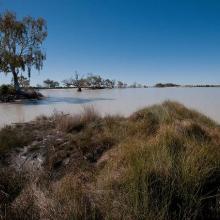
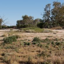
  10. Paroo Mound Spring
    Paroo Mound Spring
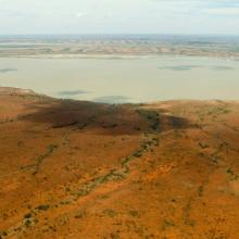
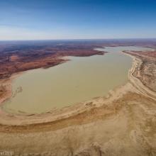
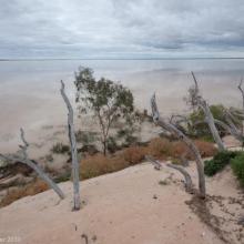
    Aerial view of Peery Lake from north to south down western side
    King Charlie Waterhole, Nocoleche Nature Reserve
    Aerial view of Peery Lake
    Peery Lake shoreline

    Paroo River Wetlands

    • Country: 
      Australia
    • Designation date: 
      13-09-2007
    • Site number: 
      1716
    • Published since: 
      1 year(s)
    138,304 ha

Pages

Stats


Exports

Export Sites information

For a summary list of all the Ramsar Sites in pdf format, click here.

Generate reports of selected Sites

You can generate a report based on the filters you have applied, in either pdf or xls format. The report will sort the results by the Site name, unless you have sorted them by another variable.

For the pdfs, you can choose whether to include the introductory text on each Site, or just show the key data in a shorter report.

To receive a report, please provide your email address and enter the text in the verification picture into the textbox.

As soon as the list has been generated an e-mail will be sent to you with the link to access the file.