Search results

Map

Choose map: | | Download Centroids / Boundaries / Map (pdf)
Materials presented on this website, particularly maps and territorial information, are as-is and as-available based on available data and do not imply the expression of any opinion whatsoever on the part of the Secretariat of the Ramsar Convention concerning the legal status of any country, territory, city or area, or of its authorities, or concerning the delimitation of its frontiers or boundaries.

List

  1. Bombah Broadwater
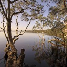
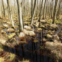
    Swamp Webs, Myall Lakes NP
    Myall Lakes National Park
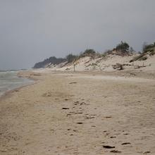
    View south from Dark Point, Myall Lakes National Park
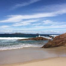
    View of Broughton Island, Myall Lakes National Park

    Myall Lakes

    • Country: 
      Australia
    • Designation date: 
      14-06-1999
    • Site number: 
      994
    • Published since: 
      1 year(s)
    44,612 ha
  2. Peatbog buried by dune
    Bulrush in Gardno Lake
    Alder forest
    Sea coastal waters
    Peatbog
    Gardno Lake
    Gardno Lake
    Sea coastal waters
    Peatbog buried by dune
    Peatbog
    Peatbog
    Wet forest
    bog woodland
    Vaccinio uliginosi-Betuletum pubescentis
    Peatland regenerating after peat extraction
    Peatland regenerating after peat extraction
    Salt marshes
    Sea coastal waters
    Peatbog Krakulice
    Peatbog Krakulice
    Shrubs with bog-myrtle
    Alder forest buried by dune

    Słowiński National Park

    • Country: 
      Poland
    • Designation date: 
      24-10-1995
    • Site number: 
      757
    • Published since: 
      5 year(s)
    32,744 ha
  3. Osmussaare

    Haapsalu-Noarootsi

    • Country: 
      Estonia
    • Designation date: 
      08-02-2011
    • Site number: 
      2022
    • Published since: 
      2 year(s)
    27,450 ha
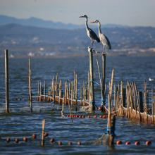
  4. L’Albufera. Sistema de pesca tradicional (redolín)
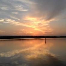
    L’Albufera. Puesta de sol
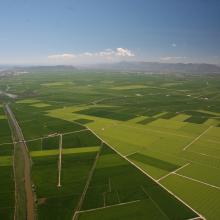
    L’Albufera. Vista aérea de la restinga costera
    L’Albufera. Vista aérea del bosque de la Devesa y de la Mata del Fang.
    L’Albufera. Vista aérea del arrozal en época de cultivo
    L’Albufera. Avifauna en el arrozal inundado.
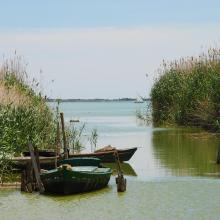
    L’Albufera. Barcas tradicionales de pesca (albuferencs)
    L’Albufera. Imagen de los años 50 de navegación con vela latina
    L’Albufera. Arrozal inundado y construcciones industriales tradicionales

    L'Albufera

    • Country: 
      Spain
    • Designation date: 
      05-12-1989
    • Site number: 
      454
    • Published since: 
      3 year(s)
    20,956 ha
  5. Ramsar logo

    Ko Ra-Ko Phra Thong Archipelago

    • Country: 
      Thailand
    • Designation date: 
      12-08-2013
    • Site number: 
      2153
    • Published since: 
      10 year(s)
    19,648 ha
  6. Traversée Parc National d'Azagny
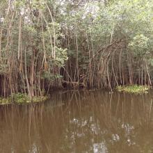
    Mangroves
    Traversée Parc National d'Azagny

    Parc National d’Azagny

    • Country: 
      Côte d'Ivoire
    • Designation date: 
      27-02-1996
    • Site number: 
      790
    • Published since: 
      5 year(s)
    19,400 ha
  7. Vue panoramique de la mare d'Oursi
    Vue panoramique de la mare d'Oursi
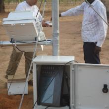
    Installation d'une station agro-météorologique par le Projet REP-Sahel par l'OSS
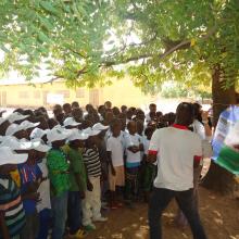
    Séance d'éducation environnementale avec les élèves de l'école primaire de la localité par l'OSS
    Sensibilisation des élèves à la protection des ressources de la zone humide par l'OSS
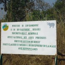
    Photo : Plaque signalétique de l'entrée de la Forêt classé et Réserve de Biosphère de la mare aux hippopotames de Bala
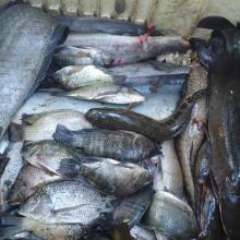
    Photo : Produits de pêche issus de la mare

    La Mare aux hippopotames

    • Country: 
      Burkina Faso
    • Designation date: 
      27-06-1990
    • Site number: 
      491
    • Published since: 
      7 year(s)
    19,200 ha
  8. Open fen mire Zvanets
    The open fen mire is overgrowing with reeds and shrubs

    Zvanets

    • Country: 
      Belarus
    • Designation date: 
      21-10-2002
    • Site number: 
      1219
    • Published since: 
      7 year(s)
    16,227 ha
  9. Marshes in Asköviken-Tidö nature reserve
    View from Söderfjärden nature reserve

    Asköviken-Sörfjärden

    • Country: 
      Sweden
    • Designation date: 
      19-11-2001
    • Site number: 
      1114
    • Published since: 
      7 year(s)
    12,251 ha
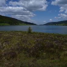
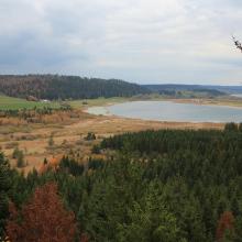
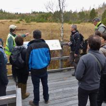
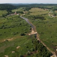
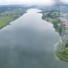
  10. Lac de Bouverans et marais du Varot
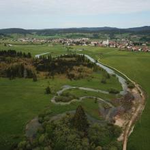
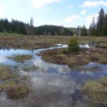
    Tourbière et lac des Rousses - Vallée de l'Orbe
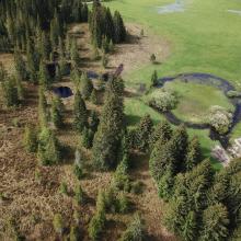
    Restauration des Bief du Nanchez et de Trémontagne - Future RNR des tourbières du Nanchez
    Belvédère des 2 lacs (Remoray/St-Point)
    Tourbière active de Frasne
    Marais du Châtelet après reméandrement de la Lemme - Grandvaux
    lac Saint-Point
    Source du Doubs et tourbière du Moutat - Mouthe
    Tourbières du Moutat, Haut-marais et tremblants - Mouthe
    Tourbière du Bief Belin restaurée (Malpas)
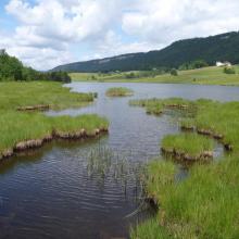
    Tourbière et Lac des Mortes - Chapelle-des-Bois
    Gouilles de Haut-Marais, tourbière de la Chaumoz - Chapelle-des-Bois
    Gouilles de haut-marais de la Seigne des Barbouillons

    Tourbières et lacs de la Montagne jurassienne

    • Country: 
      France
    • Designation date: 
      02-02-2003
    • Site number: 
      1266
    • Published since: 
      3 year(s)
    12,156 ha

Pages

Stats


Exports

Export Sites information

For a summary list of all the Ramsar Sites in pdf format, click here.

Generate reports of selected Sites

You can generate a report based on the filters you have applied, in either pdf or xls format. The report will sort the results by the Site name, unless you have sorted them by another variable.

For the pdfs, you can choose whether to include the introductory text on each Site, or just show the key data in a shorter report.

To receive a report, please provide your email address and enter the text in the verification picture into the textbox.

As soon as the list has been generated an e-mail will be sent to you with the link to access the file.