Search results
Search found 276 Ramsar Sites covering 17,432,278 ha
- (-) Remove Wetland type: Marine or coastal wetlands filter Wetland type: Marine or coastal wetlands
- (-) Remove Designation date: 1989 filter Designation date: 1989
- (-) Remove Wetland type: H: Intertidal marshes filter Wetland type: H: Intertidal marshes
- (-) Remove Statutory designation taxonomy: Overlapping site categories filter Statutory designation taxonomy: Overlapping site categories
- (-) Remove Ecosystem services: Cultural Services filter Ecosystem services: Cultural Services
- (-) Remove Statutory designation taxonomy: UNESCO Biosphere Reserve filter Statutory designation taxonomy: UNESCO Biosphere Reserve
- (-) Remove Management plan available: Yes filter Management plan available: Yes
Map
Materials presented on this website, particularly maps and territorial information, are as-is and as-available based on available data and do not imply the expression of any opinion whatsoever on the part of the Secretariat of the Ramsar Convention concerning the legal status of any country, territory, city or area, or of its authorities, or concerning the delimitation of its frontiers or boundaries.
List
-

Vanhankaupunginlahti, Laajalahti
-
Country:Finland
-
Designation date:28-05-1974
-
Site number:9
-
Published since:19 year(s)
508 ha -
-
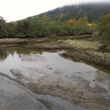
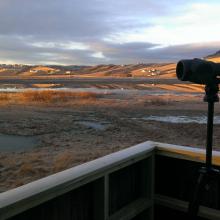

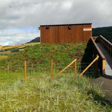
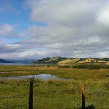
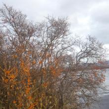
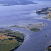

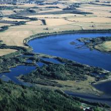
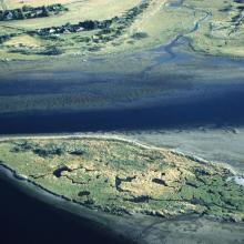

Trondheimfjord wetland system
-
Country:Norway
-
Designation date:06-08-2002
-
Site number:1198
-
Published since:5 year(s)
1,846 ha -
-
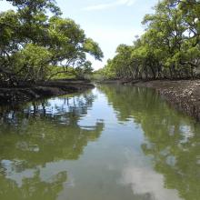
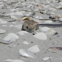
Towra Point
-
Country:Australia
-
Designation date:21-02-1984
-
Site number:286
-
Published since:1 year(s)
632 ha -
-
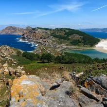

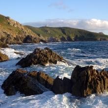

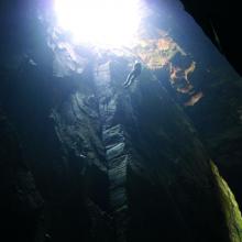

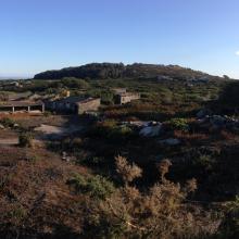
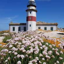
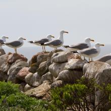
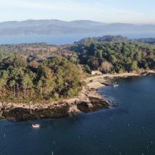
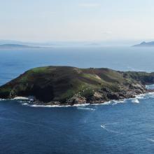
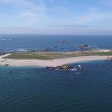
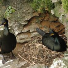
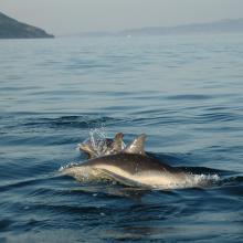
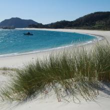
Parque Nacional Marítimo-Terrestre de las Islas Atlánticas de Galicia
-
Country:Spain
-
Designation date:22-05-2021
-
Site number:2453
-
Published since:2 year(s)
8,543 ha -
-
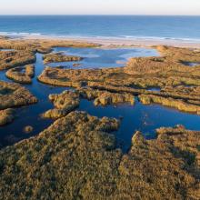
Baie d'Audierne
-
Country:France
-
Designation date:04-09-2021
-
Site number:2460
-
Published since:2 year(s)
2,396 ha -
-
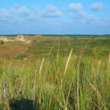
Duinen Terschelling
-
Country:Netherlands (Kingdom of the)
-
Designation date:29-08-2000
-
Site number:2215
-
Published since:1 year(s)
4,040 ha -
-
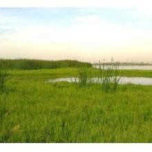
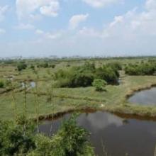
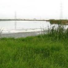
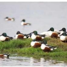
Pallikaranai Marsh Reserve Forest
-
Country:India
-
Designation date:08-04-2022
-
Site number:2481
-
Published since:1 year(s)
1,248 ha -
-
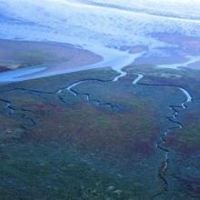
Wadden Sea
-
Country:Netherlands (Kingdom of the)
-
Designation date:02-05-1984
-
Site number:289
-
Published since:1 year(s)
271,023 ha -
-
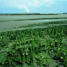
Westerschelde & Saeftinghe
-
Country:Netherlands (Kingdom of the)
-
Designation date:04-09-1995
-
Site number:748
-
Published since:1 year(s)
43,647 ha -
-

Grevelingen
-
Country:Netherlands (Kingdom of the)
-
Designation date:29-08-2000
-
Site number:1272
-
Published since:1 year(s)
13,753 ha -
