Search results

Map

Choose map: | | Download Centroids / Boundaries / Map (pdf)
Materials presented on this website, particularly maps and territorial information, are as-is and as-available based on available data and do not imply the expression of any opinion whatsoever on the part of the Secretariat of the Ramsar Convention concerning the legal status of any country, territory, city or area, or of its authorities, or concerning the delimitation of its frontiers or boundaries.

List

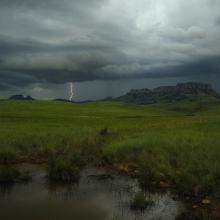
  1. Thunderstorm approaching Ingula
    Escarpment forest
    Bedford wetland
    Ingula mountain range
    Ingula wetlands and wall
    Bedford dam

    Ingula Nature Reserve

    • Country: 
      South Africa
    • Designation date: 
      01-03-2021
    • Site number: 
      2446
    • Published since: 
      3 year(s)
    8,084 ha
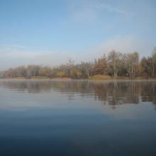
  2. Dnipro-Oril Floodplains
    Dnipro-Oril Floodplains
    Dnipro-Oril Floodplains
    Dnipro-Oril Floodplains
    Dnipro-Oril Floodplains
    Dnipro-Oril Floodplains
    Dnipro-Oril Floodplains
    Dnipro-Oril Floodplains
    Dnipro-Oril Floodplains
    Dnipro-Oril Floodplains
    Dnipro-Oril Floodplains

    Dnipro-Oril Floodplains

    • Country: 
      Ukraine
    • Designation date: 
      17-11-2003
    • Site number: 
      1399
    • Published since: 
      2 year(s)
    2,560 ha
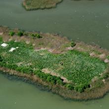
  3. Gull colony on Korom Island at Lake Fehér

    Pusztaszer

    • Country: 
      Hungary
    • Designation date: 
      11-04-1979
    • Site number: 
      188
    • Published since: 
      2 year(s)
    5,086 ha
  4. Colony of Ichthyaetus ichthyaetus on the island of Big Kinsky in Yagorlytska Bay, Black Sea Biosphere Reserve.
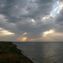
    Coast of Yagorlytska Bay
    Pelecanus onocrotalus on the coastal lakes of Yagorlytska Bay
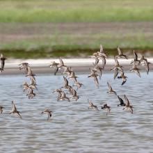
    The coastal lakes and salt marshes of Yagorlytska Bay are the stoppower place of many waders during migrations.
    Middle winter accounting of wintering waterbirds.

    Yagorlytska Bay

    • Country: 
      Ukraine
    • Designation date: 
      28-02-1997
    • Site number: 
      116
    • Published since: 
      1 year(s)
    39,693 ha
  5. An oxbow lake of the river Tisza at Mártély

    Mártély

    • Country: 
      Hungary
    • Designation date: 
      11-04-1979
    • Site number: 
      186
    • Published since: 
      2 year(s)
    2,247 ha
  6. Aerial view

    Oasis of the Sele - Serre Persano

    • Country: 
      Italy
    • Designation date: 
      07-08-2003
    • Site number: 
      1665
    • Published since: 
      1 year(s)
    174 ha
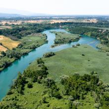
  7. Lower Smotrych River
    Lower Smotrych River

    Lower Smotrych River

    • Country: 
      Ukraine
    • Designation date: 
      17-11-2003
    • Site number: 
      1401
    • Published since: 
      2 year(s)
    1,480 ha
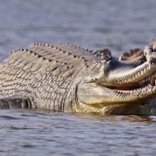
  8. Gharials
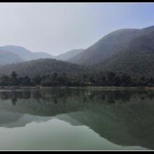
    Satkosia Gorge
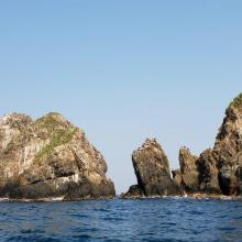
    View of Satkosia Gorge
    View of Satkosia Gorge
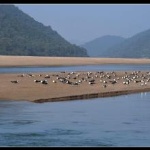
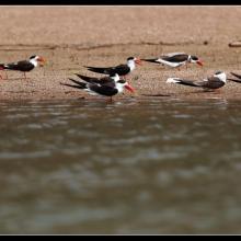
    Indian Skimmer
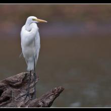
    Great Egret
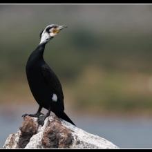
    Great Cormorant
    Brown-headed Gull
    Indian Skimmer

    Satkosia Gorge

    • Country: 
      India
    • Designation date: 
      12-10-2021
    • Site number: 
      2470
    • Published since: 
      1 year(s)
    98,197 ha
  9. Parque Nacional Jeanette Kawas
    Parque Nacional Jeanette Kawas
    Parque Nacional Jeanette Kawas
    Parque Nacional Jeanette Kawas
    Parque Nacional Jeanette Kawas
    Parque Nacional Jeanette Kawas
    Parque Nacional Jeanette Kawas

    Parque Nacional Jeanette Kawas

    • Country: 
      Honduras
    • Designation date: 
      28-03-1995
    • Site number: 
      722
    • Published since: 
      2 year(s)
    79,382 ha
  10. Prut river flow start
    Shrubed peat-bog
    Spurce virgin wet/dry forests
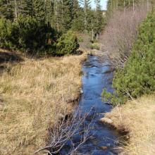
    Stream running through peat bog
    View on Tsybulnyk forested/shurbed peat bog
    A post-glacial kettle under Mount Turkul with the alpine lake Nesamovyte
    A rivulet in the boggy cirque between the mounts of Hoverla and Breskul
    A sedge-moss bog “Tsybulnyk” under Mount Breskul

    Prut River Headwaters

    • Country: 
      Ukraine
    • Designation date: 
      20-03-2019
    • Site number: 
      2395
    • Published since: 
      4 year(s)
    4,935 ha

Pages

Stats


Exports

Export Sites information

For a summary list of all the Ramsar Sites in pdf format, click here.

Generate reports of selected Sites

You can generate a report based on the filters you have applied, in either pdf or xls format. The report will sort the results by the Site name, unless you have sorted them by another variable.

For the pdfs, you can choose whether to include the introductory text on each Site, or just show the key data in a shorter report.

To receive a report, please provide your email address and enter the text in the verification picture into the textbox.

As soon as the list has been generated an e-mail will be sent to you with the link to access the file.