Search results

Map

Choose map: | | Download Centroids / Boundaries / Map (pdf)
Materials presented on this website, particularly maps and territorial information, are as-is and as-available based on available data and do not imply the expression of any opinion whatsoever on the part of the Secretariat of the Ramsar Convention concerning the legal status of any country, territory, city or area, or of its authorities, or concerning the delimitation of its frontiers or boundaries.

List

  1. Aythya ferina
    Fulica atra
    Platalea leucorodia
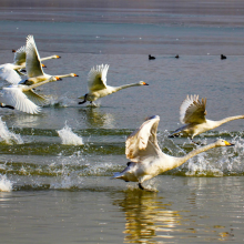
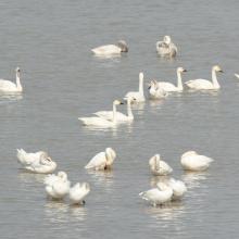
    Cygnus Cygnus and Cygnus columbianus
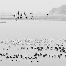
    The ducks in Weishanhu wetland
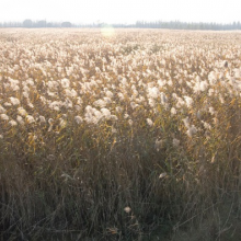
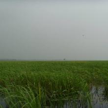
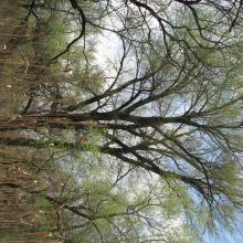
    Phragmites australis
    Phragmites australis

    Shandong Jining Nansi Lake

    • Country: 
      China
    • Designation date: 
      08-01-2018
    • Site number: 
      2346
    • Published since: 
      5 year(s)
    50,762 ha
  2. Platalea leucorodia and Anser fabalis in winter
    Foraging Grus monacha
    Crowds of Anser fabalis
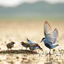
    Chlidonias hybrid
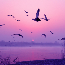
    Cygnus columbianus
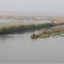
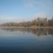
    Wetland scenery of the site

    Anhui Shengjin Lake National Nature Reserve

    • Country: 
      China
    • Designation date: 
      16-10-2015
    • Site number: 
      2248
    • Published since: 
      8 year(s)
    33,340 ha
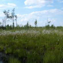
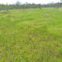
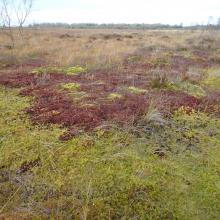
  3. mesoeutrophic bog
    Cariceto-Scheuchzerieto (palustris)-Sphagneta formations
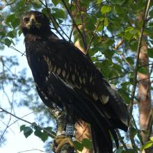
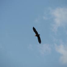
    Ringed Aquila clanga

    Perebrody Peatlands

    • Country: 
      Ukraine
    • Designation date: 
      17-11-2003
    • Site number: 
      1402
    • Published since: 
      7 year(s)
    12,718 ha
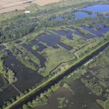
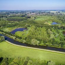
  4. Vallée de la Somme à l'aval d'Amiens
    Vallée de la Somme et canal entre Amiens et Abbeville
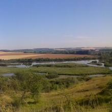
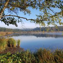
    Etangs de la Haute Somme depuis les hauteurs de Frise
    Belvédère de Frise au dessus des étangs de la Haute Somme
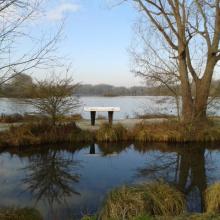
    Etangs et belvédère de Cléry/Somme

    Marais et tourbières des vallées de la Somme et de l’Avre

    • Country: 
      France
    • Designation date: 
      18-12-2017
    • Site number: 
      2322
    • Published since: 
      6 year(s)
    13,100 ha
  5. Dnipro-Oril Floodplains
    Dnipro-Oril Floodplains
    Dnipro-Oril Floodplains
    Dnipro-Oril Floodplains
    Dnipro-Oril Floodplains
    Dnipro-Oril Floodplains
    Dnipro-Oril Floodplains
    Dnipro-Oril Floodplains
    Dnipro-Oril Floodplains
    Dnipro-Oril Floodplains
    Dnipro-Oril Floodplains

    Dnipro-Oril Floodplains

    • Country: 
      Ukraine
    • Designation date: 
      17-11-2003
    • Site number: 
      1399
    • Published since: 
      2 year(s)
    2,560 ha
  6. Aerial view

    Oasis of the Sele - Serre Persano

    • Country: 
      Italy
    • Designation date: 
      07-08-2003
    • Site number: 
      1665
    • Published since: 
      1 year(s)
    174 ha
  7. Clara Bog
    Active Raised Bog displaying Sphagnum magellanicum low hummocks and lawns and Sphagnum cuspidatum pools.
    Sphagnum magellanicum & S. cuspidatum lawns within a soak system at Clara West.

    Clara Bog

    • Country: 
      Ireland
    • Designation date: 
      06-12-1988
    • Site number: 
      415
    • Published since: 
      2 year(s)
    460 ha
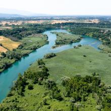
  8. Murafa River
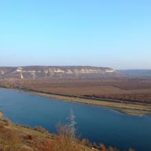
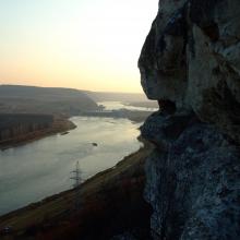
    Dniester River
    Dniester River
    Rosa canina L.
    Ardea cinerea near Murafa River
    Murafa River

    Liadova-Murafa

    • Country: 
      Ukraine
    • Designation date: 
      04-04-2019
    • Site number: 
      2387
    • Published since: 
      4 year(s)
    5,394 ha
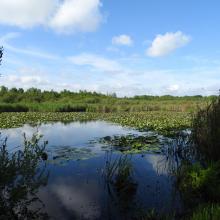
  9. Humedal Juan Amarillo
    Humedal La Vaca
    Humedal Córdoba
    Humedal Jaboque
    Humedal Juan Amarillo
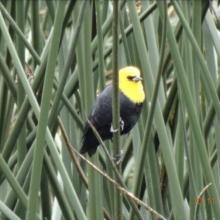
    Monjita bogotana, Humedal del Burro
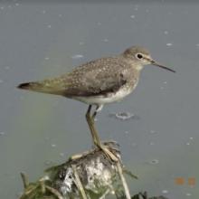
    Andarrios solitario, Humedal de la Vaca
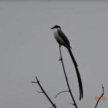
    Tijereta sabanera, Humedal de Tibanica

    Complejo de Humedales Urbanos del Distrito Capital de Bogotá

    • Country: 
      Colombia
    • Designation date: 
      06-08-2018
    • Site number: 
      2404
    • Published since: 
      4 year(s)
    667 ha
  10. Vue aérienne de la Scarpe et de la tourbière de Vred
    Tourbière de Marchiennes
    Mare à Goriaux
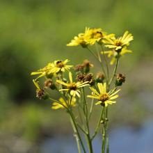
    Sénecio paludosus
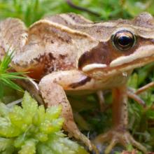
    Grenouille des champs, Rana arvalis

    Vallées de la Scarpe et de l'Escaut

    • Country: 
      France
    • Designation date: 
      02-02-2020
    • Site number: 
      2405
    • Published since: 
      4 year(s)
    27,622 ha

Pages

Stats


Exports

Export Sites information

For a summary list of all the Ramsar Sites in pdf format, click here.

Generate reports of selected Sites

You can generate a report based on the filters you have applied, in either pdf or xls format. The report will sort the results by the Site name, unless you have sorted them by another variable.

For the pdfs, you can choose whether to include the introductory text on each Site, or just show the key data in a shorter report.

To receive a report, please provide your email address and enter the text in the verification picture into the textbox.

As soon as the list has been generated an e-mail will be sent to you with the link to access the file.