Search results

Map

Choose map: | | Download Centroids / Boundaries / Map (pdf)
Materials presented on this website, particularly maps and territorial information, are as-is and as-available based on available data and do not imply the expression of any opinion whatsoever on the part of the Secretariat of the Ramsar Convention concerning the legal status of any country, territory, city or area, or of its authorities, or concerning the delimitation of its frontiers or boundaries.

List

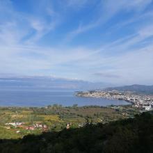
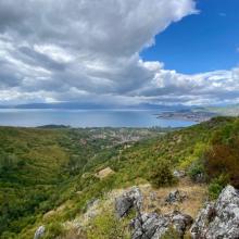
  1. Ohrid lake and Studencisko blato
    Ohrid lake
    Ohrid lake

    Lake Ohrid

    • Country: 
      North Macedonia
    • Designation date: 
      15-02-2021
    • Site number: 
      2449
    • Published since: 
      2 year(s)
    25,205 ha
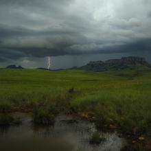
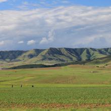
  2. Thunderstorm approaching Ingula
    Escarpment forest
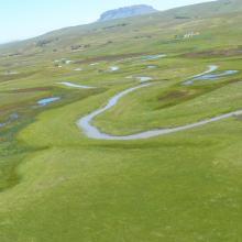
    Bedford wetland
    Ingula mountain range
    Ingula wetlands and wall
    Bedford dam

    Ingula Nature Reserve

    • Country: 
      South Africa
    • Designation date: 
      01-03-2021
    • Site number: 
      2446
    • Published since: 
      3 year(s)
    8,084 ha
  3. Voordelta

    Voordelta

    • Country: 
      Netherlands (Kingdom of the)
    • Designation date: 
      29-08-2000
    • Site number: 
      1279
    • Published since: 
      1 year(s)
    92,271 ha
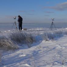
  4. Colony of Ichthyaetus ichthyaetus on the island of Big Kinsky in Yagorlytska Bay, Black Sea Biosphere Reserve.
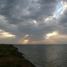
    Coast of Yagorlytska Bay
    Pelecanus onocrotalus on the coastal lakes of Yagorlytska Bay
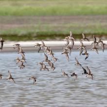
    The coastal lakes and salt marshes of Yagorlytska Bay are the stoppower place of many waders during migrations.
    Middle winter accounting of wintering waterbirds.

    Yagorlytska Bay

    • Country: 
      Ukraine
    • Designation date: 
      28-02-1997
    • Site number: 
      116
    • Published since: 
      1 year(s)
    39,693 ha
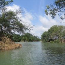
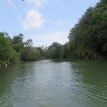
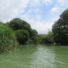
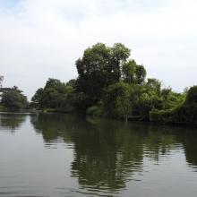
  5. Lower Smotrych River
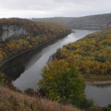
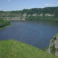
    Lower Smotrych River

    Lower Smotrych River

    • Country: 
      Ukraine
    • Designation date: 
      17-11-2003
    • Site number: 
      1401
    • Published since: 
      2 year(s)
    1,480 ha
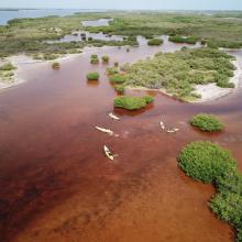
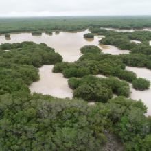
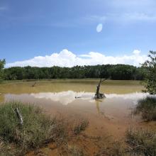
  6. Vista aérea de la ciénaga
    Vista aérea del bosque de manglar entre la ciénaga
    Vista lateral de la ciénaga
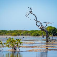
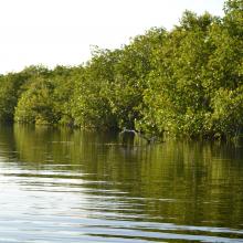
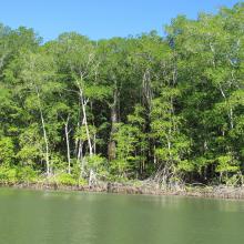
    Borde de manglar en la ciénaga
    Manglar dentro de la ciénaga
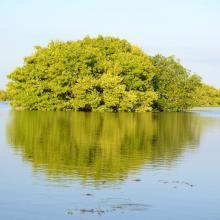
    Islote de manglar
    Vegetación acuática asociada al manglar
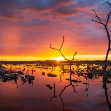
    Atardecer en la ciénaga
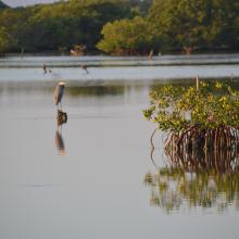
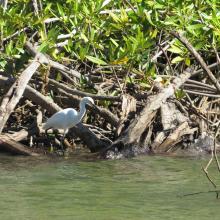
    Garza morena entre el manglar
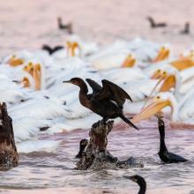
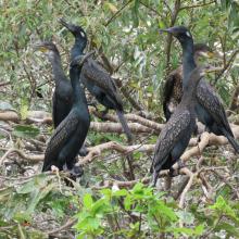
    Pelícanos y cormoranes en la ciénaga
    Parvada de flamencos en la ciénaga
    Entrada a un  petén costero
    Petén costero
    Superficie de un petén costero
    Interior de un petén costero

    Reserva Estatal Ciénagas y Manglares de la Costa Norte de Yucatán

    • Country: 
      Mexico
    • Designation date: 
      02-02-2022
    • Site number: 
      2468
    • Published since: 
      1 year(s)
    54,777 ha
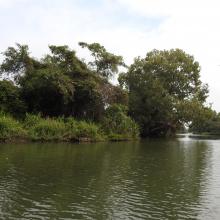
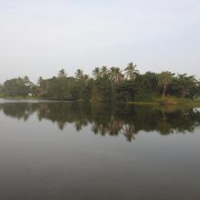
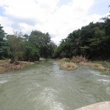
  7. Ranganathittu Habitat
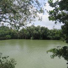
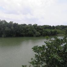
    Ranganathittu Habitat
    Ranganathittu Habitat
    Ranganathittu Habitat
    Ranganathittu Habitat
    Ranganathittu Habitat
    Ranganathittu Habitat
    Ranganathittu Habitat
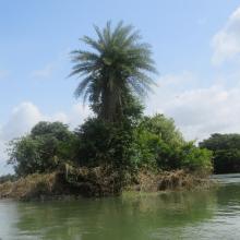
    Devaraja Island
    Gendehosahalli Island
    Gendehosahalli Island
    Gendehosahalli Island
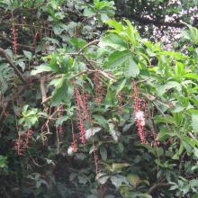
    Barringtonia acutangula, a rare plant at Ranganthittu
    Mugger (Marsh) Crocodiles Crocodylus palustris at Ranganathittu
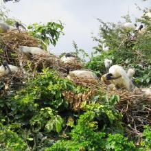
    Black-headed Ibis Threskiornis melanocephalus breeding at Ranganathittu
    Indian Cormorant Phalacrocorax fuscicollis at Ranganathittu
    Cattle Egret Bubulcus ibis nesting at Ranganathittu

    Ranganathittu Bird Sanctuary

    • Country: 
      India
    • Designation date: 
      15-02-2022
    • Site number: 
      2473
    • Published since: 
      1 year(s)
    518 ha
  8. Bosque de Manglar/Estero de Jaltepeque
    Bosque de Manglar/Estero de Jaltepeque
    Phalacrocorax brasilianus (Pato Chancho) especie potencialmente oportunista en la zona.
    Pandion haliaetus (Águila Pescadora), migratoria.
    Egretta thula (Garza blanca de patas amarillas).

    Complejo Jaltepeque

    • Country: 
      El Salvador
    • Designation date: 
      02-02-2011
    • Site number: 
      1935
    • Published since: 
      2 year(s)
    49,474 ha
  9. Osmussaare

    Haapsalu-Noarootsi

    • Country: 
      Estonia
    • Designation date: 
      08-02-2011
    • Site number: 
      2022
    • Published since: 
      2 year(s)
    27,450 ha
  10. White
-
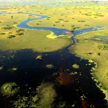
faced ducks in the floodplains of the southern Okavango
    Peak flood near Duba, where the Okavango Panhandle first fans out
     Underwater sand bars near Xo Flats, central Okavango
    the Boteti River receiving new floods at Samedupi.

    Okavango Delta System

    • Country: 
      Botswana
    • Designation date: 
      09-12-1996
    • Site number: 
      879
    • Published since: 
      3 year(s)
    5,537,400 ha

Pages

Stats


Exports

Export Sites information

For a summary list of all the Ramsar Sites in pdf format, click here.

Generate reports of selected Sites

You can generate a report based on the filters you have applied, in either pdf or xls format. The report will sort the results by the Site name, unless you have sorted them by another variable.

For the pdfs, you can choose whether to include the introductory text on each Site, or just show the key data in a shorter report.

To receive a report, please provide your email address and enter the text in the verification picture into the textbox.

As soon as the list has been generated an e-mail will be sent to you with the link to access the file.