Search results

Map

Choose map: | | Download Centroids / Boundaries / Map (pdf)
Materials presented on this website, particularly maps and territorial information, are as-is and as-available based on available data and do not imply the expression of any opinion whatsoever on the part of the Secretariat of the Ramsar Convention concerning the legal status of any country, territory, city or area, or of its authorities, or concerning the delimitation of its frontiers or boundaries.

List

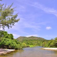
  1. Desembocadura de rió en Playa El Soldado
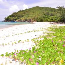
    Playa El Soldado
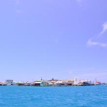
    Cayo Bonacca
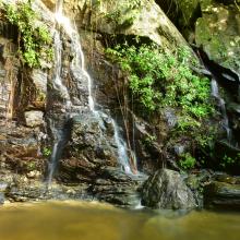
    Island House Waterfall
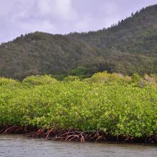
    Vista del manglar y montaña de pino desde el canal
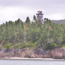
    El Faro sobre la cima de un cerro de pinos

    Sistema de Humedales de la Isla de Guanaja

    • Country: 
      Honduras
    • Designation date: 
      25-10-2021
    • Site number: 
      2456
    • Published since: 
      2 year(s)
    13,148 ha
  2. Canal Chamber
    Espejo de Agua de la Laguna de Alvarado
    Laguna de alvarado
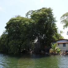
    Canal Chamber, Laguna de Alvarado
    Laguna de Alvarado
    Laguna de Alvarado
    Laguna de Alvarado
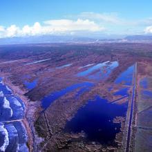
    Laguna de Alvarado vista aérea

    Sistema de Humedal Laguna de Alvarado

    • Country: 
      Honduras
    • Designation date: 
      02-02-2019
    • Site number: 
      2418
    • Published since: 
      4 year(s)
    13,846 ha
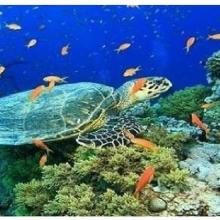
  3. Olive ridley Turtle, corals
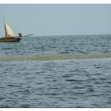
    Sea Grass over shallow water surface
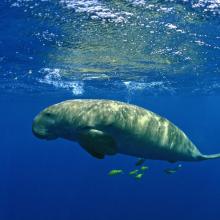
    Dugong
    Panoramic view of Gulf of Mannar Marine Biosphere Reserve
    Mangrove cover in Mannar Biosphere Reserve

    Gulf of Mannar Marine Biosphere Reserve

    • Country: 
      India
    • Designation date: 
      08-04-2022
    • Site number: 
      2472
    • Published since: 
      1 year(s)
    52,672 ha
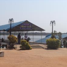
  4. Boating Facility at Tampara Lake
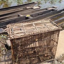
    Fishing Net & Boats at Tampara lake
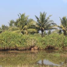
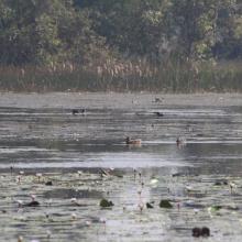
    Wetland surface
    Adjacent vegetation
    Wetland surface
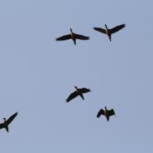
    Birds above the wetland

    Tampara Lake

    • Country: 
      India
    • Designation date: 
      12-10-2021
    • Site number: 
      2489
    • Published since: 
      1 year(s)
    300 ha
  5. panoramic view of Pallikaranai Marsh
    Ariel View of Pallikaranai Marsh
    Pallikaranai Marsh
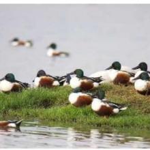
    Northern Shoveler

    Pallikaranai Marsh Reserve Forest

    • Country: 
      India
    • Designation date: 
      08-04-2022
    • Site number: 
      2481
    • Published since: 
      1 year(s)
    1,248 ha
  6. Flamingoes in Thane creek
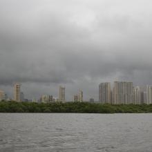
    Mangroves and City
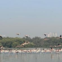
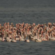
    congregation of Lesser flamingoes
    Mangroves of Thane creek
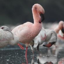
    Closeup view

    Thane Creek

    • Country: 
      India
    • Designation date: 
      13-04-2022
    • Site number: 
      2490
    • Published since: 
      1 year(s)
    6,521 ha
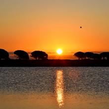
  7. Sunrise at the Salt ponds of Trapani and Paceco (Salina Salinella)
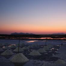
    Sunset (Salina Chiusa),on the left, the old tower of Nubia and the Egadi island on the background
    Marsh and salt ponds  area at the Salt ponds (near Salina Salinella)
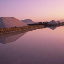
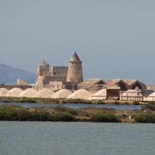
    Pile of Salt harvested and left on the leeves of the salt ponds (Salina Calcara)
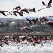
    A flock of Flamingos (Phoenicopterus ruber), an old mill on the background and Favignana Island
    A flock of Flamingos (Phoenicopterus ruber)
    Cynomorium coccineum on Stagnone di Marsala Islands (Isola Grande)
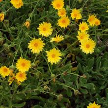
    Calendula incana subsp.  maritima on Stagnone di Marsala Islands (Isola Grande)
    Myriolimon ferulaceum on Stagnone di Marsala Islands (Isola Grande)
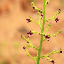
    Scrophularia frutescens on Stagnone di Marsala Islands (Isola Grande)
    Limonium hyblaeum on Stagnone di Marsala Islands (Isola Grande)

    Trapani and Paceco salt ponds

    • Country: 
      Italy
    • Designation date: 
      19-10-2017
    • Site number: 
      2329
    • Published since: 
      6 year(s)
    971 ha
  8. Lame di Fuori Natural Reserve – Massaciuccoli Ramsar Site
    Wintering ducks – Massaciuccoli Ramsar Site
    Massaciuccoli lake and marshland – Massaciuccoli Ramsar Site
    Flooded forest – Massaciuccoli Ramsar Site

    Massaciuccoli lake and marsh

    • Country: 
      Italy
    • Designation date: 
      22-06-2017
    • Site number: 
      2311
    • Published since: 
      6 year(s)
    11,135 ha
  9. Stagno Longu -
Posada - Volo di
fenicotteri
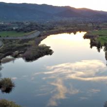
    Riflessi sul Rio
Posada
    Tramonto su
Posada dallo
stagno Longu
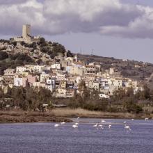
    Skyline di Posada
dal Rio Posada
    Riflessi sul Rio
Posada
    Riflesso del
Montalbo sul Rio
Posada da San
Giovanni
    Pescatore alla
foce di Orvile
    Alba sul Rio
Posada - Stagno
Tundu
I
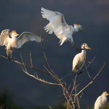
    Stagni di Posada – Volo di aironi guarda buoi (Bubulcus ibis)
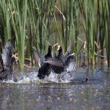
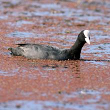
    Stagni di Posada – Combattimento di folaghe (Fulica atra)
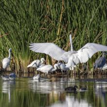
    Stagni di Posada - Aironi
    Stagni di Posada – Posatoio di Aironi guardabuoi (Bubulcus ibis)
    Stagni di Posada – Folaga (Fulica atra)
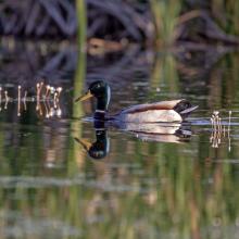
    Stagni di Posada – Germano reale
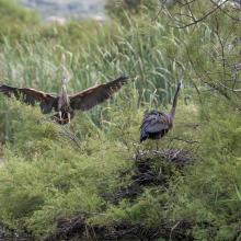
    Stagni di Posada – Nidificazione di Airone rosso (Arsea purpurea)
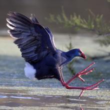
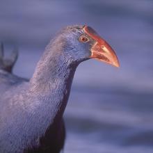
    Stagni di Posada – Pollo sulatno (Porphyrio porphyrio)
    Stagni di Posada – Pollo sultano (Porphyrio porphyrio)
    -Stagni di Posada
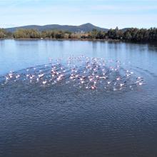
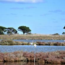
    Fenicotteri foce – stagno Posada
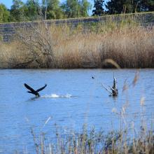
    Cormorano si alza in volo (Torpè)
    La peschiera Posada foce
    Vista aerea Ramsar a Torpè (direzione Ovest)
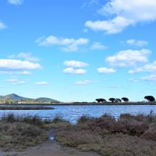
    Stagno – foce
    Dal guado di Torpè sguardo a Ovest
    Canneto e avifauna a Torpè

    Posada River Mouth

    • Country: 
      Italy
    • Designation date: 
      25-02-2021
    • Site number: 
      2452
    • Published since: 
      2 year(s)
    736 ha
  10. A landscape of Lower Maruyama River taken from Toyooka Bridge located in the site "Lower Maruyama River and the surrounding rice paddies"

    Lower Maruyama River and the Surrounding Rice Paddies

    • Country: 
      Japan
    • Designation date: 
      03-07-2012
    • Site number: 
      2055
    • Published since: 
      5 year(s)
    1,094 ha

Pages

Stats


Exports

Export Sites information

For a summary list of all the Ramsar Sites in pdf format, click here.

Generate reports of selected Sites

You can generate a report based on the filters you have applied, in either pdf or xls format. The report will sort the results by the Site name, unless you have sorted them by another variable.

For the pdfs, you can choose whether to include the introductory text on each Site, or just show the key data in a shorter report.

To receive a report, please provide your email address and enter the text in the verification picture into the textbox.

As soon as the list has been generated an e-mail will be sent to you with the link to access the file.